The right side offers the Sierra de Guadarrama during departure, a chance at Bay of Biscay coastline and Irish coast during the early cruise, and the Blue Ridge Mountains on arrival, giving it more varied terrain than the largely ocean-facing left side.
Flown MAD to IAD? Did we get it right?
Flight Path
Madrid to Washington is 3,806 miles (6,125 km), a flight of about 8 hours 15 minutes.
Bay of Biscay coastline, southern Ireland's coast, open North Atlantic, Newfoundland's rugged shoreline
Great circle distance and headings ›

Phase by phase

Takeoff from MAD
RIGHTDeparting Madrid in the typical north configuration, the climb-out curves toward the northwest, putting the Sierra de Guadarrama's granite peaks and the plateau north of Madrid on the right side of the aircraft. The left side mostly shows the flat Castilian plain fading into haze.
Landing at IAD
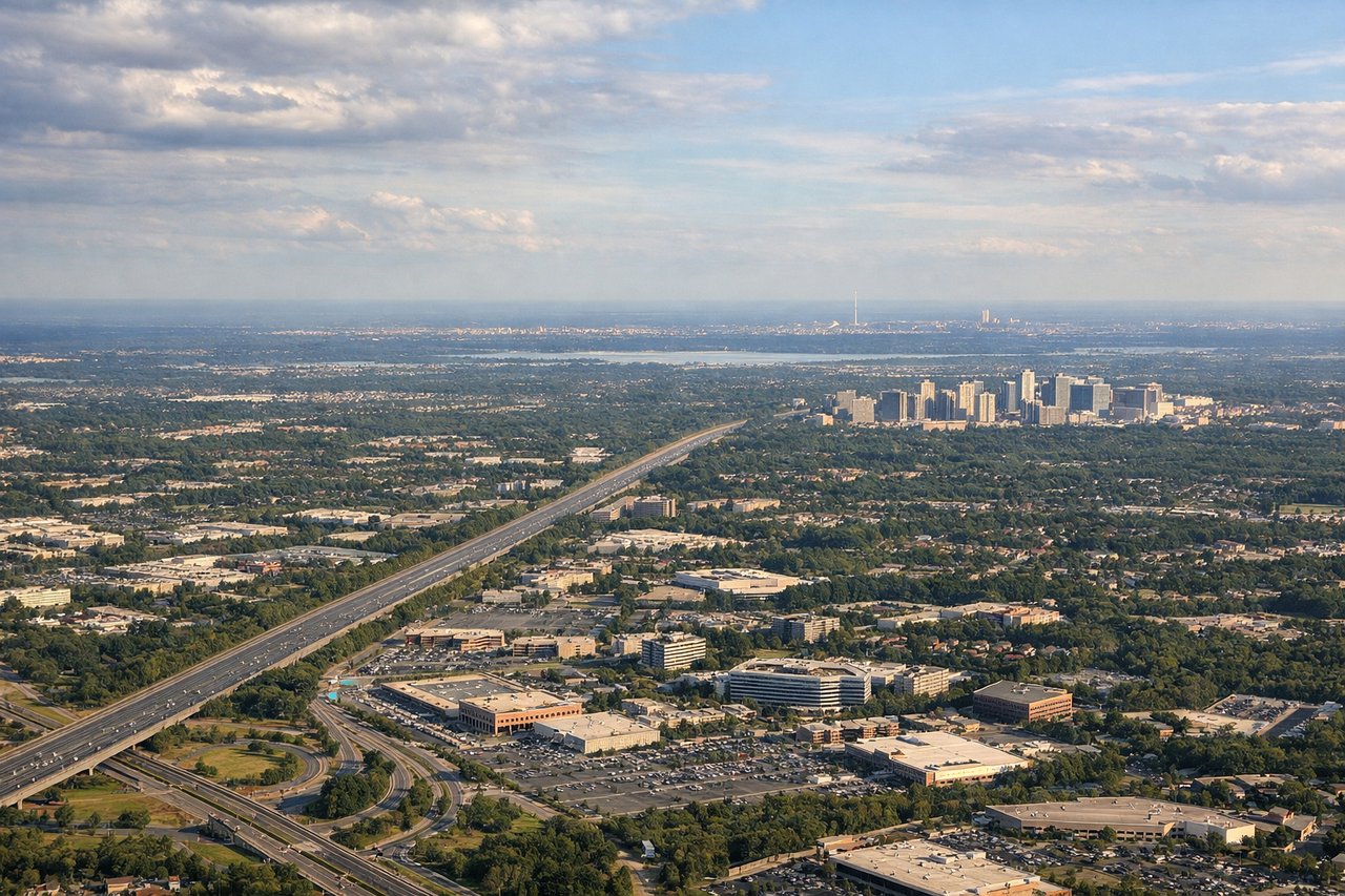
RIGHTOn approach into Dulles from the north or east, the final turn onto the north-south runways often brings the Blue Ridge Mountains and the Shenandoah Valley into view on the right side as the aircraft descends over rolling Virginia countryside. The left side typically faces flatter suburban terrain toward Washington DC's outer suburbs with fewer distinct features.
Will your flight be in sunlight?
Pick a date and time in the Sun Map to watch the sun move across your whole flight.
About This Route
Which side of the plane should I sit on flying from Barajas (MAD) to Washington Dulles International (IAD)?
Sit on the Right side of the plane for the best views on flights from Madrid to Washington. The right side offers the Sierra de Guadarrama during departure, a chance at Bay of Biscay coastline and Irish coast during the early cruise, and the Blue Ridge Mountains on arrival, giving it more varied terrain than the largely ocean-facing left side.
What can I see during takeoff from Barajas in Madrid?
During takeoff from Barajas (MAD), sit on the Right side for the best views. Departing Madrid in the typical north configuration, the climb-out curves toward the northwest, putting the Sierra de Guadarrama's granite peaks and the plateau north of Madrid on the right side of the aircraft. The left side mostly shows the flat Castilian plain fading into haze. Notable sights include: Sierra de Guadarrama, Madrid's northern suburbs, the Manzanares valley.
What can I see when landing at Washington Dulles International in Washington?
When landing at Washington Dulles International (IAD), sit on the Right side for the best views. On approach into Dulles from the north or east, the final turn onto the north-south runways often brings the Blue Ridge Mountains and the Shenandoah Valley into view on the right side as the aircraft descends over rolling Virginia countryside. The left side typically faces flatter suburban terrain toward Washington DC's outer suburbs with fewer distinct features. Notable sights include: Blue Ridge Mountains, Shenandoah Valley foothills, Loudoun County farmland, Dulles terminal area.
How long is the flight from Madrid to Washington?
The flight from Barajas (MAD) to Washington Dulles International (IAD) takes about 8 hours 15 minutes. The shortest flight path between them is 3,806 miles (6,125 km); winds and air traffic control usually add a few percent.
What does the Madrid to Washington flight path pass over?
Bay of Biscay coastline, southern Ireland's coast, open North Atlantic, Newfoundland's rugged shoreline