Madrid to Santa Cruz De La Palma is 1,148 miles (1,847 km), a flight of about 2 hours 15 minutes.
While takeoff offers dramatic mountain views on the right, the landing approach on the left provides more sustained visual interest with La Palma's volcanic landscape, calderas, and dramatic northern cliffs. The descent into the Canaries offers more varied terrain than the climb-out from Madrid.
Flight Path
The flight path crosses the Iberian Peninsula heading southwest, passing over Extremadura's rolling terrain and the Tagus River valley. As the aircraft reaches southern Spain, the Sierra Morena mountains appear to the south. The Atlantic coast near the Portuguese border is crossed around the midpoint. Beyond that, the open Atlantic Ocean dominates with no significant landmarks until approaching the Canary Islands' airspace. The islands become visible approximately 30 minutes before landing, with Tenerife's Mount Teide (12,198 ft) often visible as a distant peak to the south if weather permits.
Great circle distance and headings ›Phase by phase
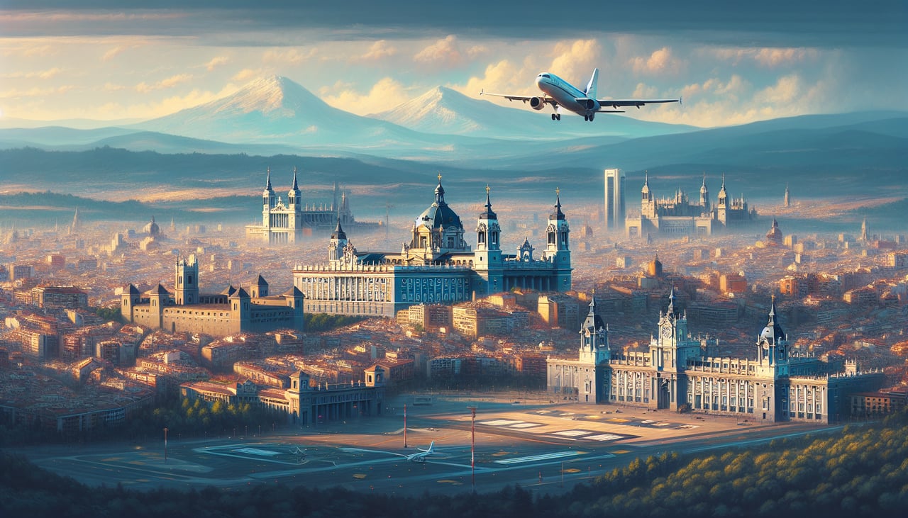
Takeoff from MAD
RIGHTMadrid-Barajas typically departs runways 32L/32R (northwest heading). Right-side seats face toward the Sierra de Guadarrama mountain range immediately northwest of the airport, which rises prominently during initial climb. Left seats show the flat Meseta plateau extending eastward with minimal relief.
Landing at SPC
LEFTLa Palma airport (runway 09/27) typically receives aircraft from the northeast on approach to runway 09. Left-side seats face the volcanic terrain and the island's dramatic northern coastline. Right seats show the open Atlantic Ocean with minimal visual interest during descent.
Will your flight be in sunlight?
Pick a date and time in the Sun Map to watch the sun move across your whole flight.
About This Route
Which side of the plane should I sit on flying from Barajas (MAD) to La Palma (SPC)?
Sit on the Left side of the plane for the best views on flights from Madrid to Santa Cruz De La Palma. While takeoff offers dramatic mountain views on the right, the landing approach on the left provides more sustained visual interest with La Palma's volcanic landscape, calderas, and dramatic northern cliffs. The descent into the Canaries offers more varied terrain than the climb-out from Madrid.
What can I see during takeoff from Barajas in Madrid?
During takeoff from Barajas (MAD), sit on the Right side for the best views. Madrid-Barajas typically departs runways 32L/32R (northwest heading). Right-side seats face toward the Sierra de Guadarrama mountain range immediately northwest of the airport, which rises prominently during initial climb. Left seats show the flat Meseta plateau extending eastward with minimal relief. Notable sights include: Sierra de Guadarrama (northwest, snow-capped in winter), Manzanares River valley (north), Madrid city sprawl (south and southeast), Toledo plateau edge (south).
What can I see when landing at La Palma in Santa Cruz De La Palma?
When landing at La Palma (SPC), sit on the Left side for the best views. La Palma airport (runway 09/27) typically receives aircraft from the northeast on approach to runway 09. Left-side seats face the volcanic terrain and the island's dramatic northern coastline. Right seats show the open Atlantic Ocean with minimal visual interest during descent. Notable sights include: Caldera de Taburiente (central volcanic crater, visible as dark depression), Roque de los Muchachos peak (northern ridge, 7,500 ft), La Palma's northern cliffs (Acantilados del Norte), Atlantic coastline.
How long is the flight from Madrid to Santa Cruz De La Palma?
The flight from Barajas (MAD) to La Palma (SPC) takes about 2 hours 15 minutes. The shortest flight path between them is 1,148 miles (1,847 km); winds and air traffic control usually add a few percent.
What does the Madrid to Santa Cruz De La Palma flight path pass over?
The flight path crosses the Iberian Peninsula heading southwest, passing over Extremadura's rolling terrain and the Tagus River valley. As the aircraft reaches southern Spain, the Sierra Morena mountains appear to the south. The Atlantic coast near the Portuguese border is crossed around the midpoint. Beyond that, the open Atlantic Ocean dominates with no significant landmarks until approaching the Canary Islands' airspace. The islands become visible approximately 30 minutes before landing, with Tenerife's Mount Teide (12,198 ft) often visible as a distant peak to the south if weather permits.