Right side scores 3.5 versus left's 2.5 due to superior landing scenery. While Madrid's departure offers modest urban interest, Calgary's approach over the Canadian Rockies and Bow River valley provides genuine dramatic terrain that dominates the final descent. The Rocky Mountains visible from 30+ miles away create a memorable visual climax that outweighs Madrid's relatively flat departure over the Meseta Central.
Flown MAD to YYC? Did we get it right?
Flight Path
Madrid to Calgary is 4,850 miles (7,805 km), a flight of about 9 hours 15 minutes.
North Atlantic Ocean (5+ hours of open water with minimal visual interest), Greenland's eastern coast and glaciated terrain (if visible on northern routing), Canadian Arctic archipelago islands, Great Slave Lake region, Canadian Shield forests and lakes, transition from boreal forest to Alberta prairie grasslands
Great circle distance and headings ›Phase by phase
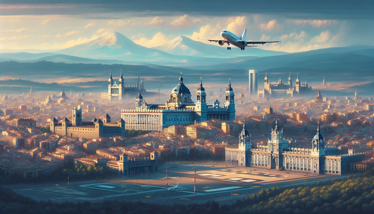
Takeoff from MAD
RIGHTRight side captures Madrid's urban sprawl and the initial climb over the Meseta Central plateau. Left side faces inland terrain with minimal immediate visual interest during the critical takeoff and initial climb phase.
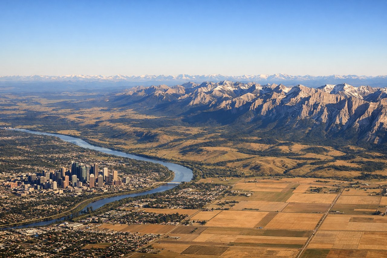
Landing at YYC
RIGHTRight side offers the dramatic Rocky Mountain approach to Calgary. The Canadian Rockies dominate the western horizon during descent, with the Bow River valley and Calgary's urban grid visible in the final approach. Left side shows only the flat Alberta prairie and grasslands.
Will your flight be in sunlight?
Pick a date and time in the Sun Map to watch the sun move across your whole flight.
About This Route
Which side of the plane should I sit on flying from Barajas (MAD) to Calgary International (YYC)?
Sit on the Right side of the plane for the best views on flights from Madrid to Calgary. Right side scores 3.5 versus left's 2.5 due to superior landing scenery. While Madrid's departure offers modest urban interest, Calgary's approach over the Canadian Rockies and Bow River valley provides genuine dramatic terrain that dominates the final descent. The Rocky Mountains visible from 30+ miles away create a memorable visual climax that outweighs Madrid's relatively flat departure over the Meseta Central.
What can I see during takeoff from Barajas in Madrid?
During takeoff from Barajas (MAD), sit on the Right side for the best views. Right side captures Madrid's urban sprawl and the initial climb over the Meseta Central plateau. Left side faces inland terrain with minimal immediate visual interest during the critical takeoff and initial climb phase. Notable sights include: Madrid city center and suburbs, Meseta Central plateau, Sierra de Guadarrama mountains (distant, northeast horizon).
What can I see when landing at Calgary International in Calgary?
When landing at Calgary International (YYC), sit on the Right side for the best views. Right side offers the dramatic Rocky Mountain approach to Calgary. The Canadian Rockies dominate the western horizon during descent, with the Bow River valley and Calgary's urban grid visible in the final approach. Left side shows only the flat Alberta prairie and grasslands. Notable sights include: Canadian Rocky Mountains (western horizon), Bow River valley, Calgary downtown skyline, Lake Louise and Banff National Park (distant, visible on clear days).
How long is the flight from Madrid to Calgary?
The flight from Barajas (MAD) to Calgary International (YYC) takes about 9 hours 15 minutes. The shortest flight path between them is 4,850 miles (7,805 km); winds and air traffic control usually add a few percent.
What does the Madrid to Calgary flight path pass over?
North Atlantic Ocean (5+ hours of open water with minimal visual interest), Greenland's eastern coast and glaciated terrain (if visible on northern routing), Canadian Arctic archipelago islands, Great Slave Lake region, Canadian Shield forests and lakes, transition from boreal forest to Alberta prairie grasslands