Orlando to Santo Domingo is 1,010 miles (1,625 km), a flight of about 3 hours.
While takeoff favors the right for Florida's lake system, the landing approach to SDQ strongly favors the left for the Caribbean coastline, river delta, and city waterfront views. Since the landing sequence is typically more visually rewarding and memorable, left wins overall.
Flight Path
The flight path crosses the Bahamas (Great Bahama Bank visible as shallow turquoise water with visible sand bars and depth variations), then over open Atlantic waters. The Turks and Caicos Islands may be visible on the southern horizon depending on exact routing. The transition from Florida's flat terrain to Caribbean island geography and finally to the Dominican Republic's northern coast and coastal plains is the primary geographic progression.
Great circle distance and headings ›Phase by phase

Takeoff from MCO
RIGHTMCO typically departs eastbound (Runways 17L/R or 18L/R). Right-side seats face south and southeast, capturing the sprawl of greater Orlando and the chain of lakes that define central Florida's geography as you climb out.
Landing at SDQ
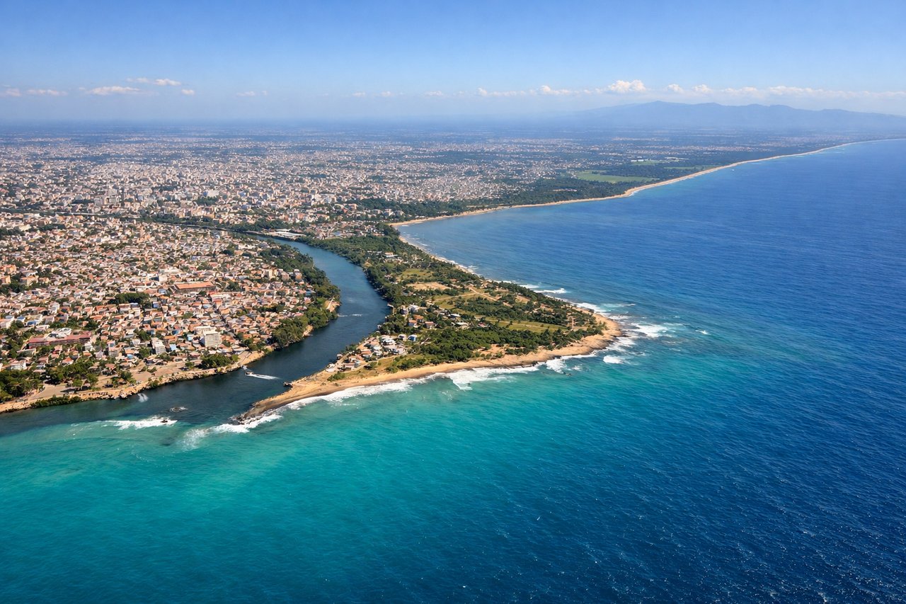
LEFTSDQ uses Runways 01/19 with typical approaches from the north or west. Left-side seats on a westerly approach capture the Caribbean coastline, the Ozama River delta, and Santo Domingo's waterfront development as you descend toward Las Americas.
Will your flight be in sunlight?
Pick a date and time in the Sun Map to watch the sun move across your whole flight.
About This Route
Which side of the plane should I sit on flying from Orlando International (MCO) to Las Americas International (SDQ)?
Sit on the Left side of the plane for the best views on flights from Orlando to Santo Domingo. While takeoff favors the right for Florida's lake system, the landing approach to SDQ strongly favors the left for the Caribbean coastline, river delta, and city waterfront views. Since the landing sequence is typically more visually rewarding and memorable, left wins overall.
What can I see during takeoff from Orlando International in Orlando?
During takeoff from Orlando International (MCO), sit on the Right side for the best views. MCO typically departs eastbound (Runways 17L/R or 18L/R). Right-side seats face south and southeast, capturing the sprawl of greater Orlando and the chain of lakes that define central Florida's geography as you climb out. Notable sights include: Lake Apopka (large freshwater lake west-southwest of MCO), Downtown Orlando skyline (visible as a cluster on the western horizon during climb), Chain of lakes extending south toward Kissimmee (Tohopekaliga and East Lake Tohopekaliga visible as bright water bodies), Florida's flat terrain with scattered development.
What can I see when landing at Las Americas International in Santo Domingo?
When landing at Las Americas International (SDQ), sit on the Left side for the best views. SDQ uses Runways 01/19 with typical approaches from the north or west. Left-side seats on a westerly approach capture the Caribbean coastline, the Ozama River delta, and Santo Domingo's waterfront development as you descend toward Las Americas. Notable sights include: Caribbean Sea (bright turquoise water with visible reef structures and depth variations), Ozama River delta and estuary (muddy brown water contrasting with blue ocean), Santo Domingo waterfront and Ciudad Colonial (historic district visible as dense urban grid along the river), Las Americas runway complex and surrounding flat coastal plain.
How long is the flight from Orlando to Santo Domingo?
The flight from Orlando International (MCO) to Las Americas International (SDQ) takes about 3 hours. The shortest flight path between them is 1,010 miles (1,625 km); winds and air traffic control usually add a few percent.
What does the Orlando to Santo Domingo flight path pass over?
The flight path crosses the Bahamas (Great Bahama Bank visible as shallow turquoise water with visible sand bars and depth variations), then over open Atlantic waters. The Turks and Caicos Islands may be visible on the southern horizon depending on exact routing. The transition from Florida's flat terrain to Caribbean island geography and finally to the Dominican Republic's northern coast and coastal plains is the primary geographic progression.