While takeoff offers brief suburban views, the landing approach provides more sustained and dramatic scenery with the Illinois River and Peoria's geography clearly visible. Left seats capture the river's distinctive meanders and the city's relationship to the landscape.
Flown MDW to PIA? Did we get it right?
Flight Path
Chicago to Peoria is 127 miles (205 km), a flight of about 35 minutes.
Illinois prairie with scattered farmland, occasional tree lines and small towns (Joliet area visible during climb), transition from Chicago metropolitan area to central Illinois agricultural landscape, Des Plaines River valley giving way to open farmland
Great circle distance and headings ›

Phase by phase
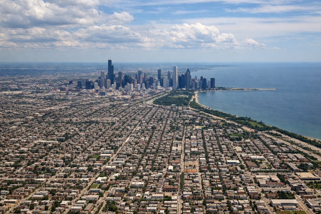
Takeoff from MDW
RIGHTRight-side seats offer views of the Des Plaines River valley and the southwestern Chicago suburbs as the aircraft climbs westward. You'll see the urban grid transition to residential areas and open terrain.
Landing at PIA
LEFTLeft-side seats provide views of the Illinois River and Peoria's downtown riverfront as you descend from the east. The river is a striking landmark and the city's geography is clearly visible against the surrounding farmland.
Will your flight be in sunlight?
Pick a date and time in the Sun Map to watch the sun move across your whole flight.
About This Route
Which side of the plane should I sit on flying from Chicago Midway International (MDW) to General Wayne A. Downing Peoria International Airport (PIA)?
Sit on the Left side of the plane for the best views on flights from Chicago to Peoria. While takeoff offers brief suburban views, the landing approach provides more sustained and dramatic scenery with the Illinois River and Peoria's geography clearly visible. Left seats capture the river's distinctive meanders and the city's relationship to the landscape.
What can I see during takeoff from Chicago Midway International in Chicago?
During takeoff from Chicago Midway International (MDW), sit on the Right side for the best views. Right-side seats offer views of the Des Plaines River valley and the southwestern Chicago suburbs as the aircraft climbs westward. You'll see the urban grid transition to residential areas and open terrain. Notable sights include: Des Plaines River, Chicago's southwest suburbs (Evergreen Park, Oak Lawn), Illinois prairie beginning to open up.
What can I see when landing at General Wayne A. Downing Peoria International Airport in Peoria?
When landing at General Wayne A. Downing Peoria International Airport (PIA), sit on the Left side for the best views. Left-side seats provide views of the Illinois River and Peoria's downtown riverfront as you descend from the east. The river is a striking landmark and the city's geography is clearly visible against the surrounding farmland. Notable sights include: Illinois River, Peoria downtown and riverfront, surrounding agricultural fields, bluffs east of Peoria.
How long is the flight from Chicago to Peoria?
The flight from Chicago Midway International (MDW) to General Wayne A. Downing Peoria International Airport (PIA) takes about 35 minutes. The shortest flight path between them is 127 miles (205 km); winds and air traffic control usually add a few percent.
What does the Chicago to Peoria flight path pass over?
Illinois prairie with scattered farmland, occasional tree lines and small towns (Joliet area visible during climb), transition from Chicago metropolitan area to central Illinois agricultural landscape, Des Plaines River valley giving way to open farmland