Manta to Quito is 170 miles (274 km), a flight of about 1 hour 15 minutes.
While takeoff offers coastal scenery on the right, the landing approach on the left provides the more dramatic and memorable views of Quito's mountain basin and the Andean peaks, which are the visual highlight of this short flight.
Flight Path
Western Cordillera spine running north-south, transition from coastal lowlands to high-altitude intermontane basins, Rio Esmeraldas valley system, cloud formations over the mountain passes, the dramatic elevation gain from sea level to 9,350 feet
Great circle distance and headings ›

Phase by phase
Takeoff from MEC
RIGHTRight-side seats offer views of the Pacific coastline and Manta Bay as you climb out westward, plus the coastal plains and early Andean foothills. Left side faces inland terrain with less dramatic relief during initial climb.
Landing at UIO
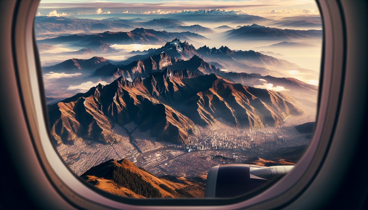
LEFTLeft-side seats provide excellent views of Quito's high-altitude basin, the surrounding Andean peaks, and the approach into the valley. Right side faces away from the city and mountains during descent into the valley.
Landmarks on this routeAll landmarks →
Will your flight be in sunlight?
Pick a date and time in the Sun Map to watch the sun move across your whole flight.
About This Route
Which side of the plane should I sit on flying from Eloy Alfaro International (MEC) to Mariscal Sucre International Airport (UIO)?
Sit on the Left side of the plane for the best views on flights from Manta to Quito. While takeoff offers coastal scenery on the right, the landing approach on the left provides the more dramatic and memorable views of Quito's mountain basin and the Andean peaks, which are the visual highlight of this short flight.
What can I see during takeoff from Eloy Alfaro International in Manta?
During takeoff from Eloy Alfaro International (MEC), sit on the Right side for the best views. Right-side seats offer views of the Pacific coastline and Manta Bay as you climb out westward, plus the coastal plains and early Andean foothills. Left side faces inland terrain with less dramatic relief during initial climb. Notable sights include: Pacific Ocean and Manta Bay, Coastal plains of Manabí Province, Western Cordillera foothills, Rio Manta valley.
What can I see when landing at Mariscal Sucre International Airport in Quito?
When landing at Mariscal Sucre International Airport (UIO), sit on the Left side for the best views. Left-side seats provide excellent views of Quito's high-altitude basin, the surrounding Andean peaks, and the approach into the valley. Right side faces away from the city and mountains during descent into the valley. Notable sights include: Pichincha volcanic complex, Quito city in its mountain basin, Eastern Cordillera ridgelines, Mariscal Sucre Airport approach valley.
How long is the flight from Manta to Quito?
The flight from Eloy Alfaro International (MEC) to Mariscal Sucre International Airport (UIO) takes about 1 hour 15 minutes. The shortest flight path between them is 170 miles (274 km); winds and air traffic control usually add a few percent.
What does the Manta to Quito flight path pass over?
Western Cordillera spine running north-south, transition from coastal lowlands to high-altitude intermontane basins, Rio Esmeraldas valley system, cloud formations over the mountain passes, the dramatic elevation gain from sea level to 9,350 feet