Right side scores higher due to the superior landing approach over the Potomac River and Washington D.C. skyline, plus views of the Blue Ridge Mountains. While left side offers White Mountains during takeoff, the overall flight path from New Hampshire to Virginia favors the right side's access to the nation's capital and more dramatic Appalachian terrain during descent. The landing experience significantly outweighs the modest takeoff advantage.
Flown MHT to IAD? Did we get it right?
Flight Path
Manchester to Washington is 418 miles (672 km), a flight of about 1 hour 50 minutes.
Hudson River valley (New York), Delaware River, Appalachian ridges of Pennsylvania and Maryland, Shenandoah Valley (distant western views), Potomac River drainage basin
Great circle distance and headings ›

Phase by phase
Takeoff from MHT
LEFTManchester airport sits in southern New Hampshire with the White Mountains visible to the northwest during climb-out. Left side captures the Merrimack River valley and early views toward the Green Mountains of Vermont. Right side faces inland toward flat central Massachusetts with minimal terrain drama.
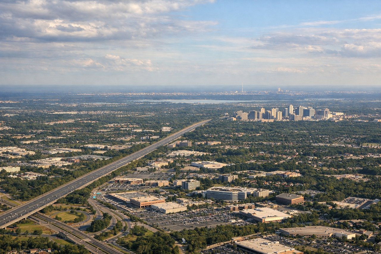
Landing at IAD
RIGHTApproach to Dulles from the northeast descends over the Piedmont region with views of the Potomac River, Washington D.C. skyline, and the Blue Ridge Mountains on the western horizon. Right side faces southwest toward the city and mountains. Left side shows the Shenandoah Valley and ridge-and-valley terrain but is more distant and less dramatic during final approach.
Will your flight be in sunlight?
Pick a date and time in the Sun Map to watch the sun move across your whole flight.
About This Route
Which side of the plane should I sit on flying from Manchester-Boston Regional Airport (MHT) to Washington Dulles International (IAD)?
Sit on the Right side of the plane for the best views on flights from Manchester to Washington. Right side scores higher due to the superior landing approach over the Potomac River and Washington D.C. skyline, plus views of the Blue Ridge Mountains. While left side offers White Mountains during takeoff, the overall flight path from New Hampshire to Virginia favors the right side's access to the nation's capital and more dramatic Appalachian terrain during descent. The landing experience significantly outweighs the modest takeoff advantage.
What can I see during takeoff from Manchester-Boston Regional Airport in Manchester?
During takeoff from Manchester-Boston Regional Airport (MHT), sit on the Left side for the best views. Manchester airport sits in southern New Hampshire with the White Mountains visible to the northwest during climb-out. Left side captures the Merrimack River valley and early views toward the Green Mountains of Vermont. Right side faces inland toward flat central Massachusetts with minimal terrain drama. Notable sights include: White Mountains (distant northwest), Merrimack River valley, Lake Winnipesaukee (visible on clear days), Green Mountains of Vermont.
What can I see when landing at Washington Dulles International in Washington?
When landing at Washington Dulles International (IAD), sit on the Right side for the best views. Approach to Dulles from the northeast descends over the Piedmont region with views of the Potomac River, Washington D.C. skyline, and the Blue Ridge Mountains on the western horizon. Right side faces southwest toward the city and mountains. Left side shows the Shenandoah Valley and ridge-and-valley terrain but is more distant and less dramatic during final approach. Notable sights include: Potomac River, Washington D.C. skyline and monuments, Blue Ridge Mountains, Dulles Airport grounds and surrounding Loudoun County.
How long is the flight from Manchester to Washington?
The flight from Manchester-Boston Regional Airport (MHT) to Washington Dulles International (IAD) takes about 1 hour 50 minutes. The shortest flight path between them is 418 miles (672 km); winds and air traffic control usually add a few percent.
What does the Manchester to Washington flight path pass over?
Hudson River valley (New York), Delaware River, Appalachian ridges of Pennsylvania and Maryland, Shenandoah Valley (distant western views), Potomac River drainage basin