Manila to Doha is 4,525 miles (7,282 km), a flight of about 9 hours 45 minutes.
The northward bulge of the great-circle route carries the flight over more varied and dramatic terrain on the right side—Vietnam's coastal hills, the Yunnan-Myanmar highlands, and the Himalayan foothills near Nepal and Bhutan—while the left side spends more hours over the open water of the Bay of Bengal and Arabian Sea.
Flight Path
South China Sea coast of Vietnam, Yunnan-Myanmar highlands, Himalayan foothills near Nepal/Bhutan, Ganges Delta and Indo-Gangetic plain, Thar Desert, Arabian Sea, Persian Gulf approach to Qatar
Great circle distance and headings ›.jpg?width=600)

_and_the_Dubai_skyline_(25781049892).jpg?width=600)

Phase by phase
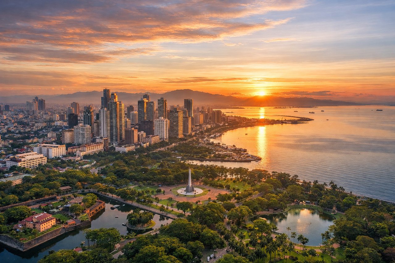
Takeoff from MNL
RIGHTDeparting NAIA, the climb-out and turn toward the northwest put Manila's dense skyline and the Sierra Madre foothills on the right side, while the left mostly shows the flat expanse of Manila Bay and Cavite lowlands.
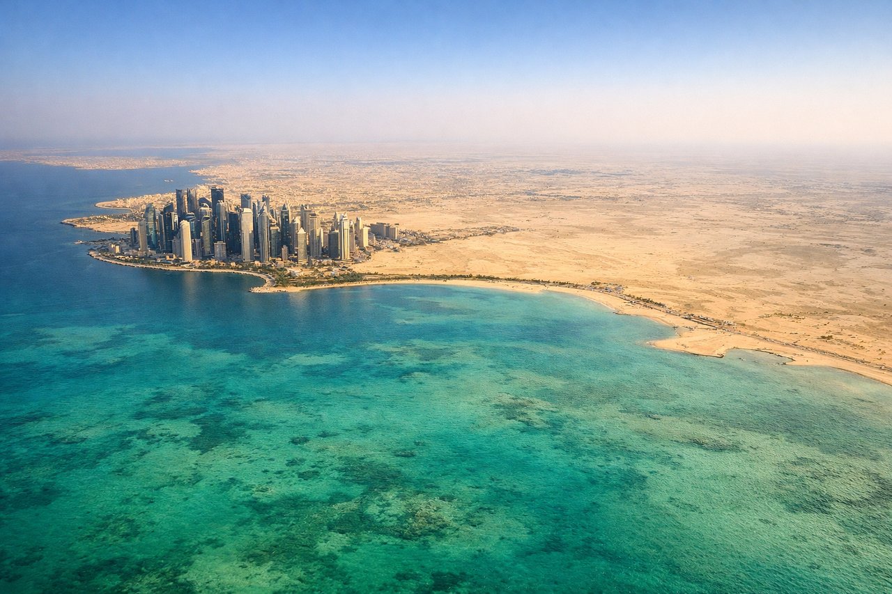
Landing at DOH
LEFTOn approach into Doha from the northeast, the turn onto final for the southeast-facing runway swings the aircraft south, putting the West Bay skyline and the Corniche waterfront on the left side just before touchdown.
Landmarks on this routeAll landmarks →
Will your flight be in sunlight?
Pick a date and time in the Sun Map to watch the sun move across your whole flight.
About This Route
Which side of the plane should I sit on flying from Ninoy Aquino International (MNL) to Hamad International Airport (DOH)?
Sit on the Right side of the plane for the best views on flights from Manila to Doha. The northward bulge of the great-circle route carries the flight over more varied and dramatic terrain on the right side—Vietnam's coastal hills, the Yunnan-Myanmar highlands, and the Himalayan foothills near Nepal and Bhutan—while the left side spends more hours over the open water of the Bay of Bengal and Arabian Sea.
What can I see during takeoff from Ninoy Aquino International in Manila?
During takeoff from Ninoy Aquino International (MNL), sit on the Right side for the best views. Departing NAIA, the climb-out and turn toward the northwest put Manila's dense skyline and the Sierra Madre foothills on the right side, while the left mostly shows the flat expanse of Manila Bay and Cavite lowlands. Notable sights include: Manila skyline, Pasig River mouth, Sierra Madre foothills, Manila Bay shoreline.
What can I see when landing at Hamad International Airport in Doha?
When landing at Hamad International Airport (DOH), sit on the Left side for the best views. On approach into Doha from the northeast, the turn onto final for the southeast-facing runway swings the aircraft south, putting the West Bay skyline and the Corniche waterfront on the left side just before touchdown. Notable sights include: Doha West Bay skyline, The Pearl-Qatar island, Doha Corniche, Persian Gulf coastline.
How long is the flight from Manila to Doha?
The flight from Ninoy Aquino International (MNL) to Hamad International Airport (DOH) takes about 9 hours 45 minutes. The shortest flight path between them is 4,525 miles (7,282 km); winds and air traffic control usually add a few percent.
What does the Manila to Doha flight path pass over?
South China Sea coast of Vietnam, Yunnan-Myanmar highlands, Himalayan foothills near Nepal/Bhutan, Ganges Delta and Indo-Gangetic plain, Thar Desert, Arabian Sea, Persian Gulf approach to Qatar