Both sides spend most of the roughly 12-hour crossing over open North Pacific water with little to see, but the right side gets the more distinctive bookends: Laguna de Bay and the Sierra Madre foothills on departure, and the dramatic Golden Gate Bridge, Marin Headlands, and San Francisco skyline on arrival.
Flight Path
The route crosses the North Pacific Ocean well east of Japan and south of the Aleutian Islands, an area of open water with no visible land for several hours before the descent toward the California coast.
Great circle distance and headings ›Phase by phase
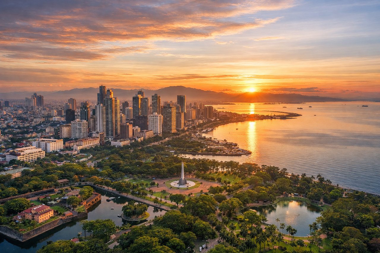
Takeoff from MNL
RIGHTDeparting NAIA on runway 06 (the more commonly used direction outside the habagat season), the initial climb tracks northeast, putting Laguna de Bay's wide lake and the forested foothills of the Sierra Madre range on the right side, while the left side mostly shows the flatter Manila Bay shoreline receding behind haze.
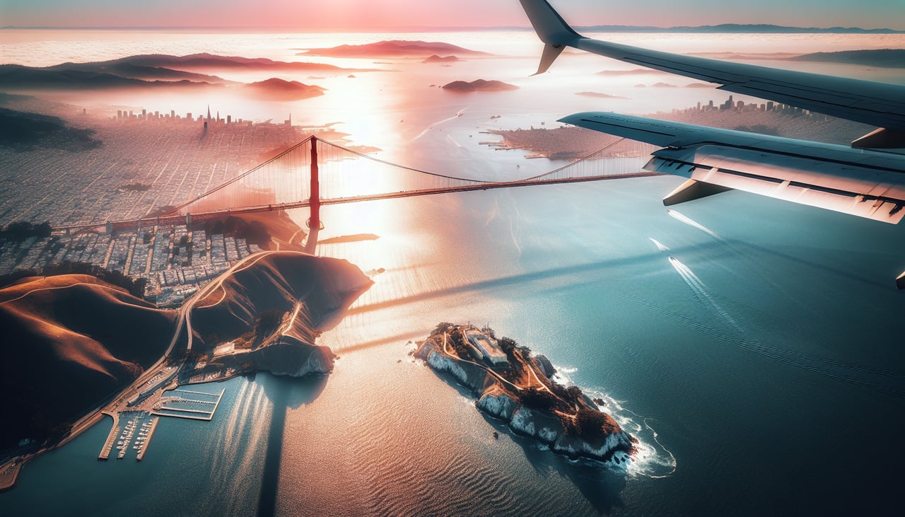
Landing at SFO
RIGHTArriving from the north-northwest along the California coast, the final descent into SFO's north-south runways brings Point Reyes, the Marin Headlands, and the Golden Gate Bridge into view on the right side just before the turn over the Bay, while the left side mostly faces open ocean.
Landmarks on this routeAll landmarks →
Will your flight be in sunlight?
See exactly which side of the plane gets sun and shade at your departure time.
About This Route
Which side of the plane should I sit on flying from Ninoy Aquino International (MNL) to San Francisco International (SFO)?
Sit on the Right side of the plane for the best views on flights from Manila to San Francisco. Both sides spend most of the roughly 12-hour crossing over open North Pacific water with little to see, but the right side gets the more distinctive bookends: Laguna de Bay and the Sierra Madre foothills on departure, and the dramatic Golden Gate Bridge, Marin Headlands, and San Francisco skyline on arrival.
What can I see during takeoff from Ninoy Aquino International in Manila?
During takeoff from Ninoy Aquino International (MNL), sit on the Right side for the best views. Departing NAIA on runway 06 (the more commonly used direction outside the habagat season), the initial climb tracks northeast, putting Laguna de Bay's wide lake and the forested foothills of the Sierra Madre range on the right side, while the left side mostly shows the flatter Manila Bay shoreline receding behind haze. Notable sights include: Laguna de Bay, Sierra Madre mountain foothills, Antipolo ridgeline, Metro Manila's eastern suburbs.
What can I see when landing at San Francisco International in San Francisco?
When landing at San Francisco International (SFO), sit on the Right side for the best views. Arriving from the north-northwest along the California coast, the final descent into SFO's north-south runways brings Point Reyes, the Marin Headlands, and the Golden Gate Bridge into view on the right side just before the turn over the Bay, while the left side mostly faces open ocean. Notable sights include: Point Reyes headlands, Marin Headlands, Golden Gate Bridge, San Francisco skyline.
How long is the flight from Manila to San Francisco?
The flight from Ninoy Aquino International (MNL) to San Francisco International (SFO) takes 12h 45m.
What does the Manila to San Francisco flight path pass over?
The route crosses the North Pacific Ocean well east of Japan and south of the Aleutian Islands, an area of open water with no visible land for several hours before the descent toward the California coast.