Manila to New York is 8,510 miles (13,696 km), a flight of about 15 hours 45 minutes.
While the takeoff briefly favors the left with Manila Bay, the right side wins overall thanks to a long cruise phase over the Pacific coastlines of Japan, the Bering Sea, Alaska's mountainous terrain, and the Canadian Arctic, followed by a scenic Manhattan-facing approach into JFK.
Flight Path
Route passes near Japan's eastern coastline, over the Bering Sea, along Alaska's southern coast near the Alaska Range, and across the Canadian Arctic and Hudson Bay region before descending toward the northeastern United States.
Great circle distance and headings ›
.jpeg?width=600)
.jpg?width=600)
Phase by phase
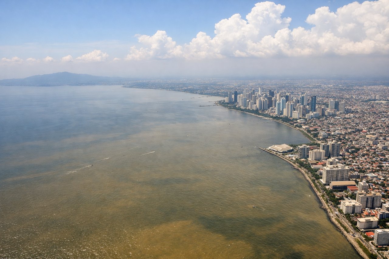
Takeoff from MNL
LEFTDeparting NAIA, the left side typically offers a view of Manila Bay and the city skyline as the aircraft climbs out over the coast, giving a brief but recognizable urban and water panorama before the long overwater climb.
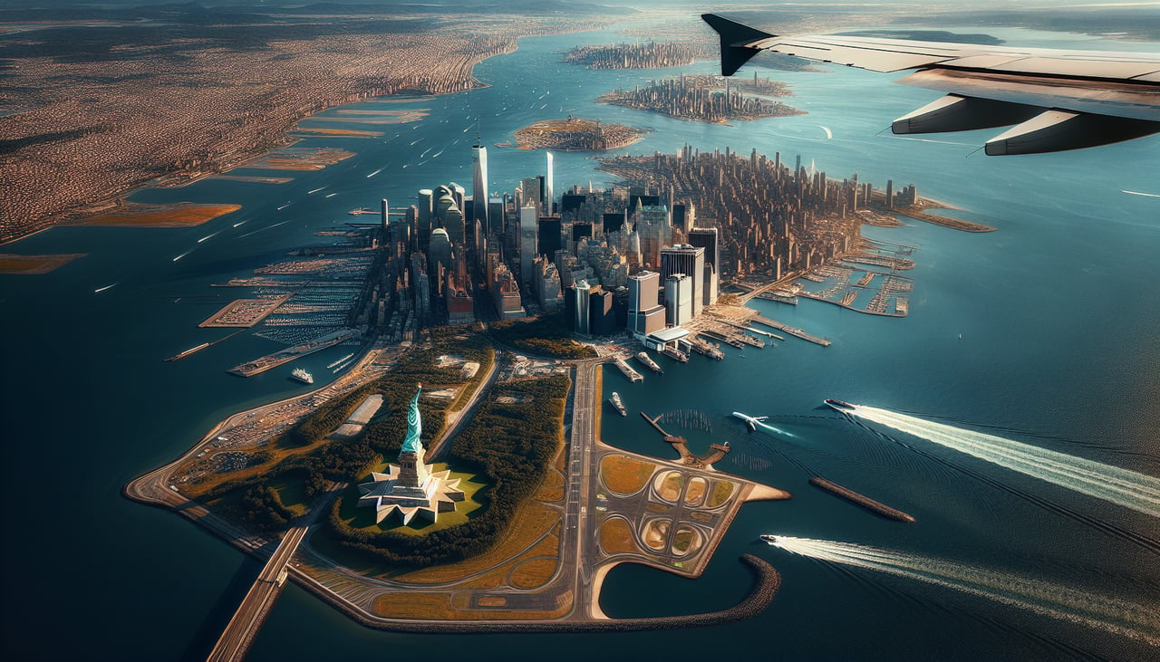
Landing at JFK
RIGHTOn approach into JFK from the northeast, the right side of the aircraft often faces west toward Manhattan and Long Island Sound, giving passengers a dramatic final look at the NYC skyline and coastline before touchdown.
Landmarks on this routeAll landmarks →
Will your flight be in sunlight?
Pick a date and time in the Sun Map to watch the sun move across your whole flight.
About This Route
Which side of the plane should I sit on flying from Ninoy Aquino International (MNL) to John F Kennedy International (JFK)?
Sit on the Right side of the plane for the best views on flights from Manila to New York. While the takeoff briefly favors the left with Manila Bay, the right side wins overall thanks to a long cruise phase over the Pacific coastlines of Japan, the Bering Sea, Alaska's mountainous terrain, and the Canadian Arctic, followed by a scenic Manhattan-facing approach into JFK.
What can I see during takeoff from Ninoy Aquino International in Manila?
During takeoff from Ninoy Aquino International (MNL), sit on the Left side for the best views. Departing NAIA, the left side typically offers a view of Manila Bay and the city skyline as the aircraft climbs out over the coast, giving a brief but recognizable urban and water panorama before the long overwater climb. Notable sights include: Manila Bay, Manila skyline, Corregidor Island silhouette, Bataan Peninsula coastline.
What can I see when landing at John F Kennedy International in New York?
When landing at John F Kennedy International (JFK), sit on the Right side for the best views. On approach into JFK from the northeast, the right side of the aircraft often faces west toward Manhattan and Long Island Sound, giving passengers a dramatic final look at the NYC skyline and coastline before touchdown. Notable sights include: Manhattan skyline, Long Island Sound, Jamaica Bay wetlands, Rockaway Peninsula.
How long is the flight from Manila to New York?
The flight from Ninoy Aquino International (MNL) to John F Kennedy International (JFK) takes about 15 hours 45 minutes. The shortest flight path between them is 8,510 miles (13,696 km); winds and air traffic control usually add a few percent.
What does the Manila to New York flight path pass over?
Route passes near Japan's eastern coastline, over the Bering Sea, along Alaska's southern coast near the Alaska Range, and across the Canadian Arctic and Hudson Bay region before descending toward the northeastern United States.