Manila to Tacloban is 352 miles (567 km), a flight of about 1 hour 20 minutes.
The left side offers a more varied and dramatic sequence: glimpses of the Bicol peninsula's volcanic terrain during cruise, followed by the San Juanico Strait and Leyte Gulf on approach, giving it the edge over the right side's mostly open-water and flatter coastal views.
Flight Path
Sibuyan Sea, Ticao Pass, northern Samar coastline, San Bernardino Strait
Great circle distance and headings ›Phase by phase
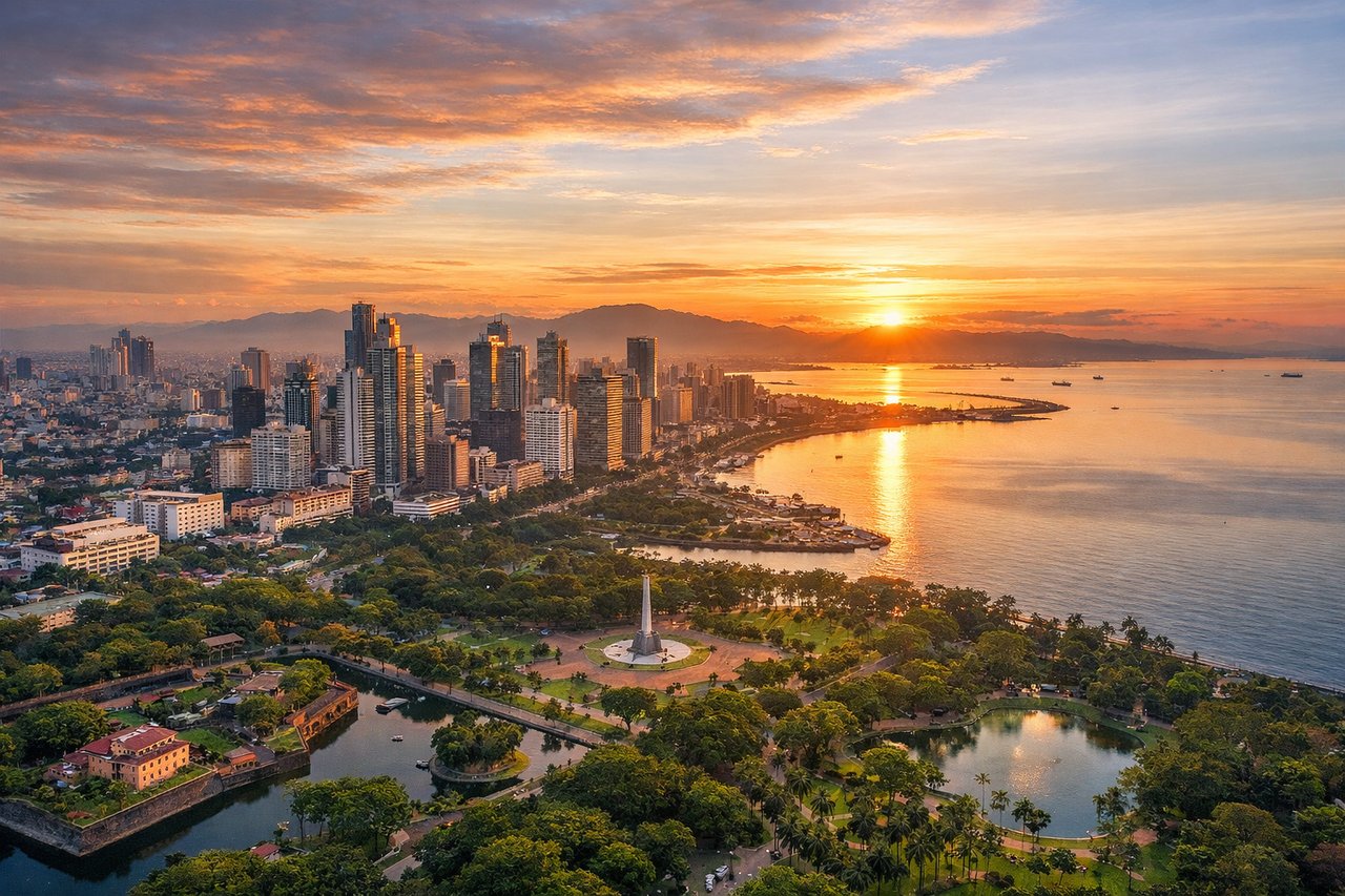
Takeoff from MNL
RIGHTAs the aircraft lifts off from NAIA and banks to line up on the southeast heading toward Tacloban, the right-side windows catch Manila Bay's wide curve and the Cavite coastline, with the city's dense skyline receding behind. It's a brief but distinctive urban-coastal view before the plane settles into cruise.
Landing at TAC
LEFTOn approach into Tacloban's runway 36, the aircraft descends from the north over Leyte's coastline, giving left-side passengers a clear view of the San Juanico Strait separating Samar and Leyte, along with the waters of Leyte Gulf opening up beyond the city. It's a striking strait-and-gulf combination rarely seen elsewhere in the Philippines.
Will your flight be in sunlight?
Pick a date and time in the Sun Map to watch the sun move across your whole flight.
About This Route
Which side of the plane should I sit on flying from Ninoy Aquino International (MNL) to Daniel Z Romualdez (TAC)?
Sit on the Left side of the plane for the best views on flights from Manila to Tacloban. The left side offers a more varied and dramatic sequence: glimpses of the Bicol peninsula's volcanic terrain during cruise, followed by the San Juanico Strait and Leyte Gulf on approach, giving it the edge over the right side's mostly open-water and flatter coastal views.
What can I see during takeoff from Ninoy Aquino International in Manila?
During takeoff from Ninoy Aquino International (MNL), sit on the Right side for the best views. As the aircraft lifts off from NAIA and banks to line up on the southeast heading toward Tacloban, the right-side windows catch Manila Bay's wide curve and the Cavite coastline, with the city's dense skyline receding behind. It's a brief but distinctive urban-coastal view before the plane settles into cruise. Notable sights include: Manila Bay, Cavite coastline, Metro Manila skyline, Sangley Point.
What can I see when landing at Daniel Z Romualdez in Tacloban?
When landing at Daniel Z Romualdez (TAC), sit on the Left side for the best views. On approach into Tacloban's runway 36, the aircraft descends from the north over Leyte's coastline, giving left-side passengers a clear view of the San Juanico Strait separating Samar and Leyte, along with the waters of Leyte Gulf opening up beyond the city. It's a striking strait-and-gulf combination rarely seen elsewhere in the Philippines. Notable sights include: San Juanico Strait, Samar Island coastline, Leyte Gulf, Cancabato Bay.
How long is the flight from Manila to Tacloban?
The flight from Ninoy Aquino International (MNL) to Daniel Z Romualdez (TAC) takes about 1 hour 20 minutes. The shortest flight path between them is 352 miles (567 km); winds and air traffic control usually add a few percent.
What does the Manila to Tacloban flight path pass over?
Sibuyan Sea, Ticao Pass, northern Samar coastline, San Bernardino Strait