The left side wins overall primarily because of the spectacular Canadian Rockies on approach into Calgary, which is one of the most dramatic mountain arrival views in North America. The right side has the better Manila departure, but the Rockies view on the left at landing tips the balance. On the long transpacific cruise, neither side has a decisive advantage — you are over open Pacific and then Alaska/Yukon wilderness — but left-side passengers may catch glimpses of the Alaska Range and coastal ranges during the descent into Canada.
Flown MNL to YYC? Did we get it right?
Flight Path
Manila to Calgary is 6,828 miles (10,988 km), a flight of about 13 hours.
The great circle route arcs north over the Philippine Sea, then the western North Pacific, passing south of the Kamchatka Peninsula and the Aleutian Island chain (occasionally visible as dark volcanic islands in the grey Pacific). The route then crosses the Gulf of Alaska and the Alaska panhandle, where the St. Elias Mountains and Wrangell-St. Elias peaks — some of the highest in North America — may be visible below. Over the Yukon and northern British Columbia, the boreal forest and braided glacial river systems of the Liard and Peace River drainages stretch endlessly below before the terrain flattens into the Alberta prairie on descent into Calgary.
Great circle distance and headings ›


Phase by phase
Takeoff from MNL
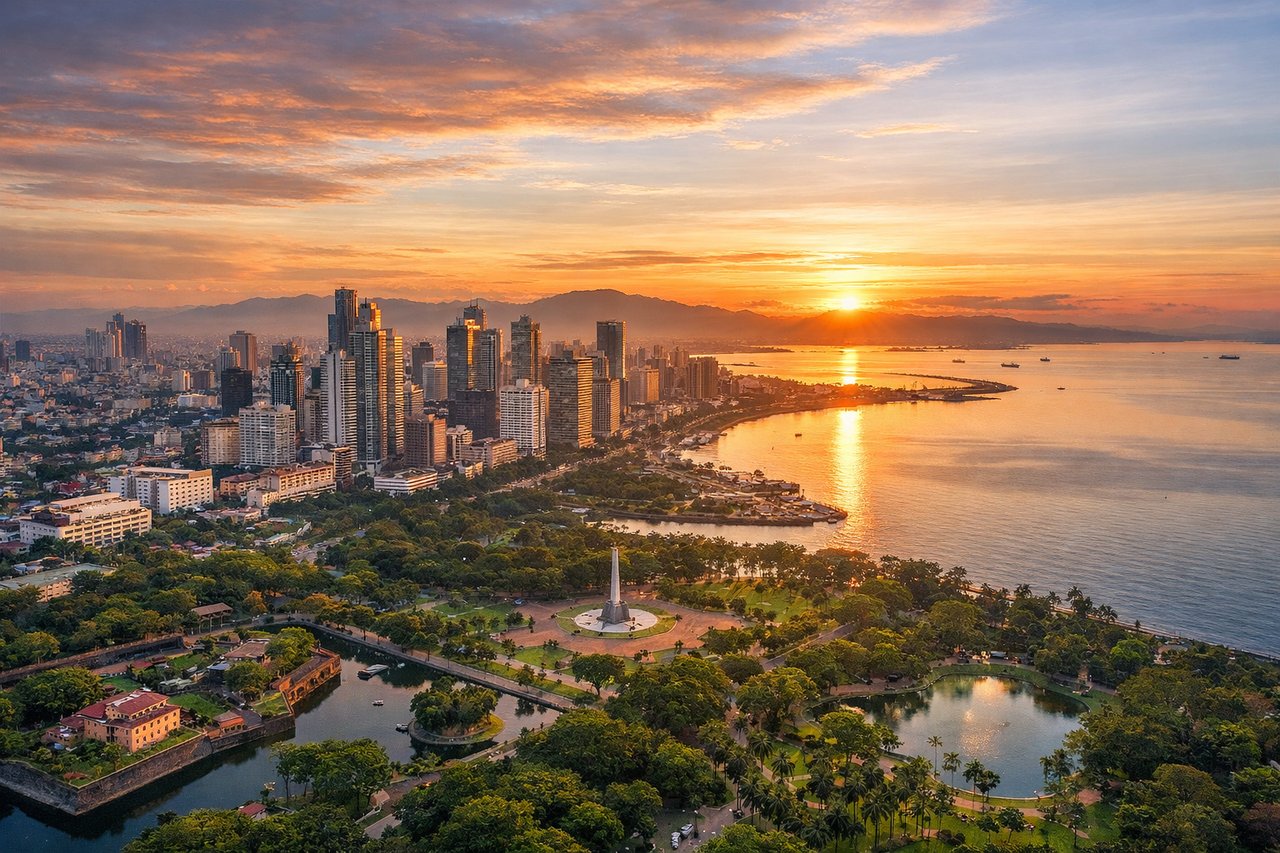
RIGHTNAIA's primary departure runway 06 sends aircraft northeast over Manila Bay on the left, but the right side gives you a clear view of Metro Manila's dense urban grid, the Pasig River winding through the city, and Laguna de Bay — the largest lake in the Philippines — coming into view as you climb out. Runway 24 departures heading southwest still favor the right for Laguna de Bay before the turn north.
Landing at YYC
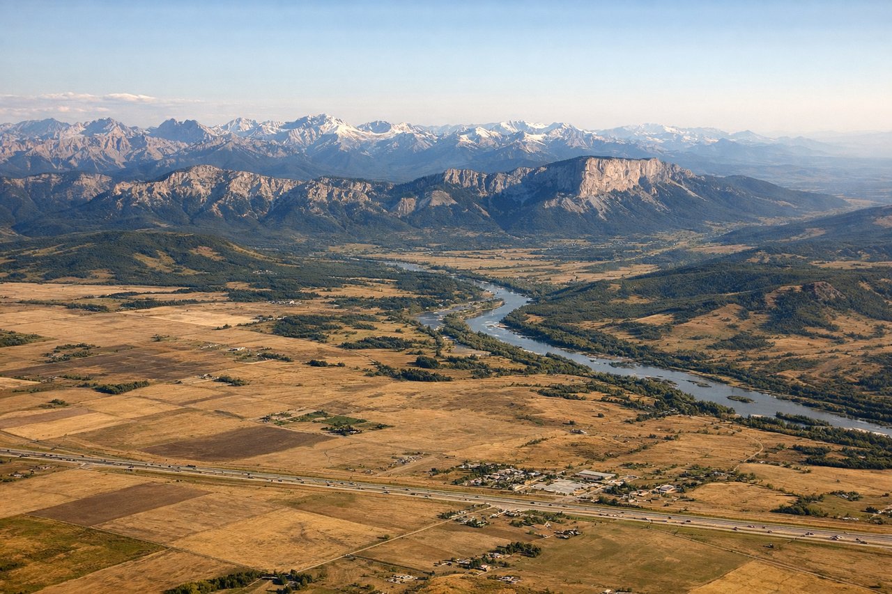
LEFTCalgary International's primary arrival runway 35L/35R brings aircraft in from the south heading north, placing the Canadian Rockies — including the front ranges visible from Banff and Kananaskis — on the left (west) side. The Rocky Mountain wall is unmistakable on approach, with the flat prairie grid of Calgary spreading out ahead and to the right.
Will your flight be in sunlight?
Pick a date and time in the Sun Map to watch the sun move across your whole flight.
About This Route
Which side of the plane should I sit on flying from Ninoy Aquino International (MNL) to Calgary International (YYC)?
Sit on the Left side of the plane for the best views on flights from Manila to Calgary. The left side wins overall primarily because of the spectacular Canadian Rockies on approach into Calgary, which is one of the most dramatic mountain arrival views in North America. The right side has the better Manila departure, but the Rockies view on the left at landing tips the balance. On the long transpacific cruise, neither side has a decisive advantage — you are over open Pacific and then Alaska/Yukon wilderness — but left-side passengers may catch glimpses of the Alaska Range and coastal ranges during the descent into Canada.
What can I see during takeoff from Ninoy Aquino International in Manila?
During takeoff from Ninoy Aquino International (MNL), sit on the Right side for the best views. NAIA's primary departure runway 06 sends aircraft northeast over Manila Bay on the left, but the right side gives you a clear view of Metro Manila's dense urban grid, the Pasig River winding through the city, and Laguna de Bay — the largest lake in the Philippines — coming into view as you climb out. Runway 24 departures heading southwest still favor the right for Laguna de Bay before the turn north. Notable sights include: Laguna de Bay (massive freshwater lake southeast of Manila), Pasig River delta, Metro Manila urban grid including Makati CBD towers, Manila Bay shoreline receding behind.
What can I see when landing at Calgary International in Calgary?
When landing at Calgary International (YYC), sit on the Left side for the best views. Calgary International's primary arrival runway 35L/35R brings aircraft in from the south heading north, placing the Canadian Rockies — including the front ranges visible from Banff and Kananaskis — on the left (west) side. The Rocky Mountain wall is unmistakable on approach, with the flat prairie grid of Calgary spreading out ahead and to the right. Notable sights include: Canadian Rockies front ranges (Kananaskis and Banff area peaks), Bow River valley cutting through Calgary, downtown Calgary skyline, flat Alberta prairie grid extending east.
How long is the flight from Manila to Calgary?
The flight from Ninoy Aquino International (MNL) to Calgary International (YYC) takes about 13 hours. The shortest flight path between them is 6,828 miles (10,988 km); winds and air traffic control usually add a few percent.
What does the Manila to Calgary flight path pass over?
The great circle route arcs north over the Philippine Sea, then the western North Pacific, passing south of the Kamchatka Peninsula and the Aleutian Island chain (occasionally visible as dark volcanic islands in the grey Pacific). The route then crosses the Gulf of Alaska and the Alaska panhandle, where the St. Elias Mountains and Wrangell-St. Elias peaks — some of the highest in North America — may be visible below. Over the Yukon and northern British Columbia, the boreal forest and braided glacial river systems of the Liard and Peace River drainages stretch endlessly below before the terrain flattens into the Alberta prairie on descent into Calgary.