The right side delivers stronger terrain drama across the flight — Ise Bay and the Japan Alps at takeoff, then the Ou Mountains running up through Tohoku during cruise — while the left side's Sea of Japan coastline is scenic but flatter and less varied until the volcanic landing sequence.
Flight Path
Sea of Japan coastline near Niigata and Sado Island to the west, the Ou Mountain Range running through Tohoku to the east, and the Tsugaru Strait separating Honshu from Hokkaido
Great circle distance and headings ›Phase by phase
Takeoff from NGO
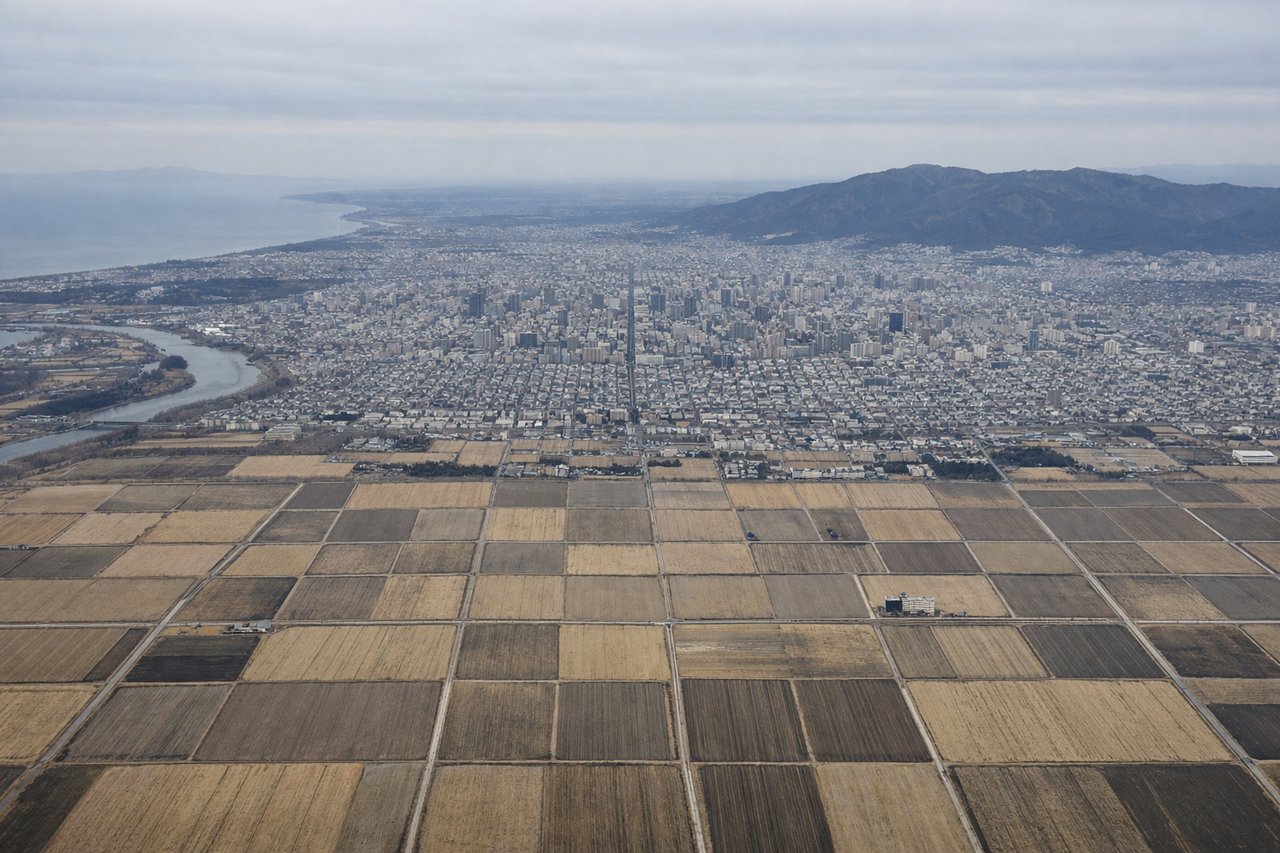
RIGHTDeparting NGO to the north, the right side offers a view back over Ise Bay's coastline and, as the aircraft climbs, the jagged profile of the Japan Alps (Hida Mountains) rising inland to the east. The left side mostly shows flatter Nobi Plain farmland with less visual drama.
Landing at CTS
LEFTOn approach into Chitose from the south, the left (west) side reveals the volcanic peaks of Shikotsu-Toya National Park, including Mount Yotei's distinctive cone and Mount Tarumae, along with the deep blue caldera lake Shikotsu. The right side mainly shows the flatter Tomakomai industrial coastline along the Pacific.
Will your flight be in sunlight?
See exactly which side of the plane gets sun and shade at your departure time.
About This Route
Which side of the plane should I sit on flying from Chubu Centrair International Airport (NGO) to Chitose International Airport (CTS)?
Sit on the Right side of the plane for the best views on flights from Nagoya to Sapporo. The right side delivers stronger terrain drama across the flight — Ise Bay and the Japan Alps at takeoff, then the Ou Mountains running up through Tohoku during cruise — while the left side's Sea of Japan coastline is scenic but flatter and less varied until the volcanic landing sequence.
What can I see during takeoff from Chubu Centrair International Airport in Nagoya?
During takeoff from Chubu Centrair International Airport (NGO), sit on the Right side for the best views. Departing NGO to the north, the right side offers a view back over Ise Bay's coastline and, as the aircraft climbs, the jagged profile of the Japan Alps (Hida Mountains) rising inland to the east. The left side mostly shows flatter Nobi Plain farmland with less visual drama. Notable sights include: Ise Bay, Nagoya port, Hida Mountains (Japan Alps), Nobi Plain.
What can I see when landing at Chitose International Airport in Sapporo?
When landing at Chitose International Airport (CTS), sit on the Left side for the best views. On approach into Chitose from the south, the left (west) side reveals the volcanic peaks of Shikotsu-Toya National Park, including Mount Yotei's distinctive cone and Mount Tarumae, along with the deep blue caldera lake Shikotsu. The right side mainly shows the flatter Tomakomai industrial coastline along the Pacific. Notable sights include: Mount Yotei, Mount Tarumae, Lake Shikotsu, Ishikari Plain.
How long is the flight from Nagoya to Sapporo?
The flight from Chubu Centrair International Airport (NGO) to Chitose International Airport (CTS) takes 1h 50m.
What does the Nagoya to Sapporo flight path pass over?
Sea of Japan coastline near Niigata and Sado Island to the west, the Ou Mountain Range running through Tohoku to the east, and the Tsugaru Strait separating Honshu from Hokkaido