Right side captures the dramatic Cascade volcanic peaks during climb-out, which is the most visually striking portion of this route. While the landing approach on the left offers valley views, the takeoff scenery is more distinctive and memorable.
Flown PDX to IDA? Did we get it right?
Flight Path
Portland to Idaho Falls is 537 miles (865 km), a flight of about 1 hour 15 minutes.
Blue Lake (small alpine lake in the Cascades), Deschutes River canyon (visible as a linear feature cutting through central Oregon), High Desert plateau terrain east of the Cascades, Wallowa Mountains (distant northeastern Oregon), and the transition from forested western Oregon to the arid interior basin
Great circle distance and headings ›Phase by phase
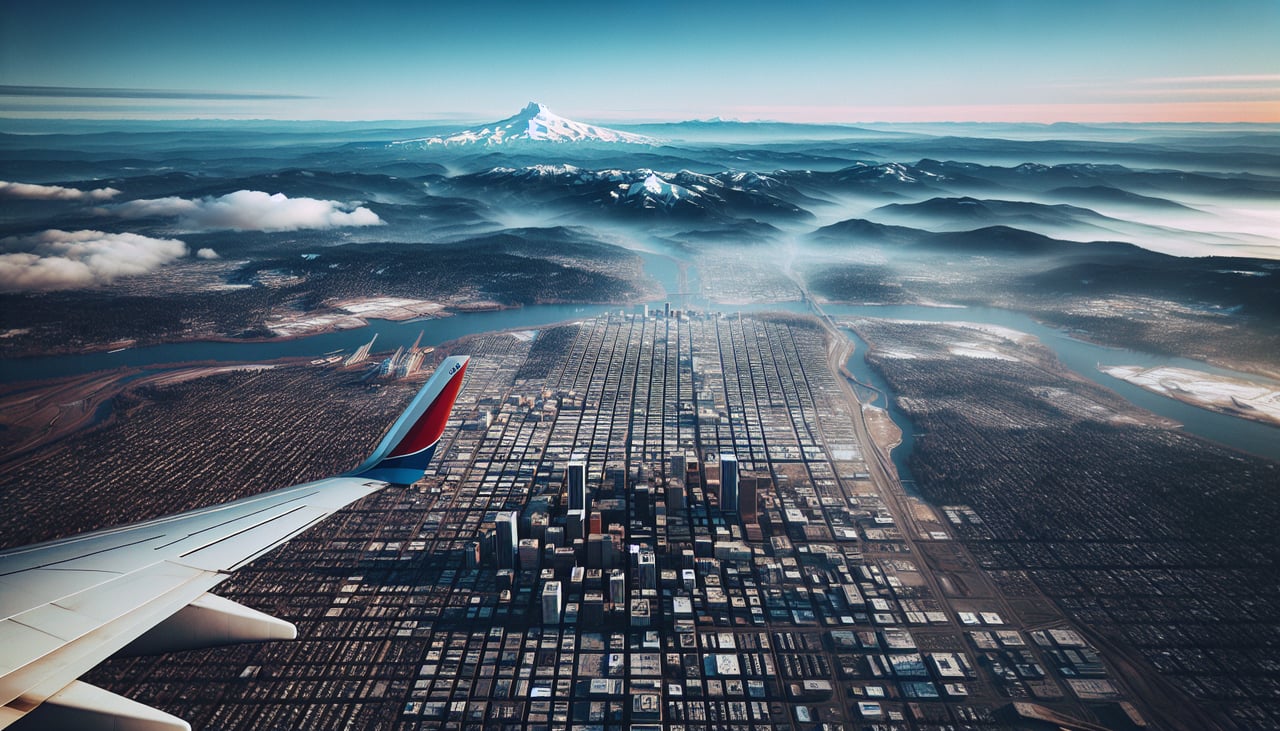
Takeoff from PDX
RIGHTRight side offers immediate views of the Cascade Range as the aircraft climbs eastbound. You'll see Mount Hood and the volcanic peaks that dominate the landscape immediately after departure.
Landing at IDA
LEFTLeft side provides views of the Snake River Plain and the approach to Idaho Falls from the west. You'll see the river valley and the city itself as you descend, plus the distant Teton Range on the horizon.
Will your flight be in sunlight?
Pick a date and time in the Sun Map to watch the sun move across your whole flight.
About This Route
Which side of the plane should I sit on flying from Portland International (PDX) to Idaho Falls Regional Airport (IDA)?
Sit on the Right side of the plane for the best views on flights from Portland to Idaho Falls. Right side captures the dramatic Cascade volcanic peaks during climb-out, which is the most visually striking portion of this route. While the landing approach on the left offers valley views, the takeoff scenery is more distinctive and memorable.
What can I see during takeoff from Portland International in Portland?
During takeoff from Portland International (PDX), sit on the Right side for the best views. Right side offers immediate views of the Cascade Range as the aircraft climbs eastbound. You'll see Mount Hood and the volcanic peaks that dominate the landscape immediately after departure. Notable sights include: Mount Hood (11,240 ft, ~50 miles southeast), Cascade Range volcanic chain, Willamette Valley floor, Columbia River gorge to the north.
What can I see when landing at Idaho Falls Regional Airport in Idaho Falls?
When landing at Idaho Falls Regional Airport (IDA), sit on the Left side for the best views. Left side provides views of the Snake River Plain and the approach to Idaho Falls from the west. You'll see the river valley and the city itself as you descend, plus the distant Teton Range on the horizon. Notable sights include: Snake River Plain (wide agricultural valley), Teton Range (distant northern horizon), Idaho Falls city grid, Henry's Fork confluence area.
How long is the flight from Portland to Idaho Falls?
The flight from Portland International (PDX) to Idaho Falls Regional Airport (IDA) takes about 1 hour 15 minutes. The shortest flight path between them is 537 miles (865 km); winds and air traffic control usually add a few percent.
What does the Portland to Idaho Falls flight path pass over?
Blue Lake (small alpine lake in the Cascades), Deschutes River canyon (visible as a linear feature cutting through central Oregon), High Desert plateau terrain east of the Cascades, Wallowa Mountains (distant northeastern Oregon), and the transition from forested western Oregon to the arid interior basin