The left side wins overall thanks to the Tian Shan and Pamir ranges crossed during cruise over Central Asia, the Zagros Mountains near Iran-Iraq, and the pyramid/Nile view on final approach into Cairo — all visible to the south of the flight path.
Flown PEK to CAI? Did we get it right?
Flight Path
Beijing to Cairo is 4,682 miles (7,535 km), a flight of about 9 hours 55 minutes.
Tian Shan mountains and Taklamakan Desert in Xinjiang, the Pamir Knot along the Tajikistan-Afghanistan border, and the Zagros Mountains of western Iran
Great circle distance and headings ›


Phase by phase
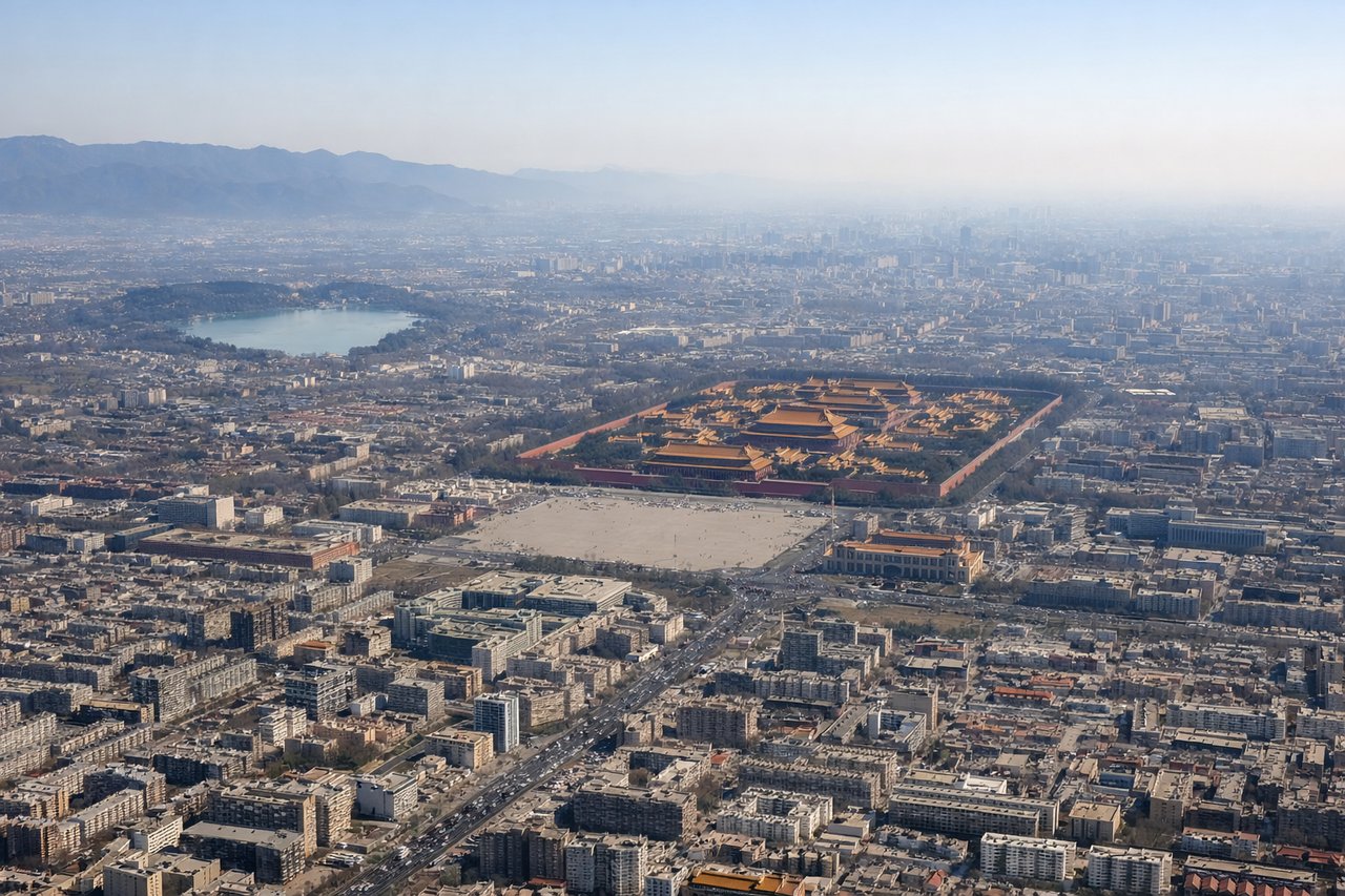
Takeoff from PEK
LEFTDeparting PEK to the west, the left side faces south toward Beijing's Western Hills and the Fangshan foothills, giving a brief but real terrain backdrop as the city falls away, while the right side shows flat North China Plain farmland.
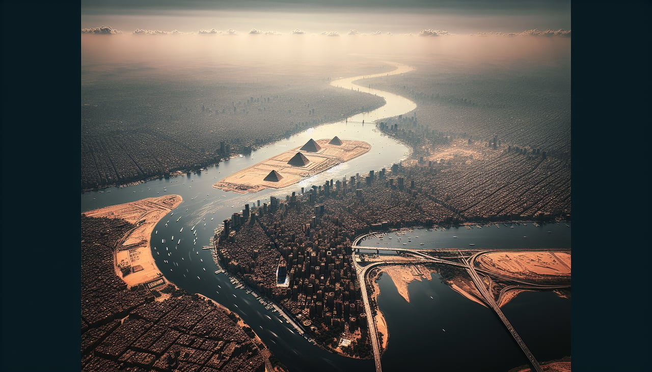
Landing at CAI
LEFTOn approach into CAI from the east under typical northeasterly operations, the aircraft turns south of the city before lining up on final, putting the Nile River, Cairo's skyline, and the Giza pyramid plateau on the left side of the cabin during descent.
Will your flight be in sunlight?
Pick a date and time in the Sun Map to watch the sun move across your whole flight.
About This Route
Which side of the plane should I sit on flying from Capital (PEK) to Cairo International (CAI)?
Sit on the Left side of the plane for the best views on flights from Beijing to Cairo. The left side wins overall thanks to the Tian Shan and Pamir ranges crossed during cruise over Central Asia, the Zagros Mountains near Iran-Iraq, and the pyramid/Nile view on final approach into Cairo — all visible to the south of the flight path.
What can I see during takeoff from Capital in Beijing?
During takeoff from Capital (PEK), sit on the Left side for the best views. Departing PEK to the west, the left side faces south toward Beijing's Western Hills and the Fangshan foothills, giving a brief but real terrain backdrop as the city falls away, while the right side shows flat North China Plain farmland. Notable sights include: Western Hills of Beijing, Yongding River valley, Beijing's outer suburbs.
What can I see when landing at Cairo International in Cairo?
When landing at Cairo International (CAI), sit on the Left side for the best views. On approach into CAI from the east under typical northeasterly operations, the aircraft turns south of the city before lining up on final, putting the Nile River, Cairo's skyline, and the Giza pyramid plateau on the left side of the cabin during descent. Notable sights include: Nile River and its Delta branches, Cairo skyline along the riverbanks, Giza pyramids and plateau, Muqattam hills.
How long is the flight from Beijing to Cairo?
The flight from Capital (PEK) to Cairo International (CAI) takes about 9 hours 55 minutes. The shortest flight path between them is 4,682 miles (7,535 km); winds and air traffic control usually add a few percent.
What does the Beijing to Cairo flight path pass over?
Tian Shan mountains and Taklamakan Desert in Xinjiang, the Pamir Knot along the Tajikistan-Afghanistan border, and the Zagros Mountains of western Iran