While left offers the dramatic Yanshan Mountains at takeoff, right provides superior scenery during descent with the Blue Ridge Mountains and Shenandoah Valley—more visually distinctive features and longer viewing duration as the flight approaches IAD.
Flown PEK to IAD? Did we get it right?
Flight Path
Beijing to Washington is 6,905 miles (11,113 km), a flight of about 11 hours 15 minutes.
Great Lakes region (Lake Michigan visible from altitude), Appalachian plateau terrain, Ohio River valley, transition from North American Great Plains to eastern deciduous forest belt
Great circle distance and headings ›


Phase by phase
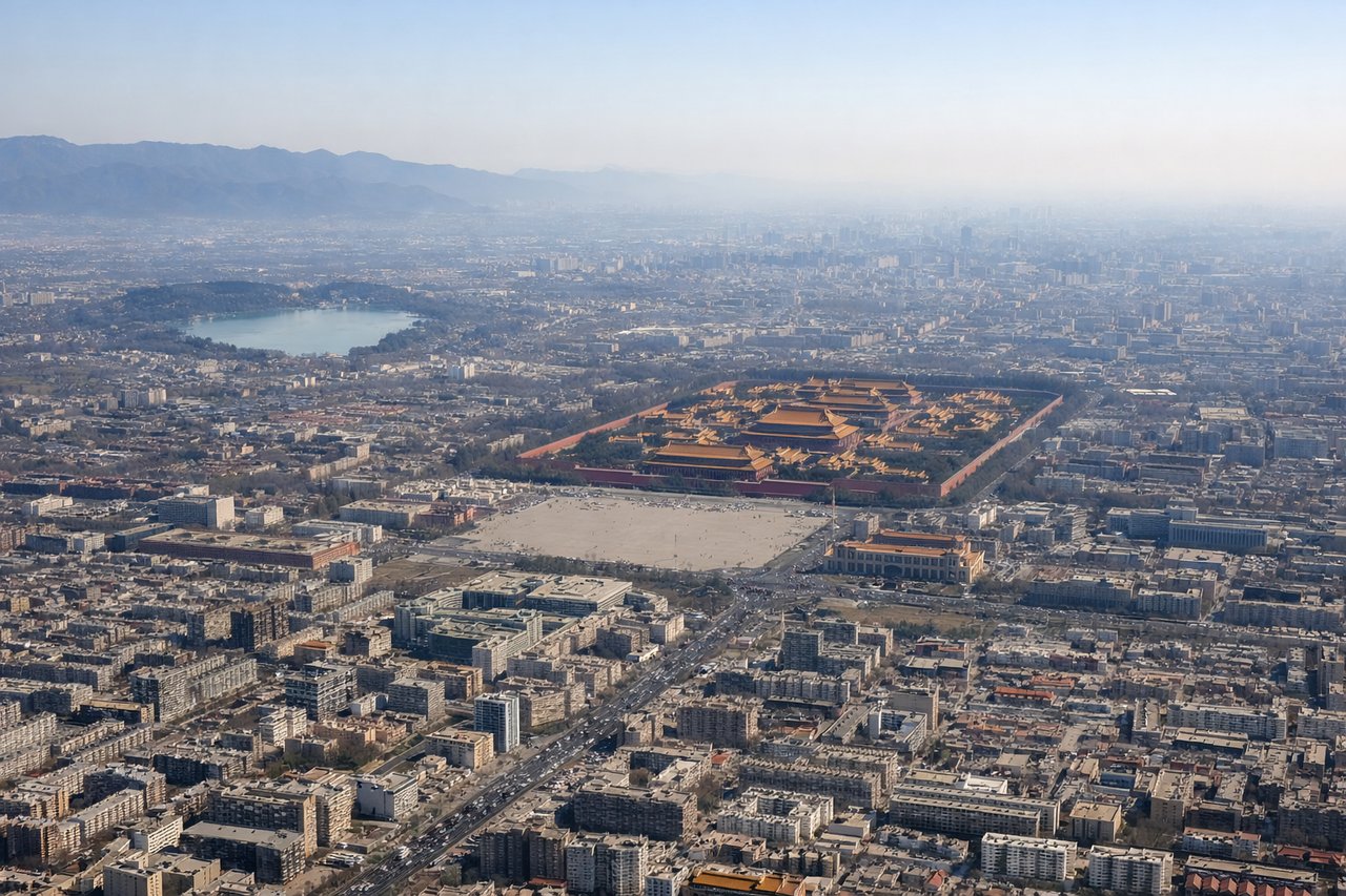
Takeoff from PEK
LEFTLeft side captures the Yanshan Mountains immediately northwest of Beijing during climb-out, plus views of the North China Plain extending eastward. Right side faces the urban sprawl of Beijing itself with less dramatic terrain.
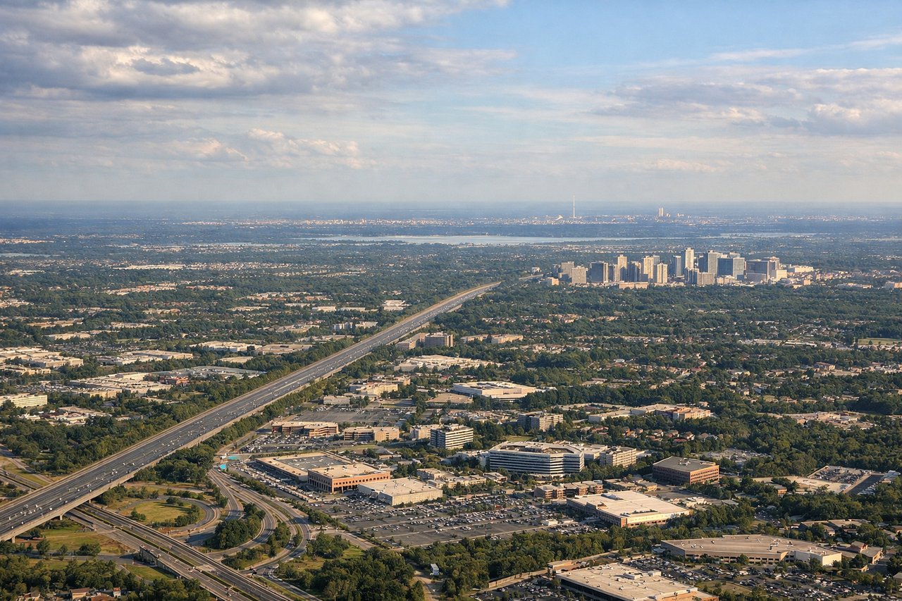
Landing at IAD
RIGHTRight side offers views of the Appalachian Mountains and the Shenandoah Valley during descent into IAD. Left side shows the Potomac River valley and urban Washington DC area, which is less visually distinctive at altitude.
Will your flight be in sunlight?
Pick a date and time in the Sun Map to watch the sun move across your whole flight.
About This Route
Which side of the plane should I sit on flying from Capital (PEK) to Washington Dulles International (IAD)?
Sit on the Right side of the plane for the best views on flights from Beijing to Washington. While left offers the dramatic Yanshan Mountains at takeoff, right provides superior scenery during descent with the Blue Ridge Mountains and Shenandoah Valley—more visually distinctive features and longer viewing duration as the flight approaches IAD.
What can I see during takeoff from Capital in Beijing?
During takeoff from Capital (PEK), sit on the Left side for the best views. Left side captures the Yanshan Mountains immediately northwest of Beijing during climb-out, plus views of the North China Plain extending eastward. Right side faces the urban sprawl of Beijing itself with less dramatic terrain. Notable sights include: Yanshan Mountains (northwest), North China Plain (east), Ming Tombs reservoir area (north), Juyongguan Pass valley (west).
What can I see when landing at Washington Dulles International in Washington?
When landing at Washington Dulles International (IAD), sit on the Right side for the best views. Right side offers views of the Appalachian Mountains and the Shenandoah Valley during descent into IAD. Left side shows the Potomac River valley and urban Washington DC area, which is less visually distinctive at altitude. Notable sights include: Blue Ridge Mountains (southwest), Shenandoah Valley (south), Potomac River (east), Loudoun County rolling terrain (north).
How long is the flight from Beijing to Washington?
The flight from Capital (PEK) to Washington Dulles International (IAD) takes about 11 hours 15 minutes. The shortest flight path between them is 6,905 miles (11,113 km); winds and air traffic control usually add a few percent.
What does the Beijing to Washington flight path pass over?
Great Lakes region (Lake Michigan visible from altitude), Appalachian plateau terrain, Ohio River valley, transition from North American Great Plains to eastern deciduous forest belt