While the takeoff offers coastal scenery, the landing approach provides the more dramatic and memorable views: the snow-capped volcanic peaks of the Trans-Mexican Volcanic Belt rising above Mexico City's vast urban basin are far more visually striking than Perth's coastal plains.
Flight Path
This ultra-long-haul route crosses the Indian Ocean, the southern Indian Ocean, the Southern Ocean, and the South Pacific. Key midpoint features include the Chagos Archipelago (visible around 6–7 hours into flight), the vast open waters of the southern Indian Ocean with no major landmasses for approximately 10 hours, and the approach to South America via the Pacific. The flight path does not cross major mountain ranges or dramatic terrain in the midpoint; instead, it traverses open ocean for the majority of the journey. Sunrise and sunset effects over the ocean will dominate the midpoint experience rather than specific geographic landmarks.
Great circle distance and headings ›
.jpg?width=600)
_(cropped).jpg?width=600)


Phase by phase
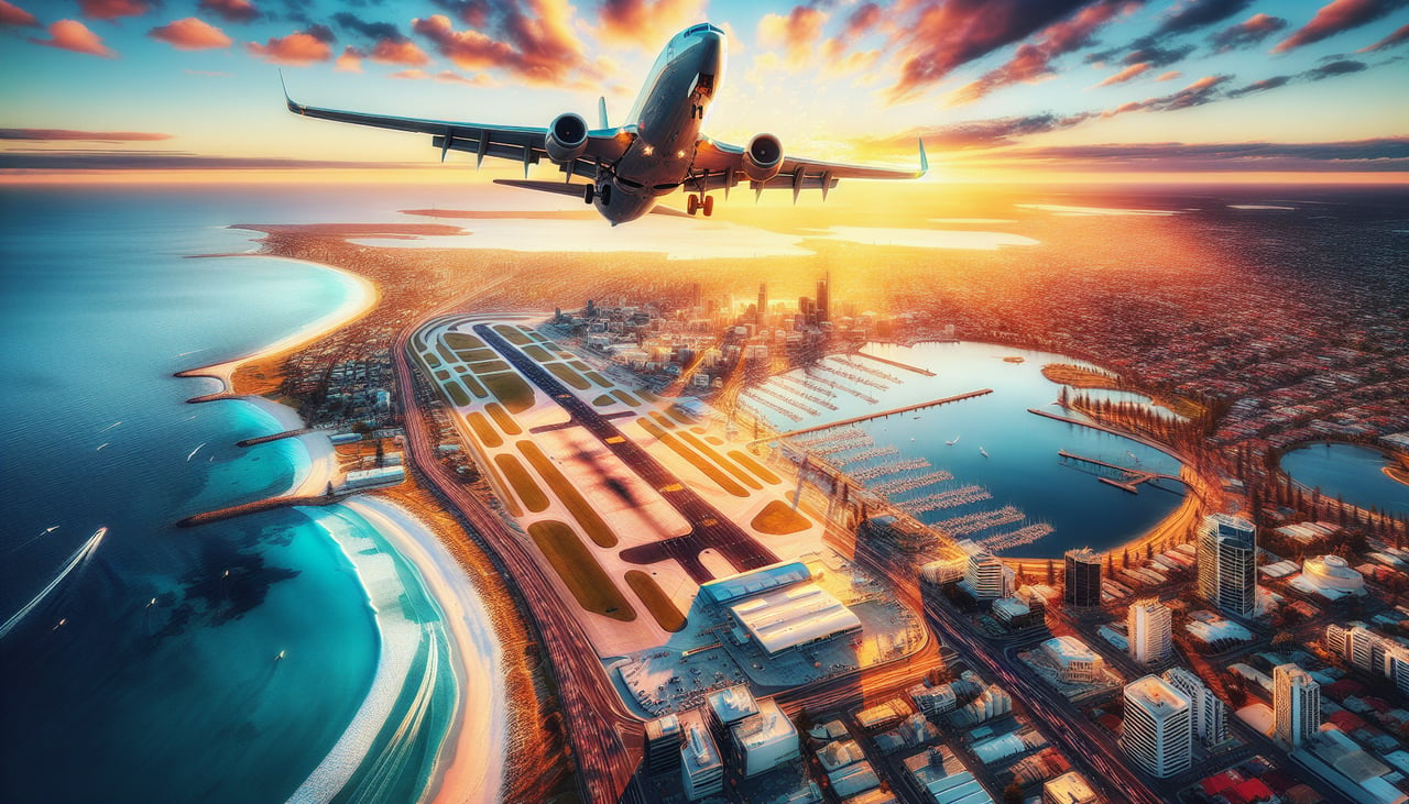
Takeoff from PER
LEFTLeft seats offer views of the Indian Ocean coastline and the Darling Range escarpment as the aircraft climbs northwest from Perth. The terrain transitions from urban sprawl to open water and distant inland ridges within the first 15–20 minutes of flight.
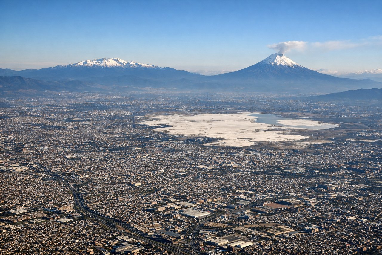
Landing at MEX
RIGHTRight seats provide views of the Trans-Mexican Volcanic Belt and the Valley of Mexico as the aircraft descends into Mexico City from the northeast. The snow-capped peaks of Popocatépetl and Iztaccíhuatl are often visible on clear days, along with the sprawling urban basin.
Landmarks on this routeAll landmarks →
Will your flight be in sunlight?
See exactly which side of the plane gets sun and shade at your departure time.
About This Route
Which side of the plane should I sit on flying from Perth International (PER) to Licenciado Benito Juarez International (MEX)?
Sit on the Right side of the plane for the best views on flights from Perth to Mexico City. While the takeoff offers coastal scenery, the landing approach provides the more dramatic and memorable views: the snow-capped volcanic peaks of the Trans-Mexican Volcanic Belt rising above Mexico City's vast urban basin are far more visually striking than Perth's coastal plains.
What can I see during takeoff from Perth International in Perth?
During takeoff from Perth International (PER), sit on the Left side for the best views. Left seats offer views of the Indian Ocean coastline and the Darling Range escarpment as the aircraft climbs northwest from Perth. The terrain transitions from urban sprawl to open water and distant inland ridges within the first 15–20 minutes of flight. Notable sights include: Indian Ocean, Darling Range, Swan River estuary, Perth metropolitan area.
What can I see when landing at Licenciado Benito Juarez International in Mexico City?
When landing at Licenciado Benito Juarez International (MEX), sit on the Right side for the best views. Right seats provide views of the Trans-Mexican Volcanic Belt and the Valley of Mexico as the aircraft descends into Mexico City from the northeast. The snow-capped peaks of Popocatépetl and Iztaccíhuatl are often visible on clear days, along with the sprawling urban basin. Notable sights include: Trans-Mexican Volcanic Belt (Popocatépetl, Iztaccíhuatl), Valley of Mexico, Mexico City metropolitan area, Lake Texcoco remnants.
How long is the flight from Perth to Mexico City?
The flight from Perth International (PER) to Licenciado Benito Juarez International (MEX) takes 16h 45m.
What does the Perth to Mexico City flight path pass over?
This ultra-long-haul route crosses the Indian Ocean, the southern Indian Ocean, the Southern Ocean, and the South Pacific. Key midpoint features include the Chagos Archipelago (visible around 6–7 hours into flight), the vast open waters of the southern Indian Ocean with no major landmasses for approximately 10 hours, and the approach to South America via the Pacific. The flight path does not cross major mountain ranges or dramatic terrain in the midpoint; instead, it traverses open ocean for the majority of the journey. Sunrise and sunset effects over the ocean will dominate the midpoint experience rather than specific geographic landmarks.