The takeoff view of the Panama Canal and Gatun Lake is more visually distinctive and geographically significant than the landing approach. While the Chesapeake Bay is impressive, the canal system is a more iconic and rarely-seen-from-aircraft landmark for most passengers.
Flown PTY to BWI? Did we get it right?
Flight Path
Panama City to Baltimore is 2,087 miles (3,358 km), a flight of about 5 hours.
The flight path crosses the Caribbean Sea north of Jamaica, then passes over or near the Bahamas (depending on routing). The Yucatan Channel and Gulf of Mexico approaches are typically avoided by this routing. Most of the midpoint is open ocean with no significant landmarks visible. The flight enters US airspace over Florida, with the Florida peninsula becoming visible around 2 hours into the flight—the Atlantic coast and central Florida lakes may be visible during descent into the eastern seaboard.
Great circle distance and headings ›

Phase by phase

Takeoff from PTY
RIGHTRight side seats capture the Panama Canal and Gatun Lake during initial climb. Tocumen typically departs eastbound (Runway 03R/03L), so the right side faces north toward the canal system as you climb out over the Caribbean approaches.
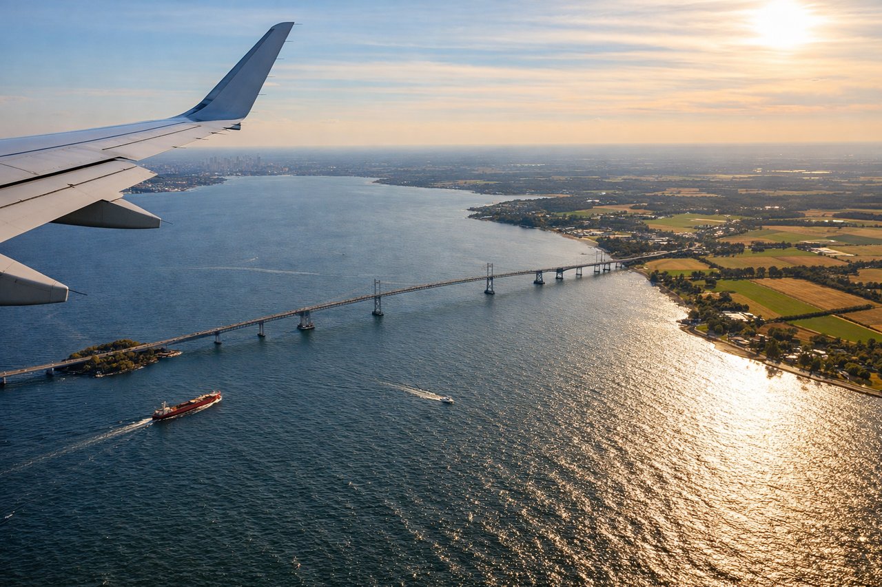
Landing at BWI
LEFTLeft side provides views of the Chesapeake Bay and Patapsco River as you descend into BWI. Typical landing runways are 15L/15R (northeast approach), so the left side faces southeast toward the bay system and the approach corridor over water.
Will your flight be in sunlight?
Pick a date and time in the Sun Map to watch the sun move across your whole flight.
About This Route
Which side of the plane should I sit on flying from Tocumen International (PTY) to Baltimore Washington International (BWI)?
Sit on the Right side of the plane for the best views on flights from Panama City to Baltimore. The takeoff view of the Panama Canal and Gatun Lake is more visually distinctive and geographically significant than the landing approach. While the Chesapeake Bay is impressive, the canal system is a more iconic and rarely-seen-from-aircraft landmark for most passengers.
What can I see during takeoff from Tocumen International in Panama City?
During takeoff from Tocumen International (PTY), sit on the Right side for the best views. Right side seats capture the Panama Canal and Gatun Lake during initial climb. Tocumen typically departs eastbound (Runway 03R/03L), so the right side faces north toward the canal system as you climb out over the Caribbean approaches. Notable sights include: Panama Canal (Gatun Locks visible as geometric structures), Gatun Lake (large freshwater body), Colón city on the Atlantic coast, Caribbean Sea horizon.
What can I see when landing at Baltimore Washington International in Baltimore?
When landing at Baltimore Washington International (BWI), sit on the Left side for the best views. Left side provides views of the Chesapeake Bay and Patapsco River as you descend into BWI. Typical landing runways are 15L/15R (northeast approach), so the left side faces southeast toward the bay system and the approach corridor over water. Notable sights include: Chesapeake Bay (massive estuary), Patapsco River (narrows leading to Baltimore Harbor), Baltimore Harbor and Inner Harbor, Dundalk and industrial areas south of airport.
How long is the flight from Panama City to Baltimore?
The flight from Tocumen International (PTY) to Baltimore Washington International (BWI) takes about 5 hours. The shortest flight path between them is 2,087 miles (3,358 km); winds and air traffic control usually add a few percent.
What does the Panama City to Baltimore flight path pass over?
The flight path crosses the Caribbean Sea north of Jamaica, then passes over or near the Bahamas (depending on routing). The Yucatan Channel and Gulf of Mexico approaches are typically avoided by this routing. Most of the midpoint is open ocean with no significant landmarks visible. The flight enters US airspace over Florida, with the Florida peninsula becoming visible around 2 hours into the flight—the Atlantic coast and central Florida lakes may be visible during descent into the eastern seaboard.