Right-side seats capture the most dramatic geography: the Panama Canal and Caribbean coast on departure, then the Caribbean and Central American coastlines during cruise, and finally the highland terrain approaching Guatemala. The flight path itself runs generally northwest, so right seats face the more varied topography throughout.
Flown PTY to GUA? Did we get it right?
Flight Path
Panama City to Guatemala City is 844 miles (1,358 km), a flight of about 2 hours 20 minutes.
After leaving the Panama Canal zone, the flight crosses the Caribbean Sea and approaches the Central American mainland. You'll pass over or near the Yucatán Peninsula's eastern edge (Quintana Roo coast) and the Petén lowlands of northern Guatemala. The transition from coastal plains to the volcanic highlands of central Guatemala becomes pronounced in the final 30 minutes of descent. The Motagua River valley may be visible as a linear feature cutting through the highlands on the approach to Guatemala City.
Great circle distance and headings ›Phase by phase

Takeoff from PTY
RIGHTTocumen typically departs eastbound (Runway 03R/03L). Right-side seats face the Caribbean coast and the Panama Canal approach channels as you climb. You'll see the Gatun Lake system and the canal's northern locks infrastructure receding beneath you.
Landing at GUA
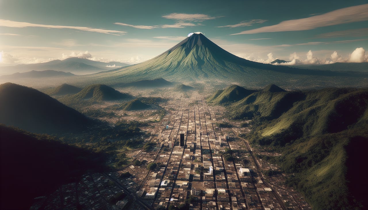
LEFTLa Aurora typically lands westbound (Runway 19L/19R). Left-side seats provide views of Guatemala City's urban sprawl and the surrounding highland valleys as you descend. The Palencia Ridge and the city's position in the volcanic plateau are clearly visible on approach.
Will your flight be in sunlight?
Pick a date and time in the Sun Map to watch the sun move across your whole flight.
About This Route
Which side of the plane should I sit on flying from Tocumen International (PTY) to La Aurora (GUA)?
Sit on the Right side of the plane for the best views on flights from Panama City to Guatemala City. Right-side seats capture the most dramatic geography: the Panama Canal and Caribbean coast on departure, then the Caribbean and Central American coastlines during cruise, and finally the highland terrain approaching Guatemala. The flight path itself runs generally northwest, so right seats face the more varied topography throughout.
What can I see during takeoff from Tocumen International in Panama City?
During takeoff from Tocumen International (PTY), sit on the Right side for the best views. Tocumen typically departs eastbound (Runway 03R/03L). Right-side seats face the Caribbean coast and the Panama Canal approach channels as you climb. You'll see the Gatun Lake system and the canal's northern locks infrastructure receding beneath you. Notable sights include: Panama Canal (Gatun Locks), Gatun Lake, Caribbean coastline, Darién Peninsula (distant, eastern horizon).
What can I see when landing at La Aurora in Guatemala City?
When landing at La Aurora (GUA), sit on the Left side for the best views. La Aurora typically lands westbound (Runway 19L/19R). Left-side seats provide views of Guatemala City's urban sprawl and the surrounding highland valleys as you descend. The Palencia Ridge and the city's position in the volcanic plateau are clearly visible on approach. Notable sights include: Guatemala City urban grid, Palencia Ridge, Lake Amatitlán (southern approach), volcanic highlands of the central plateau.
How long is the flight from Panama City to Guatemala City?
The flight from Tocumen International (PTY) to La Aurora (GUA) takes about 2 hours 20 minutes. The shortest flight path between them is 844 miles (1,358 km); winds and air traffic control usually add a few percent.
What does the Panama City to Guatemala City flight path pass over?
After leaving the Panama Canal zone, the flight crosses the Caribbean Sea and approaches the Central American mainland. You'll pass over or near the Yucatán Peninsula's eastern edge (Quintana Roo coast) and the Petén lowlands of northern Guatemala. The transition from coastal plains to the volcanic highlands of central Guatemala becomes pronounced in the final 30 minutes of descent. The Motagua River valley may be visible as a linear feature cutting through the highlands on the approach to Guatemala City.