Right-side seats capture the most dramatic scenery: the Panama Canal and Caribbean coast during departure, then the Caribbean Sea and Honduran coastline during the cruise phase. While left offers good landing views, the takeoff experience from the right is superior for this route.
Flown PTY to SAP? Did we get it right?
Flight Path
Panama City to San Pedro Sula is 726 miles (1,168 km), a flight of about 2 hours 10 minutes.
The flight path crosses the Caribbean Sea northwest from Panama. Visible features include the Bocas del Toro archipelago off Panama's western coast, the Caribbean coastline of Costa Rica and Panama's Veraguas Province, and the approach to Honduras's Caribbean coast near the Bay Islands region. The Yucatán Channel lies to the north. Most of the cruise phase is over open water with occasional glimpses of Central American coastline, particularly the forested Caribbean coast of Honduras as you approach SAP.
Great circle distance and headings ›Phase by phase
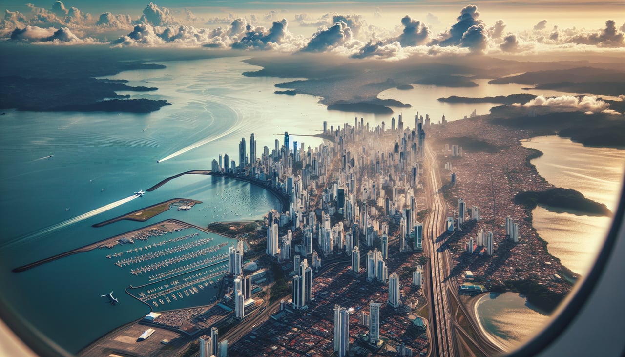
Takeoff from PTY
RIGHTRight-side seats capture the Caribbean coastline and Panama Canal approaches as the aircraft climbs northwestward from Tocumen. The canal's locks and Gatun Lake are visible during initial climb, and you'll see the transition from urban Panama City to forested terrain.
Landing at SAP
LEFTLeft-side seats offer the best views during descent into San Pedro Sula. You'll see the Cortés Department's agricultural plains, the Ulúa River valley, and the transition from Caribbean lowlands to the foothills of the interior highlands as you approach from the southeast.
Will your flight be in sunlight?
Pick a date and time in the Sun Map to watch the sun move across your whole flight.
About This Route
Which side of the plane should I sit on flying from Tocumen International (PTY) to La Mesa International (SAP)?
Sit on the Right side of the plane for the best views on flights from Panama City to San Pedro Sula. Right-side seats capture the most dramatic scenery: the Panama Canal and Caribbean coast during departure, then the Caribbean Sea and Honduran coastline during the cruise phase. While left offers good landing views, the takeoff experience from the right is superior for this route.
What can I see during takeoff from Tocumen International in Panama City?
During takeoff from Tocumen International (PTY), sit on the Right side for the best views. Right-side seats capture the Caribbean coastline and Panama Canal approaches as the aircraft climbs northwestward from Tocumen. The canal's locks and Gatun Lake are visible during initial climb, and you'll see the transition from urban Panama City to forested terrain. Notable sights include: Panama Canal and Gatun Lake, Caribbean coastline near Colón, Chagres River valley, Panama City urban sprawl.
What can I see when landing at La Mesa International in San Pedro Sula?
When landing at La Mesa International (SAP), sit on the Left side for the best views. Left-side seats offer the best views during descent into San Pedro Sula. You'll see the Cortés Department's agricultural plains, the Ulúa River valley, and the transition from Caribbean lowlands to the foothills of the interior highlands as you approach from the southeast. Notable sights include: Ulúa River and valley system, Caribbean coastal plains, San Pedro Sula urban area, foothills of interior Honduras highlands.
How long is the flight from Panama City to San Pedro Sula?
The flight from Tocumen International (PTY) to La Mesa International (SAP) takes about 2 hours 10 minutes. The shortest flight path between them is 726 miles (1,168 km); winds and air traffic control usually add a few percent.
What does the Panama City to San Pedro Sula flight path pass over?
The flight path crosses the Caribbean Sea northwest from Panama. Visible features include the Bocas del Toro archipelago off Panama's western coast, the Caribbean coastline of Costa Rica and Panama's Veraguas Province, and the approach to Honduras's Caribbean coast near the Bay Islands region. The Yucatán Channel lies to the north. Most of the cruise phase is over open water with occasional glimpses of Central American coastline, particularly the forested Caribbean coast of Honduras as you approach SAP.