While the takeoff offers Patagonian coastal scenery, the landing approach to Lima provides more dramatic and visually varied geography—the Andes escarpment, Pacific coastline, and sprawling metropolitan area create a more compelling final hour of flight.
Flown PUQ to LIM? Did we get it right?
Flight Path
Punta Arenas to Lima is 2,853 miles (4,591 km), a flight of about 6 hours.
The flight path traverses the Atacama Desert (world's driest non-polar desert), the Chilean-Peruvian border region near the Andes, and passes east of the Pacific coastline. Notable landmarks include the Salar de Atacama salt flats, the Andes cordillera with multiple peaks exceeding 6,000 meters, and the transition from barren desert to the more vegetated Peruvian highlands. The route generally follows a northwesterly bearing, staying inland of the coast until the final descent into Lima.
Great circle distance and headings ›Phase by phase
Takeoff from PUQ
LEFTLeft seats face northwest on departure from PUQ, offering views of the Strait of Magellan and the northern Patagonian landscape. Right seats look inland toward the Andes foothills, which are less visually distinctive at this latitude.
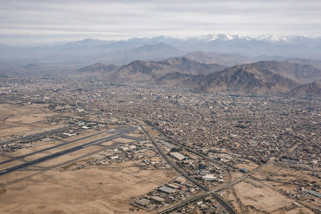
Landing at LIM
RIGHTRight seats face west-southwest on approach to LIM, providing views of the Pacific coastline, the Andes escarpment, and the Lima metropolitan area sprawl. Left seats see inland desert and mountains without the dramatic coastal approach.
Will your flight be in sunlight?
Pick a date and time in the Sun Map to watch the sun move across your whole flight.
About This Route
Which side of the plane should I sit on flying from Carlos Ibanez Del Campo International (PUQ) to Jorge Chávez International Airport (LIM)?
Sit on the Right side of the plane for the best views on flights from Punta Arenas to Lima. While the takeoff offers Patagonian coastal scenery, the landing approach to Lima provides more dramatic and visually varied geography—the Andes escarpment, Pacific coastline, and sprawling metropolitan area create a more compelling final hour of flight.
What can I see during takeoff from Carlos Ibanez Del Campo International in Punta Arenas?
During takeoff from Carlos Ibanez Del Campo International (PUQ), sit on the Left side for the best views. Left seats face northwest on departure from PUQ, offering views of the Strait of Magellan and the northern Patagonian landscape. Right seats look inland toward the Andes foothills, which are less visually distinctive at this latitude. Notable sights include: Strait of Magellan, Tierra del Fuego coastline, Darwin Range (distant peaks), Punta Arenas city grid.
What can I see when landing at Jorge Chávez International Airport in Lima?
When landing at Jorge Chávez International Airport (LIM), sit on the Right side for the best views. Right seats face west-southwest on approach to LIM, providing views of the Pacific coastline, the Andes escarpment, and the Lima metropolitan area sprawl. Left seats see inland desert and mountains without the dramatic coastal approach. Notable sights include: Pacific Ocean, Andes western escarpment, Lima city sprawl, Callao port district.
How long is the flight from Punta Arenas to Lima?
The flight from Carlos Ibanez Del Campo International (PUQ) to Jorge Chávez International Airport (LIM) takes about 6 hours. The shortest flight path between them is 2,853 miles (4,591 km); winds and air traffic control usually add a few percent.
What does the Punta Arenas to Lima flight path pass over?
The flight path traverses the Atacama Desert (world's driest non-polar desert), the Chilean-Peruvian border region near the Andes, and passes east of the Pacific coastline. Notable landmarks include the Salar de Atacama salt flats, the Andes cordillera with multiple peaks exceeding 6,000 meters, and the transition from barren desert to the more vegetated Peruvian highlands. The route generally follows a northwesterly bearing, staying inland of the coast until the final descent into Lima.