While the takeoff offers excellent Black Hills views on the left, the landing approach provides more dramatic and sustained scenery—the entire Front Range of the Rocky Mountains comes into view as you descend, followed by the sprawling Denver metropolitan area. The right side captures the most visually impressive portion of the flight path.
Flown RAP to DEN? Did we get it right?
Flight Path
Rapid City to Denver is 301 miles (484 km), a flight of about 1 hour 10 minutes.
The flight path travels south-southwest from Rapid City across the High Plains of eastern Wyoming and Colorado. Notable features along the route include the Cheyenne area (visible from altitude as an urban cluster), the transition from grassland to increasingly rolling terrain, and the gradual approach to the Front Range. The South Platte River drainage becomes visible in the final 30 minutes of flight as it cuts through the plains toward Denver. No major mountain ranges are crossed mid-flight—the terrain is predominantly open prairie with scattered buttes and ridges until the Front Range appears on the horizon approximately 40-50 miles north of Denver.
Great circle distance and headings ›Phase by phase
Takeoff from RAP
LEFTLeft seats offer immediate views of the Black Hills as you climb out westbound. The granite peaks and forested ridges of this distinctive mountain range dominate the landscape immediately west of Rapid City and are visible within the first 10-15 minutes of flight.
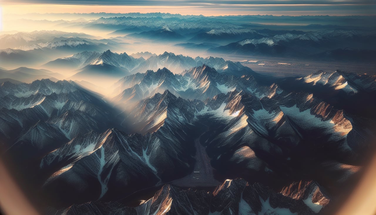
Landing at DEN
RIGHTRight seats provide excellent views during the descent into Denver, particularly of the Front Range of the Rocky Mountains as you approach from the north. The dramatic eastern escarpment of the Rockies becomes increasingly prominent, and you'll see the urban sprawl of the Denver metropolitan area spreading across the plains.
Will your flight be in sunlight?
Pick a date and time in the Sun Map to watch the sun move across your whole flight.
About This Route
Which side of the plane should I sit on flying from Rapid City Regional Airport (RAP) to Denver International (DEN)?
Sit on the Right side of the plane for the best views on flights from Rapid City to Denver. While the takeoff offers excellent Black Hills views on the left, the landing approach provides more dramatic and sustained scenery—the entire Front Range of the Rocky Mountains comes into view as you descend, followed by the sprawling Denver metropolitan area. The right side captures the most visually impressive portion of the flight path.
What can I see during takeoff from Rapid City Regional Airport in Rapid City?
During takeoff from Rapid City Regional Airport (RAP), sit on the Left side for the best views. Left seats offer immediate views of the Black Hills as you climb out westbound. The granite peaks and forested ridges of this distinctive mountain range dominate the landscape immediately west of Rapid City and are visible within the first 10-15 minutes of flight. Notable sights include: Black Hills (granite peaks and pine forest), Harney Peak (highest point in the range at 7,242 ft), Rapid Creek valley below airport, Badlands escarpment to the northeast.
What can I see when landing at Denver International in Denver?
When landing at Denver International (DEN), sit on the Right side for the best views. Right seats provide excellent views during the descent into Denver, particularly of the Front Range of the Rocky Mountains as you approach from the north. The dramatic eastern escarpment of the Rockies becomes increasingly prominent, and you'll see the urban sprawl of the Denver metropolitan area spreading across the plains. Notable sights include: Front Range of Rocky Mountains (Longs Peak and peaks north of Denver), Denver metropolitan area and urban grid, South Platte River valley, High Plains extending eastward.
How long is the flight from Rapid City to Denver?
The flight from Rapid City Regional Airport (RAP) to Denver International (DEN) takes about 1 hour 10 minutes. The shortest flight path between them is 301 miles (484 km); winds and air traffic control usually add a few percent.
What does the Rapid City to Denver flight path pass over?
The flight path travels south-southwest from Rapid City across the High Plains of eastern Wyoming and Colorado. Notable features along the route include the Cheyenne area (visible from altitude as an urban cluster), the transition from grassland to increasingly rolling terrain, and the gradual approach to the Front Range. The South Platte River drainage becomes visible in the final 30 minutes of flight as it cuts through the plains toward Denver. No major mountain ranges are crossed mid-flight—the terrain is predominantly open prairie with scattered buttes and ridges until the Front Range appears on the horizon approximately 40-50 miles north of Denver.