While the right side wins a brief, dramatic moment during the San Diego departure turn, the left side dominates the long cruise phase along the Southern and Central California coastline and again during the San Francisco Bay approach, giving it far greater sustained scenic value.
Flight Path
The route tracks the California coastline past Point Conception and the Santa Barbara Channel, with the Channel Islands visible offshore, before continuing north over the Big Sur coastline and Monterey Bay.
Great circle distance and headings ›.jpg?width=600)

Phase by phase
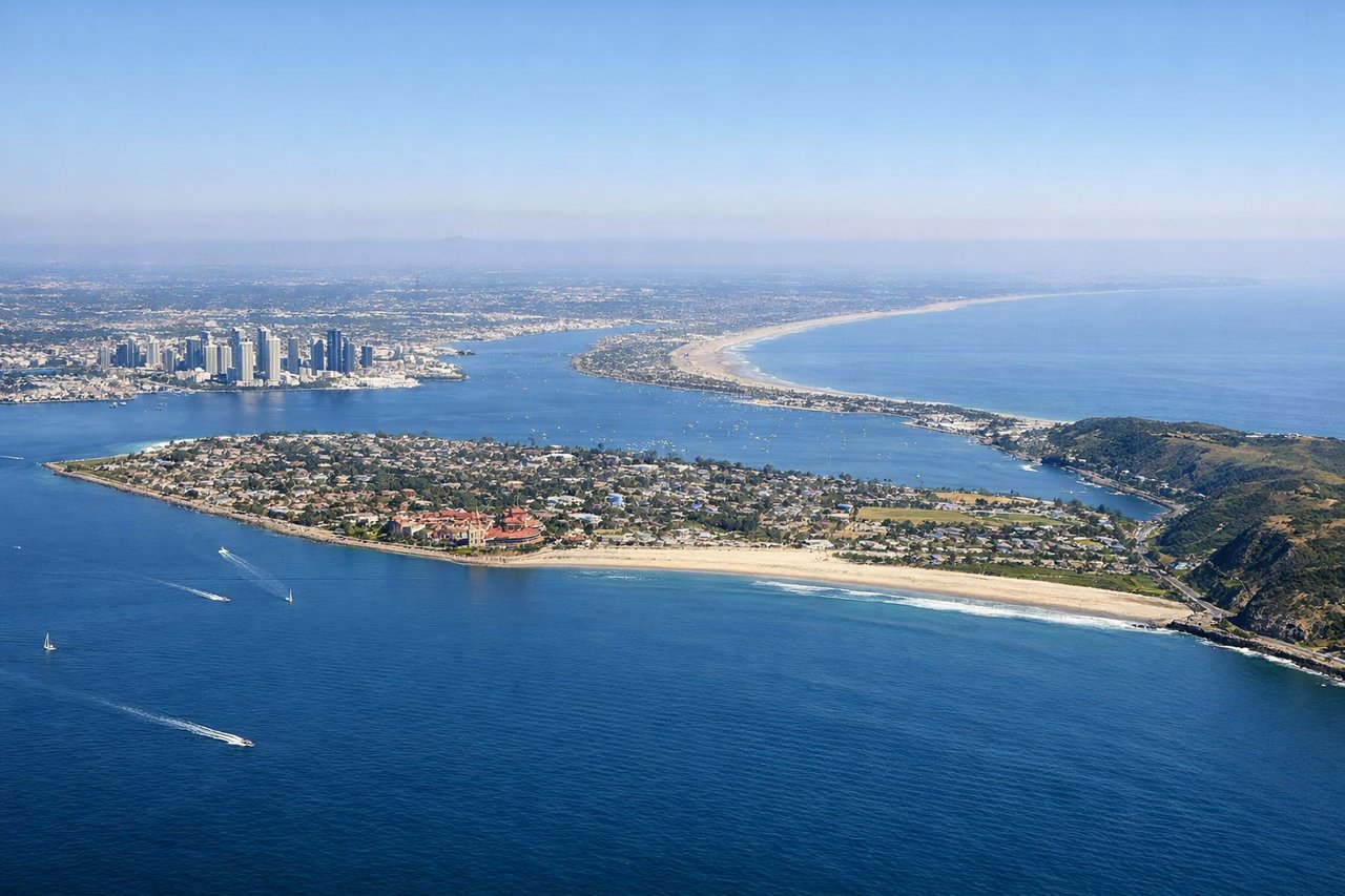
Takeoff from SAN
RIGHTAfter departing Runway 27 over San Diego Bay, the aircraft banks right toward its northbound routing, swinging the downtown San Diego skyline, Balboa Park, and the bay into view on the right side. Left-side passengers mostly see Point Loma and open ocean sliding away during the turn.
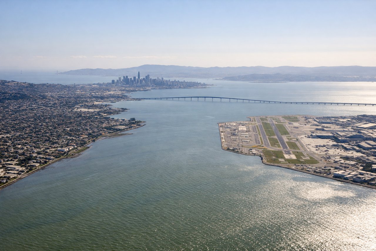
Landing at SFO
LEFTOn final approach into SFO, the descent path runs along the bay side of the peninsula, putting the San Francisco skyline, the Bay Bridge, and the East Bay hills on the left side of the aircraft. The right side instead faces open Pacific Ocean and the less distinctive Pacifica coastline.
Landmarks on this routeAll landmarks →
Will your flight be in sunlight?
See exactly which side of the plane gets sun and shade at your departure time.
About This Route
Which side of the plane should I sit on flying from San Diego International Lindbergh Fld (SAN) to San Francisco International (SFO)?
Sit on the Left side of the plane for the best views on flights from San Diego to San Francisco. While the right side wins a brief, dramatic moment during the San Diego departure turn, the left side dominates the long cruise phase along the Southern and Central California coastline and again during the San Francisco Bay approach, giving it far greater sustained scenic value.
What can I see during takeoff from San Diego International Lindbergh Fld in San Diego?
During takeoff from San Diego International Lindbergh Fld (SAN), sit on the Right side for the best views. After departing Runway 27 over San Diego Bay, the aircraft banks right toward its northbound routing, swinging the downtown San Diego skyline, Balboa Park, and the bay into view on the right side. Left-side passengers mostly see Point Loma and open ocean sliding away during the turn. Notable sights include: Downtown San Diego skyline, San Diego Bay, Balboa Park, Coronado Bridge.
What can I see when landing at San Francisco International in San Francisco?
When landing at San Francisco International (SFO), sit on the Left side for the best views. On final approach into SFO, the descent path runs along the bay side of the peninsula, putting the San Francisco skyline, the Bay Bridge, and the East Bay hills on the left side of the aircraft. The right side instead faces open Pacific Ocean and the less distinctive Pacifica coastline. Notable sights include: San Francisco skyline, Bay Bridge, San Francisco Bay, East Bay hills.
How long is the flight from San Diego to San Francisco?
The flight from San Diego International Lindbergh Fld (SAN) to San Francisco International (SFO) takes 1h 25m.
What does the San Diego to San Francisco flight path pass over?
The route tracks the California coastline past Point Conception and the Santa Barbara Channel, with the Channel Islands visible offshore, before continuing north over the Big Sur coastline and Monterey Bay.