While takeoff from SAN favors left seats, the landing at YVR on right seats provides more dramatic and sustained views of the North Shore Mountains and the approach corridor. The landing experience outweighs the takeoff advantage.
Flown SAN to YVR? Did we get it right?
Flight Path
San Diego to Vancouver is 1,179 miles (1,897 km), a flight of about 3 hours.
The flight path heads north-northwest from San Diego, crossing the Pacific Ocean. Notable features along the route include the Channel Islands (visible as small landmasses if flying at optimal altitude during daylight), the California coast near Santa Barbara and Big Sur (visible on the left/west side during the first 90 minutes if conditions permit), the Oregon-California border region, and eventually the Cascade Range foothills as you approach the Pacific Northwest. The flight crosses over open ocean for most of the journey, with the coastline visible intermittently on the left side. As you approach YVR, the Olympic Mountains in Washington State become visible on the right, followed by the North Cascades and Coast Range mountains framing the approach into Vancouver.
Great circle distance and headings ›


Phase by phase
Takeoff from SAN
LEFTSAN typically departs runways 09L/09R (westbound over water) or 27L/27R (eastbound over land). Westbound departures are more common. Left seats offer immediate views of San Diego Bay, the Pacific coastline, and the Coronado Peninsula as you climb out over water.
Landing at YVR
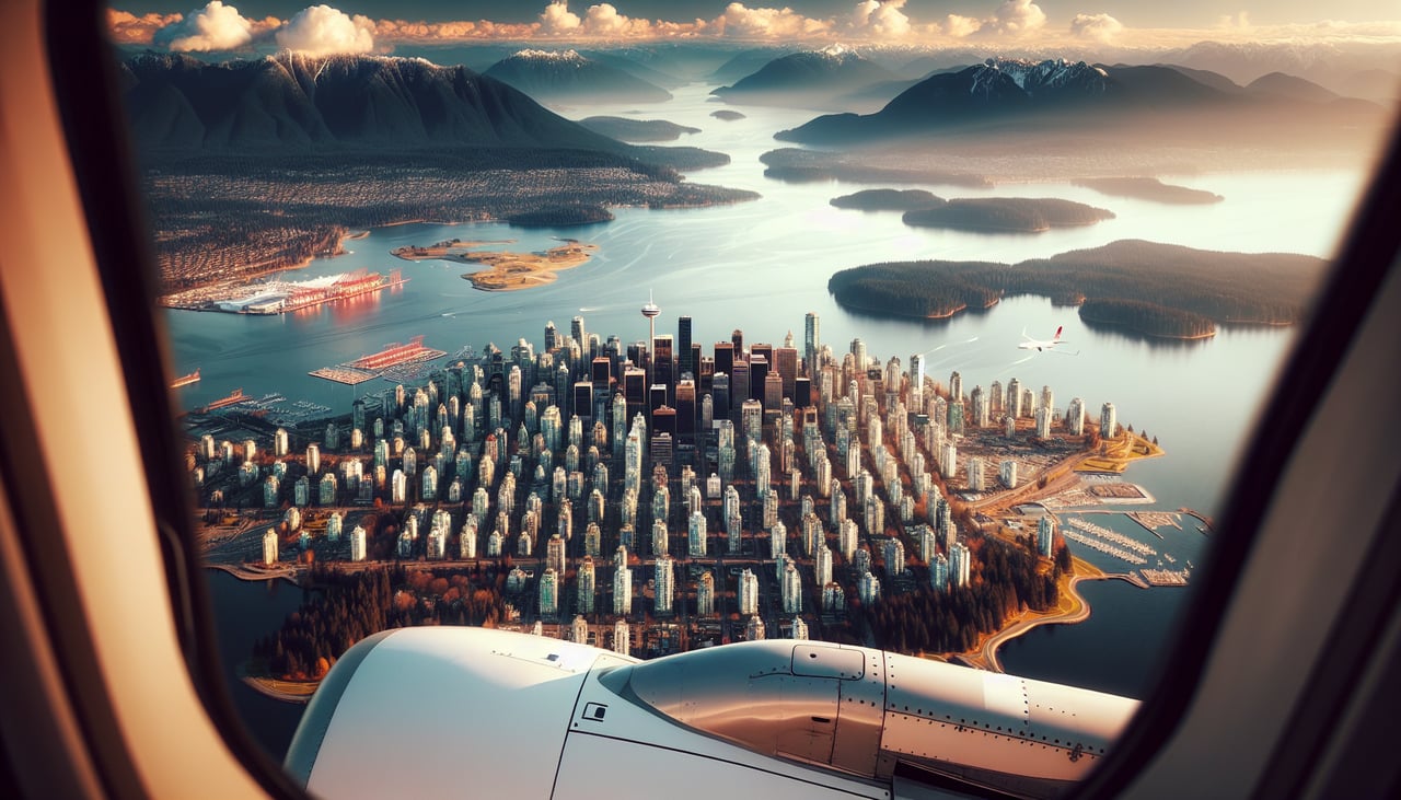
RIGHTYVR typically lands on runways 26L/26R (westbound, over water) or 08L/08R (eastbound, over land). Westbound approaches are standard. Right seats provide superior views of the North Shore Mountains, Burrard Inlet, and the approach path over the Strait of Georgia with Vancouver's skyline visible ahead.
Will your flight be in sunlight?
Pick a date and time in the Sun Map to watch the sun move across your whole flight.
About This Route
Which side of the plane should I sit on flying from San Diego International Lindbergh Fld (SAN) to Vancouver International (YVR)?
Sit on the Right side of the plane for the best views on flights from San Diego to Vancouver. While takeoff from SAN favors left seats, the landing at YVR on right seats provides more dramatic and sustained views of the North Shore Mountains and the approach corridor. The landing experience outweighs the takeoff advantage.
What can I see during takeoff from San Diego International Lindbergh Fld in San Diego?
During takeoff from San Diego International Lindbergh Fld (SAN), sit on the Left side for the best views. SAN typically departs runways 09L/09R (westbound over water) or 27L/27R (eastbound over land). Westbound departures are more common. Left seats offer immediate views of San Diego Bay, the Pacific coastline, and the Coronado Peninsula as you climb out over water. Notable sights include: San Diego Bay (immediate foreground), Coronado Island and its distinctive bridge, Point Loma with its lighthouse and naval installations, Pacific Ocean extending to the horizon.
What can I see when landing at Vancouver International in Vancouver?
When landing at Vancouver International (YVR), sit on the Right side for the best views. YVR typically lands on runways 26L/26R (westbound, over water) or 08L/08R (eastbound, over land). Westbound approaches are standard. Right seats provide superior views of the North Shore Mountains, Burrard Inlet, and the approach path over the Strait of Georgia with Vancouver's skyline visible ahead. Notable sights include: North Shore Mountains (Coast Range) with peaks like Grouse and Seymour, Burrard Inlet and its waterfront, Strait of Georgia, Vancouver skyline and downtown core.
How long is the flight from San Diego to Vancouver?
The flight from San Diego International Lindbergh Fld (SAN) to Vancouver International (YVR) takes about 3 hours. The shortest flight path between them is 1,179 miles (1,897 km); winds and air traffic control usually add a few percent.
What does the San Diego to Vancouver flight path pass over?
The flight path heads north-northwest from San Diego, crossing the Pacific Ocean. Notable features along the route include the Channel Islands (visible as small landmasses if flying at optimal altitude during daylight), the California coast near Santa Barbara and Big Sur (visible on the left/west side during the first 90 minutes if conditions permit), the Oregon-California border region, and eventually the Cascade Range foothills as you approach the Pacific Northwest. The flight crosses over open ocean for most of the journey, with the coastline visible intermittently on the left side. As you approach YVR, the Olympic Mountains in Washington State become visible on the right, followed by the North Cascades and Coast Range mountains framing the approach into Vancouver.