Sendai to Taipei is 1,463 miles (2,354 km), a flight of about 2 hours 50 minutes.
While takeoff offers good coastal views on the right, the landing approach on the left provides more dramatic and sustained scenery—the Taipei Basin, river valley, and Taiwan's northern coastline are visually striking and occupy more of the descent phase. Left seats capture the more memorable portion of this route.
Flight Path
The flight path crosses the East China Sea directly south from Sendai. Notable features include the Izu Islands (small volcanic islands visible in clear conditions during the first hour), the open waters of the East China Sea with occasional shipping traffic, and the approach to Taiwan's northern coast near Keelung. The Ryukyu Islands lie to the southwest but are typically not on this direct routing. As the aircraft descends toward Taipei, the northern Taiwan mountain ranges become visible, particularly the volcanic peaks near Keelung.
Great circle distance and headings ›Phase by phase
Takeoff from SDJ
RIGHTRight-side seats offer views of the Pacific coastline and Sendai Bay as the aircraft climbs northeastward over the Sanriku Coast. You'll see the rocky, indented shoreline and the transition from urban Sendai to open water.
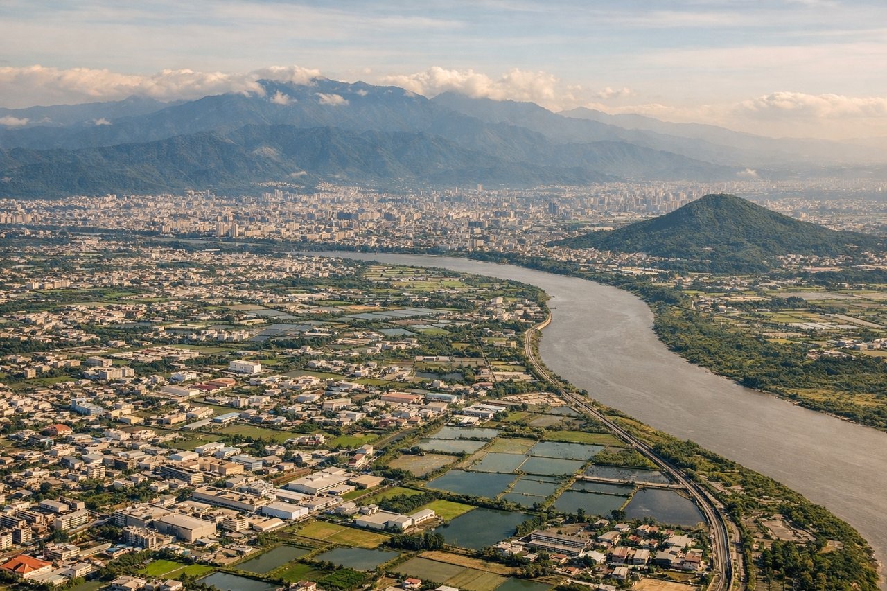
Landing at TPE
LEFTLeft-side seats provide excellent views during descent into Taipei. You'll see the Taipei Basin, the Keelung River valley, and the northern Taiwan coastline with the East China Sea. The approach path brings these features into clear view on the left side.
Will your flight be in sunlight?
Pick a date and time in the Sun Map to watch the sun move across your whole flight.
About This Route
Which side of the plane should I sit on flying from Sendai (SDJ) to Chiang Kai Shek International (TPE)?
Sit on the Left side of the plane for the best views on flights from Sendai to Taipei. While takeoff offers good coastal views on the right, the landing approach on the left provides more dramatic and sustained scenery—the Taipei Basin, river valley, and Taiwan's northern coastline are visually striking and occupy more of the descent phase. Left seats capture the more memorable portion of this route.
What can I see during takeoff from Sendai in Sendai?
During takeoff from Sendai (SDJ), sit on the Right side for the best views. Right-side seats offer views of the Pacific coastline and Sendai Bay as the aircraft climbs northeastward over the Sanriku Coast. You'll see the rocky, indented shoreline and the transition from urban Sendai to open water. Notable sights include: Sendai urban area, Sendai Bay, Sanriku Coast (rocky northern coastline), Pacific Ocean.
What can I see when landing at Chiang Kai Shek International in Taipei?
When landing at Chiang Kai Shek International (TPE), sit on the Left side for the best views. Left-side seats provide excellent views during descent into Taipei. You'll see the Taipei Basin, the Keelung River valley, and the northern Taiwan coastline with the East China Sea. The approach path brings these features into clear view on the left side. Notable sights include: Taipei Basin and urban area, Keelung River valley, northern Taiwan coastline, East China Sea.
How long is the flight from Sendai to Taipei?
The flight from Sendai (SDJ) to Chiang Kai Shek International (TPE) takes about 2 hours 50 minutes. The shortest flight path between them is 1,463 miles (2,354 km); winds and air traffic control usually add a few percent.
What does the Sendai to Taipei flight path pass over?
The flight path crosses the East China Sea directly south from Sendai. Notable features include the Izu Islands (small volcanic islands visible in clear conditions during the first hour), the open waters of the East China Sea with occasional shipping traffic, and the approach to Taiwan's northern coast near Keelung. The Ryukyu Islands lie to the southwest but are typically not on this direct routing. As the aircraft descends toward Taipei, the northern Taiwan mountain ranges become visible, particularly the volcanic peaks near Keelung.