The right side delivers the flight's two most striking visuals — Mount Rainier at departure and the Blue Ridge/Shenandoah Valley at arrival — while the left side offers comparatively flat, unremarkable terrain during both phases.
Flown SEA to IAD? Did we get it right?
Flight Path
Seattle to Washington is 2,300 miles (3,702 km), a flight of about 4 hours 50 minutes.
Route crosses the northern Rocky Mountain front in Montana, the plains of North Dakota and Minnesota, the southern shores of the Great Lakes (Lake Michigan/Huron region), and the Appalachian ridgelines of Pennsylvania and West Virginia before descending into Virginia.
Great circle distance and headings ›


Phase by phase
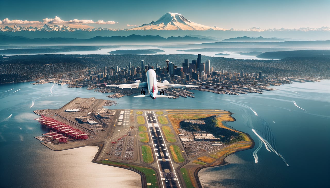
Takeoff from SEA
RIGHTEastbound departures from SEA typically climb out with a turn that puts Mount Rainier squarely on the south (right) side, towering over the Puget Sound lowlands and Tacoma. The left side mostly shows the flatter Cascade foothills and Everett/Skagit farmland, which is far less dramatic.
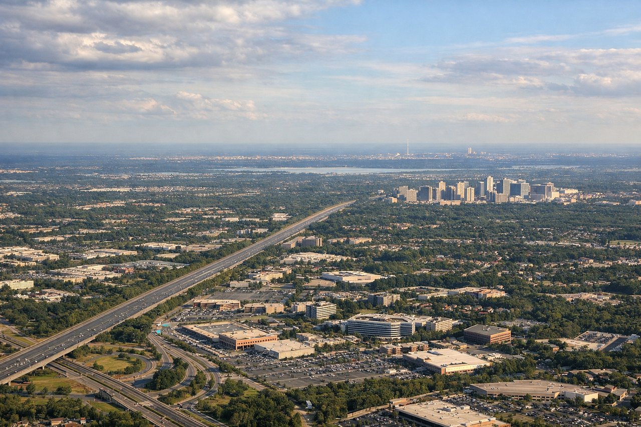
Landing at IAD
RIGHTArriving from the west, the descent into IAD crosses the Blue Ridge Mountains and Shenandoah Valley, features that sit off the right side of the aircraft as it aligns for the north-south runways. The left side during this phase mostly shows flatter Piedmont farmland with fewer distinct landmarks.
Will your flight be in sunlight?
Pick a date and time in the Sun Map to watch the sun move across your whole flight.
About This Route
Which side of the plane should I sit on flying from Seattle Tacoma International (SEA) to Washington Dulles International (IAD)?
Sit on the Right side of the plane for the best views on flights from Seattle to Washington. The right side delivers the flight's two most striking visuals — Mount Rainier at departure and the Blue Ridge/Shenandoah Valley at arrival — while the left side offers comparatively flat, unremarkable terrain during both phases.
What can I see during takeoff from Seattle Tacoma International in Seattle?
During takeoff from Seattle Tacoma International (SEA), sit on the Right side for the best views. Eastbound departures from SEA typically climb out with a turn that puts Mount Rainier squarely on the south (right) side, towering over the Puget Sound lowlands and Tacoma. The left side mostly shows the flatter Cascade foothills and Everett/Skagit farmland, which is far less dramatic. Notable sights include: Mount Rainier, Puget Sound, Tacoma, Cascade foothills.
What can I see when landing at Washington Dulles International in Washington?
When landing at Washington Dulles International (IAD), sit on the Right side for the best views. Arriving from the west, the descent into IAD crosses the Blue Ridge Mountains and Shenandoah Valley, features that sit off the right side of the aircraft as it aligns for the north-south runways. The left side during this phase mostly shows flatter Piedmont farmland with fewer distinct landmarks. Notable sights include: Blue Ridge Mountains, Shenandoah Valley, Virginia Piedmont farmland.
How long is the flight from Seattle to Washington?
The flight from Seattle Tacoma International (SEA) to Washington Dulles International (IAD) takes about 4 hours 50 minutes. The shortest flight path between them is 2,300 miles (3,702 km); winds and air traffic control usually add a few percent.
What does the Seattle to Washington flight path pass over?
Route crosses the northern Rocky Mountain front in Montana, the plains of North Dakota and Minnesota, the southern shores of the Great Lakes (Lake Michigan/Huron region), and the Appalachian ridgelines of Pennsylvania and West Virginia before descending into Virginia.