The right side wins because of the dramatic departure view of Mount Rainier and the Cascades, plus glimpses of the northern Rockies near Montana during cruise — the left side offers mostly flat plains with little topographic interest for most of the flight.
Flown SEA to IND? Did we get it right?
Flight Path
Seattle to Indianapolis is 1,861 miles (2,996 km), a flight of about 3 hours 55 minutes.
The flight's midpoint lies over eastern Montana near the Yellowstone River valley, where the terrain transitions from the northern Rockies' foothills into the Great Plains grasslands before the route flattens out over the Dakotas and Midwest farmland.
Great circle distance and headings ›

Phase by phase
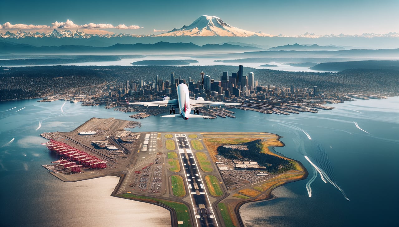
Takeoff from SEA
RIGHTEastbound departures from SEA climb out over Lake Washington and turn east, putting Mount Rainier and the Cascade Range directly on the right side of the aircraft. The left side mostly shows Puget Sound haze and the flatter Snohomish lowlands with less drama.
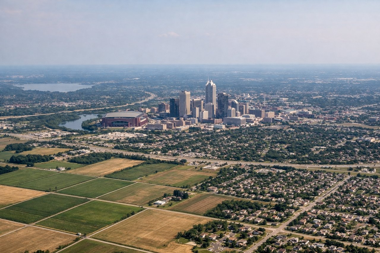
Landing at IND
LEFTOn the turn to final for runway 23 at IND, the aircraft banks over the city's northeast side, briefly putting the low-rise downtown Indianapolis skyline and the White River on the left side of the cabin before the flat farmland final approach.
Will your flight be in sunlight?
Pick a date and time in the Sun Map to watch the sun move across your whole flight.
About This Route
Which side of the plane should I sit on flying from Seattle Tacoma International (SEA) to Indianapolis International (IND)?
Sit on the Right side of the plane for the best views on flights from Seattle to Indianapolis. The right side wins because of the dramatic departure view of Mount Rainier and the Cascades, plus glimpses of the northern Rockies near Montana during cruise — the left side offers mostly flat plains with little topographic interest for most of the flight.
What can I see during takeoff from Seattle Tacoma International in Seattle?
During takeoff from Seattle Tacoma International (SEA), sit on the Right side for the best views. Eastbound departures from SEA climb out over Lake Washington and turn east, putting Mount Rainier and the Cascade Range directly on the right side of the aircraft. The left side mostly shows Puget Sound haze and the flatter Snohomish lowlands with less drama. Notable sights include: Mount Rainier, Lake Washington, Cascade Range foothills, Seattle skyline (fading behind).
What can I see when landing at Indianapolis International in Indianapolis?
When landing at Indianapolis International (IND), sit on the Left side for the best views. On the turn to final for runway 23 at IND, the aircraft banks over the city's northeast side, briefly putting the low-rise downtown Indianapolis skyline and the White River on the left side of the cabin before the flat farmland final approach. Notable sights include: Downtown Indianapolis skyline, White River, checkerboard farmland.
How long is the flight from Seattle to Indianapolis?
The flight from Seattle Tacoma International (SEA) to Indianapolis International (IND) takes about 3 hours 55 minutes. The shortest flight path between them is 1,861 miles (2,996 km); winds and air traffic control usually add a few percent.
What does the Seattle to Indianapolis flight path pass over?
The flight's midpoint lies over eastern Montana near the Yellowstone River valley, where the terrain transitions from the northern Rockies' foothills into the Great Plains grasslands before the route flattens out over the Dakotas and Midwest farmland.