Right-side seats capture the most dramatic scenery: Mount Rainier and the Cascades at takeoff, and the San Gabriel Mountains during descent. While left offers good landing views, the takeoff advantage is more visually striking.
Flown SEA to LGB? Did we get it right?
Flight Path
Seattle to Long Beach is 966 miles (1,555 km), a flight of about 3 hours.
The flight path crosses central California, passing east of San Francisco Bay and the Sierra Nevada foothills. Notable midpoint landmarks include the Central Valley (agricultural flatlands), the Sierra Nevada range visible to the east (especially Mount Whitney region on very clear days), and the Mojave Desert approaching Southern California. The flight typically cruises at 35,000-37,000 feet over inland California, offering views of vast agricultural patchwork and distant mountain ranges.
Great circle distance and headings ›


Phase by phase
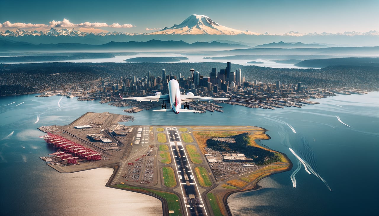
Takeoff from SEA
RIGHTRight-side seats offer immediate views of the Cascade Range and Mount Rainier during the initial climb-out heading south. The left side faces the Puget Sound and Olympic Mountains, which are also scenic but less dramatic at takeoff angles.
Landing at LGB
LEFTLeft-side seats provide excellent views during the descent approach into Long Beach, including the Los Angeles basin, downtown LA skyline, and the San Gabriel Mountains. The right side faces the Pacific Ocean and is less visually interesting for urban and mountain scenery.
Will your flight be in sunlight?
Pick a date and time in the Sun Map to watch the sun move across your whole flight.
About This Route
Which side of the plane should I sit on flying from Seattle Tacoma International (SEA) to Long Beach (LGB)?
Sit on the Right side of the plane for the best views on flights from Seattle to Long Beach. Right-side seats capture the most dramatic scenery: Mount Rainier and the Cascades at takeoff, and the San Gabriel Mountains during descent. While left offers good landing views, the takeoff advantage is more visually striking.
What can I see during takeoff from Seattle Tacoma International in Seattle?
During takeoff from Seattle Tacoma International (SEA), sit on the Right side for the best views. Right-side seats offer immediate views of the Cascade Range and Mount Rainier during the initial climb-out heading south. The left side faces the Puget Sound and Olympic Mountains, which are also scenic but less dramatic at takeoff angles. Notable sights include: Mount Rainier (14,410 ft, visible 50+ miles away on clear days), Cascade Range, Puget Sound, Lake Washington.
What can I see when landing at Long Beach in Long Beach?
When landing at Long Beach (LGB), sit on the Left side for the best views. Left-side seats provide excellent views during the descent approach into Long Beach, including the Los Angeles basin, downtown LA skyline, and the San Gabriel Mountains. The right side faces the Pacific Ocean and is less visually interesting for urban and mountain scenery. Notable sights include: San Gabriel Mountains, Los Angeles downtown skyline, Long Beach harbor and port facilities, Pacific coastline.
How long is the flight from Seattle to Long Beach?
The flight from Seattle Tacoma International (SEA) to Long Beach (LGB) takes about 3 hours. The shortest flight path between them is 966 miles (1,555 km); winds and air traffic control usually add a few percent.
What does the Seattle to Long Beach flight path pass over?
The flight path crosses central California, passing east of San Francisco Bay and the Sierra Nevada foothills. Notable midpoint landmarks include the Central Valley (agricultural flatlands), the Sierra Nevada range visible to the east (especially Mount Whitney region on very clear days), and the Mojave Desert approaching Southern California. The flight typically cruises at 35,000-37,000 feet over inland California, offering views of vast agricultural patchwork and distant mountain ranges.