The right side wins because it captures the Puget Sound and Olympic Mountains on departure and the Pacific coastal approach into Bahía de Banderas on arrival, both dramatic water-and-mountain scenes, while the left side offers mostly inland desert and mountain terrain with less variety.
Flown SEA to PVR? Did we get it right?
Flight Path
Seattle to Puerto Vallarta is 2,081 miles (3,349 km), a flight of about 4 hours 35 minutes.
Sierra Nevada range, Mojave Desert, Gulf of California, Sonoran Desert coastal plains
Great circle distance and headings ›


Phase by phase
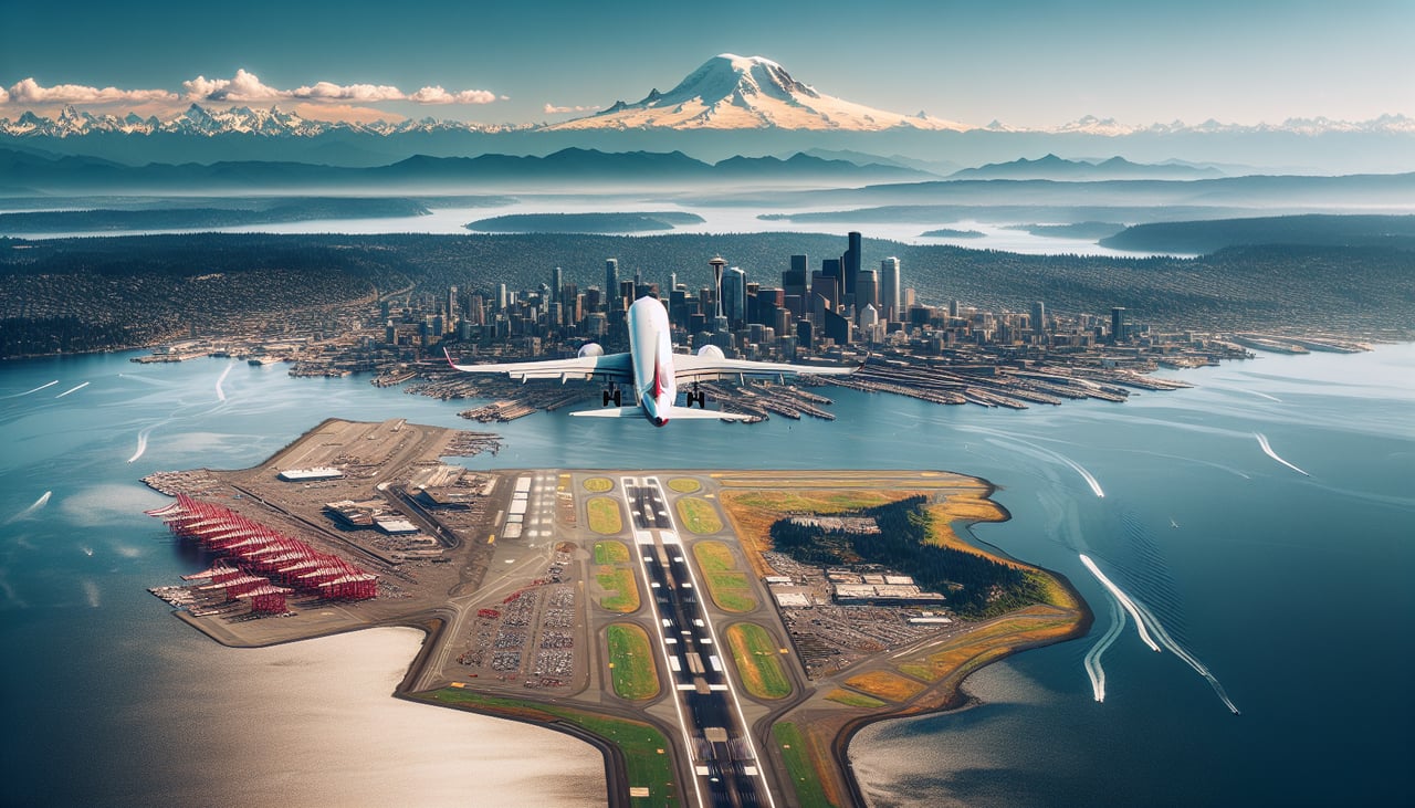
Takeoff from SEA
RIGHTDeparting SEA southbound, the right side looks west over Puget Sound, the Olympic Mountains, and the Kitsap Peninsula, giving a strong mix of water and jagged peaks right after liftoff. The left side only shows the Cascade foothills and suburban Seattle sprawl, which is less dramatic.
Landing at PVR
RIGHTArrivals into PVR commonly approach from over the Pacific on runway 04, so the right side (facing southwest) gets a sweeping view of the Bahía de Banderas, the Pacific coastline, and the resort-lined shore of Puerto Vallarta during the final descent. The left side mostly shows the Sierra Madre Occidental foothills receding inland, which is scenic but less striking than the turquoise bay.
Will your flight be in sunlight?
Pick a date and time in the Sun Map to watch the sun move across your whole flight.
About This Route
Which side of the plane should I sit on flying from Seattle Tacoma International (SEA) to Licenciado Gustavo Diaz Ordaz International (PVR)?
Sit on the Right side of the plane for the best views on flights from Seattle to Puerto Vallarta. The right side wins because it captures the Puget Sound and Olympic Mountains on departure and the Pacific coastal approach into Bahía de Banderas on arrival, both dramatic water-and-mountain scenes, while the left side offers mostly inland desert and mountain terrain with less variety.
What can I see during takeoff from Seattle Tacoma International in Seattle?
During takeoff from Seattle Tacoma International (SEA), sit on the Right side for the best views. Departing SEA southbound, the right side looks west over Puget Sound, the Olympic Mountains, and the Kitsap Peninsula, giving a strong mix of water and jagged peaks right after liftoff. The left side only shows the Cascade foothills and suburban Seattle sprawl, which is less dramatic. Notable sights include: Puget Sound, Olympic Mountains, Elliott Bay, Bainbridge Island.
What can I see when landing at Licenciado Gustavo Diaz Ordaz International in Puerto Vallarta?
When landing at Licenciado Gustavo Diaz Ordaz International (PVR), sit on the Right side for the best views. Arrivals into PVR commonly approach from over the Pacific on runway 04, so the right side (facing southwest) gets a sweeping view of the Bahía de Banderas, the Pacific coastline, and the resort-lined shore of Puerto Vallarta during the final descent. The left side mostly shows the Sierra Madre Occidental foothills receding inland, which is scenic but less striking than the turquoise bay. Notable sights include: Bahía de Banderas, Puerto Vallarta coastline, Marietas Islands area, Sierra Madre Occidental foothills.
How long is the flight from Seattle to Puerto Vallarta?
The flight from Seattle Tacoma International (SEA) to Licenciado Gustavo Diaz Ordaz International (PVR) takes about 4 hours 35 minutes. The shortest flight path between them is 2,081 miles (3,349 km); winds and air traffic control usually add a few percent.
What does the Seattle to Puerto Vallarta flight path pass over?
Sierra Nevada range, Mojave Desert, Gulf of California, Sonoran Desert coastal plains