The right side captures the Seattle skyline and Cascades on departure, then the Canadian Rockies and Alberta foothills on arrival, while the left side mostly shows Puget Sound early on and featureless prairie near Calgary.
Flown SEA to YYC? Did we get it right?
Flight Path
Seattle to Calgary is 452 miles (727 km), a flight of about 2 hours 15 minutes.
The flight path crosses the Cascade Range, the Columbia Mountains and Okanagan Valley of interior British Columbia, and the southern Canadian Rockies near the British Columbia-Alberta border before descending onto the Alberta prairie toward Calgary.
Great circle distance and headings ›


Phase by phase
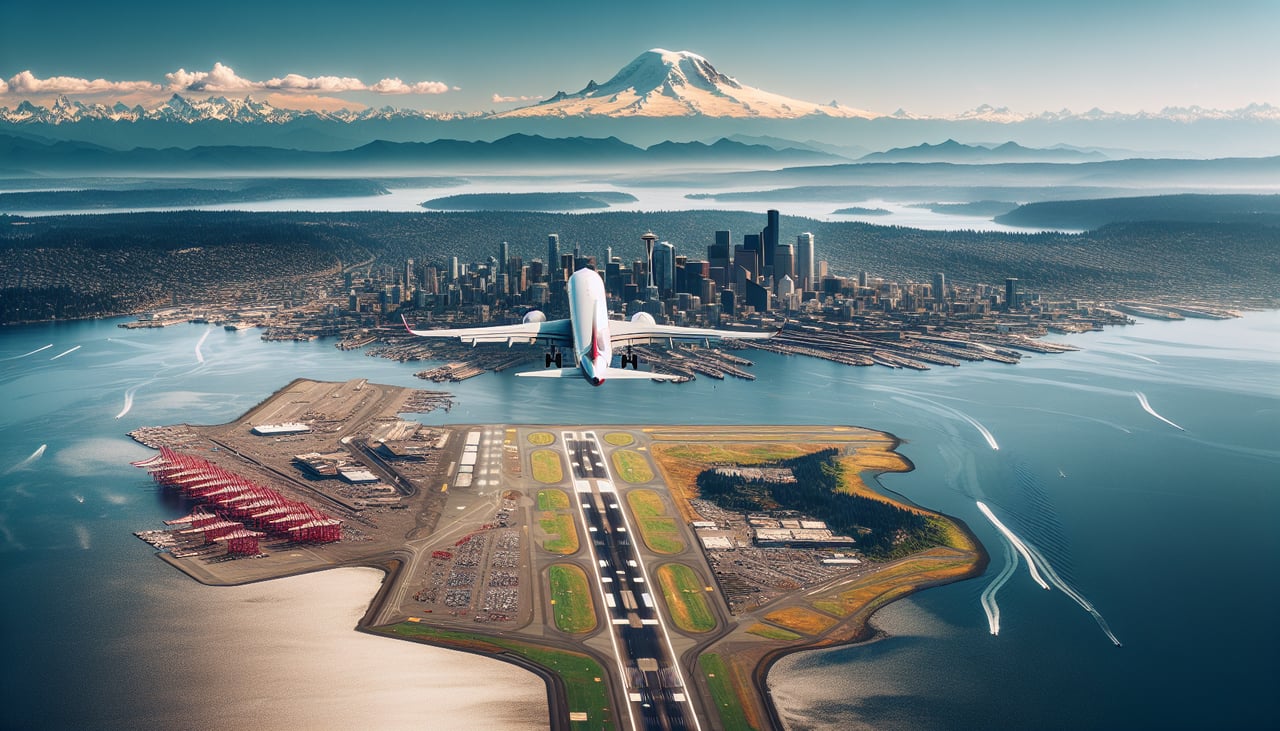
Takeoff from SEA
RIGHTDepartures off SEA's northbound runway require a right turn onto the northeast heading toward Calgary, which swings the Seattle skyline, Lake Washington, and the Cascade foothills into view on the right side. Mount Rainier's snowy summit is often visible in the distance to the southeast as the plane banks.
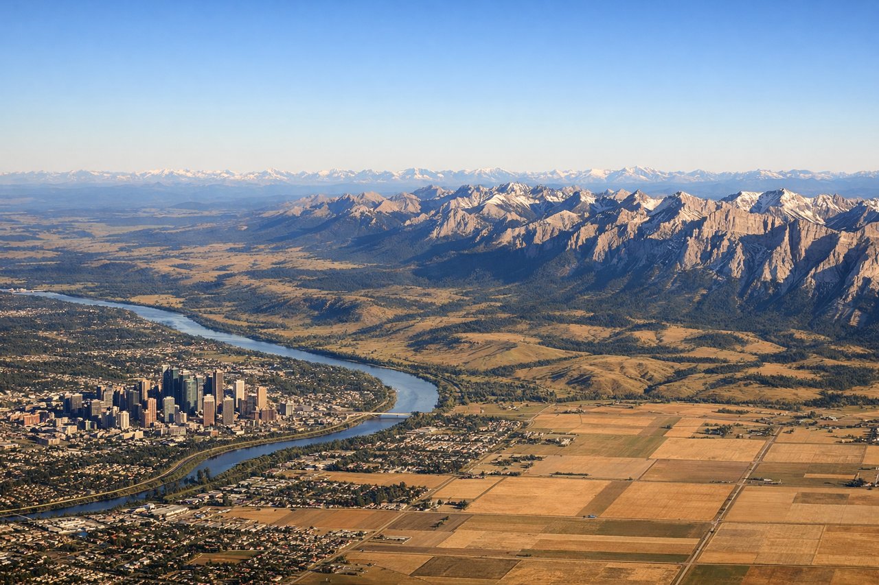
Landing at YYC
RIGHTYYC's southbound landing runway means the final approach turn puts the Canadian Rocky Mountain front range, clearly visible to the west of Calgary, on the right side of the aircraft. Passengers get a strong view of the jagged peaks and foothills before the flat prairie around the airport takes over.
Will your flight be in sunlight?
Pick a date and time in the Sun Map to watch the sun move across your whole flight.
About This Route
Which side of the plane should I sit on flying from Seattle Tacoma International (SEA) to Calgary International (YYC)?
Sit on the Right side of the plane for the best views on flights from Seattle to Calgary. The right side captures the Seattle skyline and Cascades on departure, then the Canadian Rockies and Alberta foothills on arrival, while the left side mostly shows Puget Sound early on and featureless prairie near Calgary.
What can I see during takeoff from Seattle Tacoma International in Seattle?
During takeoff from Seattle Tacoma International (SEA), sit on the Right side for the best views. Departures off SEA's northbound runway require a right turn onto the northeast heading toward Calgary, which swings the Seattle skyline, Lake Washington, and the Cascade foothills into view on the right side. Mount Rainier's snowy summit is often visible in the distance to the southeast as the plane banks. Notable sights include: Downtown Seattle skyline, Lake Washington, Cascade Range foothills, Mount Rainier (distant).
What can I see when landing at Calgary International in Calgary?
When landing at Calgary International (YYC), sit on the Right side for the best views. YYC's southbound landing runway means the final approach turn puts the Canadian Rocky Mountain front range, clearly visible to the west of Calgary, on the right side of the aircraft. Passengers get a strong view of the jagged peaks and foothills before the flat prairie around the airport takes over. Notable sights include: Canadian Rockies front range, Alberta foothills, Bow River valley, Calgary skyline.
How long is the flight from Seattle to Calgary?
The flight from Seattle Tacoma International (SEA) to Calgary International (YYC) takes about 2 hours 15 minutes. The shortest flight path between them is 452 miles (727 km); winds and air traffic control usually add a few percent.
What does the Seattle to Calgary flight path pass over?
The flight path crosses the Cascade Range, the Columbia Mountains and Okanagan Valley of interior British Columbia, and the southern Canadian Rockies near the British Columbia-Alberta border before descending onto the Alberta prairie toward Calgary.