The right side captures the dramatic Mount Rainier view during departure and the Toronto skyline with Lake Ontario during arrival, while the cruise phase over the flat Great Plains and Great Lakes region offers similar scenery on both sides.
Flight Path
Great Plains of Montana and North Dakota, followed by the Great Lakes region including Lake Superior's southern shore and Lake Huron before descent toward Lake Ontario
Great circle distance and headings ›
.jpg?width=600)


Phase by phase
Takeoff from SEA
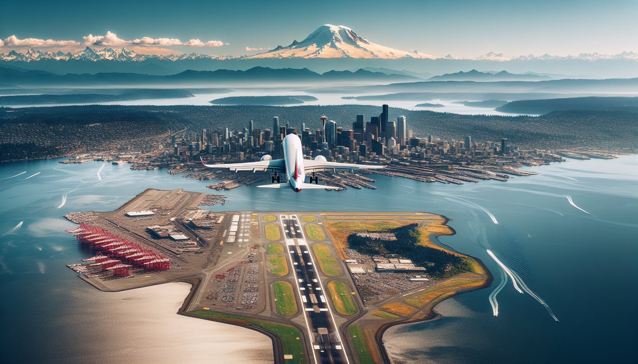
RIGHTDeparting SEA northbound and banking east, the right side offers a clear view of Mount Rainier's snow-capped cone rising above the Cascade foothills, along with the Seattle skyline and Puget Sound waterways during the initial climb.
Landing at YYZ
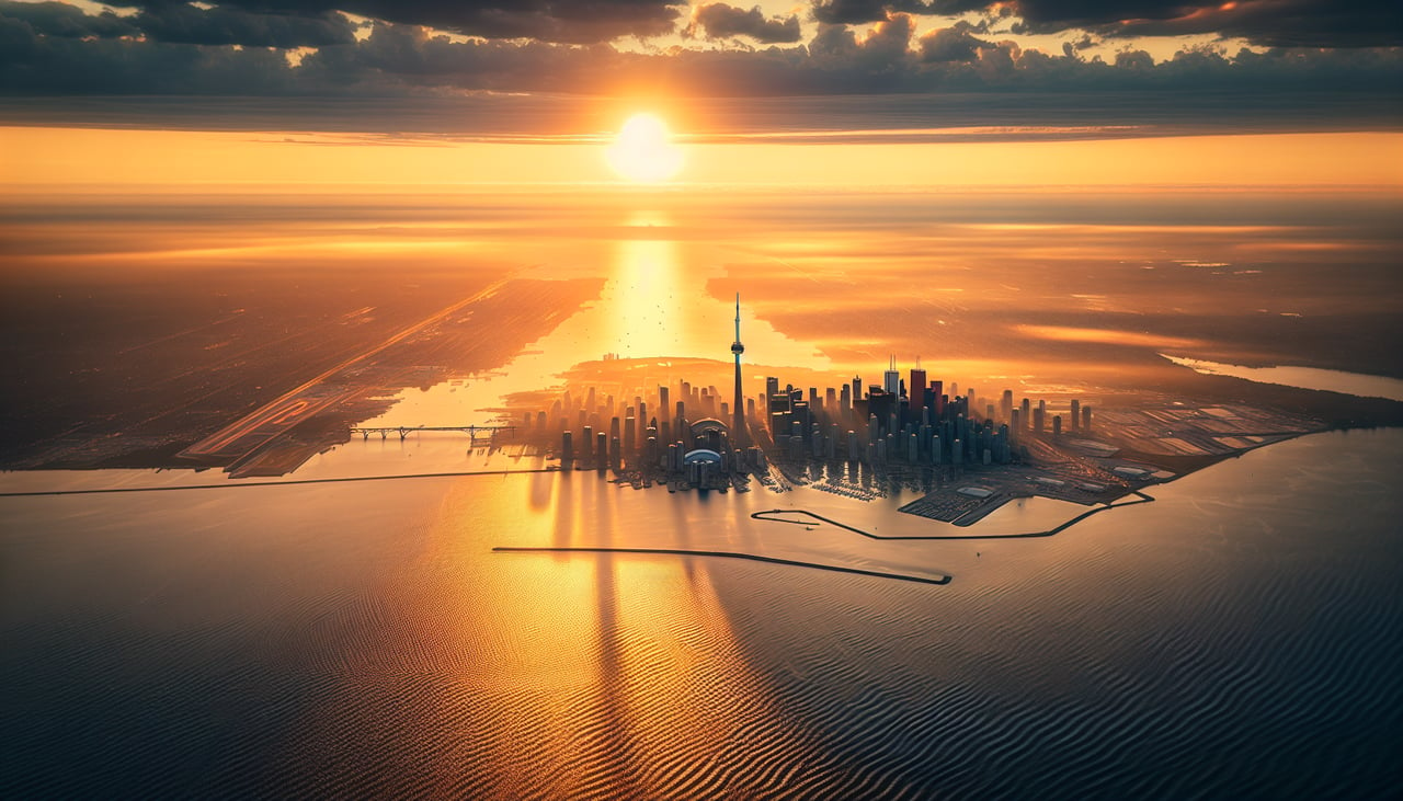
RIGHTOn approach into YYZ from the northeast, the right side gives passengers a view over Lake Ontario's shoreline and the Toronto skyline, including the CN Tower, before the final turn onto the runway.
Landmarks on this routeAll landmarks →
Will your flight be in sunlight?
See exactly which side of the plane gets sun and shade at your departure time.
About This Route
Which side of the plane should I sit on flying from Seattle Tacoma International (SEA) to Lester B Pearson International (YYZ)?
Sit on the Right side of the plane for the best views on flights from Seattle to Toronto. The right side captures the dramatic Mount Rainier view during departure and the Toronto skyline with Lake Ontario during arrival, while the cruise phase over the flat Great Plains and Great Lakes region offers similar scenery on both sides.
What can I see during takeoff from Seattle Tacoma International in Seattle?
During takeoff from Seattle Tacoma International (SEA), sit on the Right side for the best views. Departing SEA northbound and banking east, the right side offers a clear view of Mount Rainier's snow-capped cone rising above the Cascade foothills, along with the Seattle skyline and Puget Sound waterways during the initial climb. Notable sights include: Mount Rainier, Seattle skyline, Puget Sound, Cascade foothills.
What can I see when landing at Lester B Pearson International in Toronto?
When landing at Lester B Pearson International (YYZ), sit on the Right side for the best views. On approach into YYZ from the northeast, the right side gives passengers a view over Lake Ontario's shoreline and the Toronto skyline, including the CN Tower, before the final turn onto the runway. Notable sights include: Toronto skyline, CN Tower, Lake Ontario shoreline, Toronto Islands.
How long is the flight from Seattle to Toronto?
The flight from Seattle Tacoma International (SEA) to Lester B Pearson International (YYZ) takes 4h 15m.
What does the Seattle to Toronto flight path pass over?
Great Plains of Montana and North Dakota, followed by the Great Lakes region including Lake Superior's southern shore and Lake Huron before descent toward Lake Ontario