San Jose to Seattle is 697 miles (1,122 km), a flight of about 2 hours 5 minutes.
The right side tracks closer to the chain of Cascade volcanoes — Mount Shasta's foothills, Mount Hood, Mount St. Helens and Mount Rainier — giving sustained mountain drama through cruise and into the Seattle approach, while the left side is dominated by flatter Central Valley farmland after the brief Bay Area departure view.
Flight Path
Sacramento Valley farmland, Mount Shasta, Klamath Mountains, Crater Lake area, Willamette Valley, Mount Hood
Great circle distance and headings ›


Phase by phase
Takeoff from SJC
LEFTDeparting SJC on runway 30 the aircraft climbs northwest before turning north, giving left-side passengers a receding view of San Francisco Bay, the city's skyline and the Santa Cruz Mountains along the coast. The right side mainly shows the Diablo Range foothills, which are less distinctive.
Landing at SEA
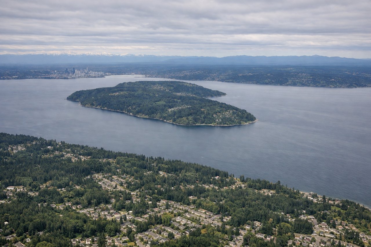
RIGHTOn approach into SEA from the south, the flight path passes east of the direct line, putting Mount Rainier and the southern Cascades on the right side during descent. The left side instead shows the more distant, less dramatic Olympic Mountains across Puget Sound.
Landmarks on this routeAll landmarks →
Will your flight be in sunlight?
Pick a date and time in the Sun Map to watch the sun move across your whole flight.
About This Route
Which side of the plane should I sit on flying from Norman Y Mineta San Jose International (SJC) to Seattle Tacoma International (SEA)?
Sit on the Right side of the plane for the best views on flights from San Jose to Seattle. The right side tracks closer to the chain of Cascade volcanoes — Mount Shasta's foothills, Mount Hood, Mount St. Helens and Mount Rainier — giving sustained mountain drama through cruise and into the Seattle approach, while the left side is dominated by flatter Central Valley farmland after the brief Bay Area departure view.
What can I see during takeoff from Norman Y Mineta San Jose International in San Jose?
During takeoff from Norman Y Mineta San Jose International (SJC), sit on the Left side for the best views. Departing SJC on runway 30 the aircraft climbs northwest before turning north, giving left-side passengers a receding view of San Francisco Bay, the city's skyline and the Santa Cruz Mountains along the coast. The right side mainly shows the Diablo Range foothills, which are less distinctive. Notable sights include: San Francisco Bay, San Francisco skyline, Santa Cruz Mountains, South Bay salt ponds.
What can I see when landing at Seattle Tacoma International in Seattle?
When landing at Seattle Tacoma International (SEA), sit on the Right side for the best views. On approach into SEA from the south, the flight path passes east of the direct line, putting Mount Rainier and the southern Cascades on the right side during descent. The left side instead shows the more distant, less dramatic Olympic Mountains across Puget Sound. Notable sights include: Mount Rainier, Mount St. Helens, Cascade foothills, Puget Sound.
How long is the flight from San Jose to Seattle?
The flight from Norman Y Mineta San Jose International (SJC) to Seattle Tacoma International (SEA) takes about 2 hours 5 minutes. The shortest flight path between them is 697 miles (1,122 km); winds and air traffic control usually add a few percent.
What does the San Jose to Seattle flight path pass over?
Sacramento Valley farmland, Mount Shasta, Klamath Mountains, Crater Lake area, Willamette Valley, Mount Hood