Santa Ana to Seattle is 979 miles (1,576 km), a flight of about 2 hours 45 minutes.
The right side delivers a continuous string of major landmarks through the cruise phase — the Sierra Nevada, Mount Shasta, and the Cascade Range — culminating in a dramatic Mount Rainier view on approach, while the left side's scenery is largely flat Central Valley farmland between the brief coastal takeoff and the Puget Sound arrival.
Flight Path
The route passes east of the California Coast Ranges, tracking up the Central Valley with the Sierra Nevada visible to the east, then crosses near Mount Shasta's volcanic cone at the California-Oregon border before following the Cascade Range north into Oregon and Washington.
Great circle distance and headings ›.jpg?width=600)


Phase by phase
Takeoff from SNA
LEFTSNA's noise-abatement departure heads southwest directly over Newport Beach, giving a brief but scenic look at the harbor, Balboa Island, and the open Pacific with Catalina Island visible offshore before the turn north. The right side at this point only shows flat Orange County suburbs and distant, hazy foothills.
Landing at SEA
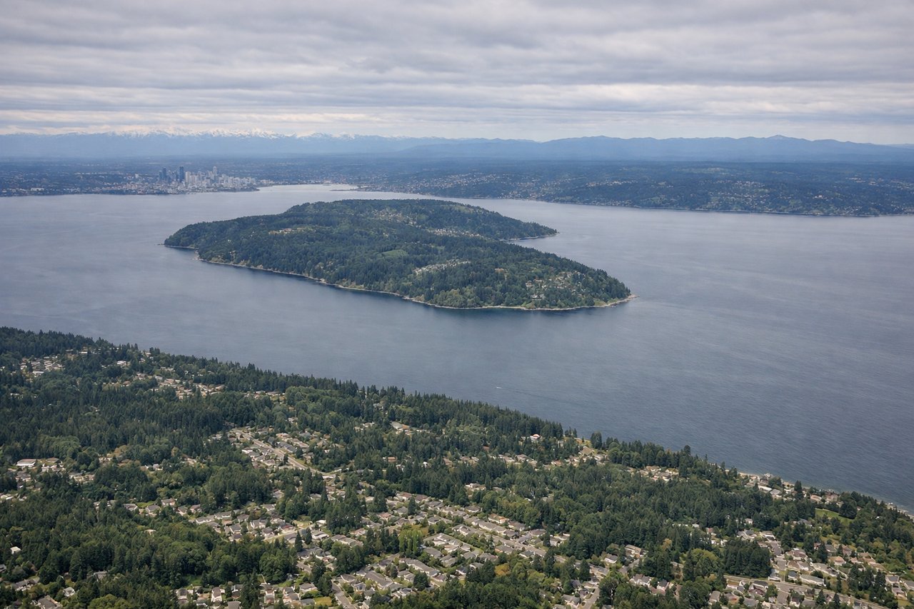
RIGHTOn the descent into SEA from the south, the right side offers a dramatic view of Mount Rainier's snow-capped volcanic cone rising above the forested Cascade foothills, with Lake Washington visible closer to the airport. The left side mainly shows the flatter Kitsap Peninsula and a hazier view of the Olympic Mountains.
Landmarks on this routeAll landmarks →
Will your flight be in sunlight?
Pick a date and time in the Sun Map to watch the sun move across your whole flight.
About This Route
Which side of the plane should I sit on flying from John Wayne Arpt Orange Co (SNA) to Seattle Tacoma International (SEA)?
Sit on the Right side of the plane for the best views on flights from Santa Ana to Seattle. The right side delivers a continuous string of major landmarks through the cruise phase — the Sierra Nevada, Mount Shasta, and the Cascade Range — culminating in a dramatic Mount Rainier view on approach, while the left side's scenery is largely flat Central Valley farmland between the brief coastal takeoff and the Puget Sound arrival.
What can I see during takeoff from John Wayne Arpt Orange Co in Santa Ana?
During takeoff from John Wayne Arpt Orange Co (SNA), sit on the Left side for the best views. SNA's noise-abatement departure heads southwest directly over Newport Beach, giving a brief but scenic look at the harbor, Balboa Island, and the open Pacific with Catalina Island visible offshore before the turn north. The right side at this point only shows flat Orange County suburbs and distant, hazy foothills. Notable sights include: Newport Beach Harbor and Balboa Island, Catalina Island offshore, Palos Verdes Peninsula, Pacific coastline.
What can I see when landing at Seattle Tacoma International in Seattle?
When landing at Seattle Tacoma International (SEA), sit on the Right side for the best views. On the descent into SEA from the south, the right side offers a dramatic view of Mount Rainier's snow-capped volcanic cone rising above the forested Cascade foothills, with Lake Washington visible closer to the airport. The left side mainly shows the flatter Kitsap Peninsula and a hazier view of the Olympic Mountains. Notable sights include: Mount Rainier, Cascade Range foothills, Lake Washington, Green River Valley farmland.
How long is the flight from Santa Ana to Seattle?
The flight from John Wayne Arpt Orange Co (SNA) to Seattle Tacoma International (SEA) takes about 2 hours 45 minutes. The shortest flight path between them is 979 miles (1,576 km); winds and air traffic control usually add a few percent.
What does the Santa Ana to Seattle flight path pass over?
The route passes east of the California Coast Ranges, tracking up the Central Valley with the Sierra Nevada visible to the east, then crosses near Mount Shasta's volcanic cone at the California-Oregon border before following the Cascade Range north into Oregon and Washington.