Tirana to London is 1,158 miles (1,864 km), a flight of about 3 hours 15 minutes.
The takeoff climb-out over the Dinaric Alps and Albanian landscape is more visually dramatic and distinctive than the landing approach. While the landing offers London's urban scale, the Albanian mountains provide more striking natural scenery.
Flight Path
The flight path crosses the Adriatic Sea (central portion of journey), then transitions over southern Italy (Calabria region visible as a narrow peninsula), continues across the Tyrrhenian Sea, and approaches the English Channel. Notable midpoint landmarks include the Italian coastline near the Strait of Messina, the Alps visible to the north (distant), and the Channel crossing with the Normandy coast visible before reaching southern England.
Great circle distance and headings ›


.jpeg?width=600)
Phase by phase
Takeoff from TIA
LEFTLeft side offers immediate views of the Dinaric Alps running north-south, with Lake Ohrid visible to the southeast. Right side faces toward the Adriatic coast but at a lower angle of interest during climb-out.
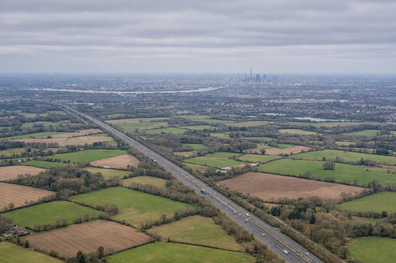
Landing at LGW
RIGHTRight side provides excellent views of the Thames estuary, London's urban sprawl, and the South Downs as the aircraft descends toward Gatwick. Left side faces toward the Weald, which is less visually distinctive.
Landmarks on this routeAll landmarks →
Will your flight be in sunlight?
Pick a date and time in the Sun Map to watch the sun move across your whole flight.
About This Route
Which side of the plane should I sit on flying from Tirana Rinas (TIA) to Gatwick (LGW)?
Sit on the Left side of the plane for the best views on flights from Tirana to London. The takeoff climb-out over the Dinaric Alps and Albanian landscape is more visually dramatic and distinctive than the landing approach. While the landing offers London's urban scale, the Albanian mountains provide more striking natural scenery.
What can I see during takeoff from Tirana Rinas in Tirana?
During takeoff from Tirana Rinas (TIA), sit on the Left side for the best views. Left side offers immediate views of the Dinaric Alps running north-south, with Lake Ohrid visible to the southeast. Right side faces toward the Adriatic coast but at a lower angle of interest during climb-out. Notable sights include: Dinaric Alps (northern ridge), Lake Ohrid (southeast), Tirana city grid (directly below during initial climb), Nemerçka Mountains (east).
What can I see when landing at Gatwick in London?
When landing at Gatwick (LGW), sit on the Right side for the best views. Right side provides excellent views of the Thames estuary, London's urban sprawl, and the South Downs as the aircraft descends toward Gatwick. Left side faces toward the Weald, which is less visually distinctive. Notable sights include: Thames estuary and river bends, Greater London's urban expanse, South Downs ridge (south of London), Gatwick Airport approach corridor.
How long is the flight from Tirana to London?
The flight from Tirana Rinas (TIA) to Gatwick (LGW) takes about 3 hours 15 minutes. The shortest flight path between them is 1,158 miles (1,864 km); winds and air traffic control usually add a few percent.
What does the Tirana to London flight path pass over?
The flight path crosses the Adriatic Sea (central portion of journey), then transitions over southern Italy (Calabria region visible as a narrow peninsula), continues across the Tyrrhenian Sea, and approaches the English Channel. Notable midpoint landmarks include the Italian coastline near the Strait of Messina, the Alps visible to the north (distant), and the Channel crossing with the Normandy coast visible before reaching southern England.