Warsaw to Wroclaw is 190 miles (306 km), a flight of about 50 minutes.
While takeoff offers river views on the left, the landing approach on the right provides more dramatic and distinctive scenery with the Oder River and Wroclaw's urban geography. The right side captures the most visually interesting portion of this short flight.
Flight Path
Mazovian plains transitioning to Silesian lowlands; Bzura River tributary system; scattered towns and agricultural patchwork; no significant mountain ranges visible at cruise altitude; terrain remains consistently flat throughout the 200 km route
Great circle distance and headings ›Phase by phase
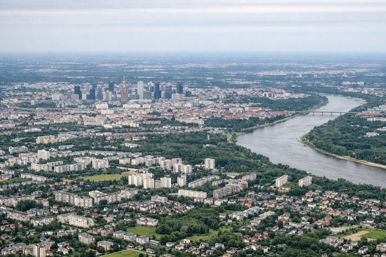
Takeoff from WAW
LEFTLeft side offers views of the Vistula River valley as it flows south from Warsaw, plus the flat agricultural plains of Mazovia extending westward. Right side faces industrial suburbs and offers less distinctive scenery.
Landing at WRO
RIGHTRight side provides views of the Oder River valley and the approach to Wroclaw from the east. The river's distinctive curves and the surrounding lowland terrain are clearly visible during descent. Left side shows less geographically distinctive features.
Will your flight be in sunlight?
Pick a date and time in the Sun Map to watch the sun move across your whole flight.
About This Route
Which side of the plane should I sit on flying from Okecie (WAW) to Strachowice (WRO)?
Sit on the Right side of the plane for the best views on flights from Warsaw to Wroclaw. While takeoff offers river views on the left, the landing approach on the right provides more dramatic and distinctive scenery with the Oder River and Wroclaw's urban geography. The right side captures the most visually interesting portion of this short flight.
What can I see during takeoff from Okecie in Warsaw?
During takeoff from Okecie (WAW), sit on the Left side for the best views. Left side offers views of the Vistula River valley as it flows south from Warsaw, plus the flat agricultural plains of Mazovia extending westward. Right side faces industrial suburbs and offers less distinctive scenery. Notable sights include: Vistula River (meandering south), Mazovian plains, Warsaw city sprawl receding behind, Modlin Airport area to the northwest.
What can I see when landing at Strachowice in Wroclaw?
When landing at Strachowice (WRO), sit on the Right side for the best views. Right side provides views of the Oder River valley and the approach to Wroclaw from the east. The river's distinctive curves and the surrounding lowland terrain are clearly visible during descent. Left side shows less geographically distinctive features. Notable sights include: Oder River (major landmark with visible meanders), Wroclaw city center and Ostrów Tumski island, surrounding Silesian plains, Oder floodplain wetlands.
How long is the flight from Warsaw to Wroclaw?
The flight from Okecie (WAW) to Strachowice (WRO) takes about 50 minutes. The shortest flight path between them is 190 miles (306 km); winds and air traffic control usually add a few percent.
What does the Warsaw to Wroclaw flight path pass over?
Mazovian plains transitioning to Silesian lowlands; Bzura River tributary system; scattered towns and agricultural patchwork; no significant mountain ranges visible at cruise altitude; terrain remains consistently flat throughout the 200 km route