Left seats capture the more dramatic geography: the Strait of Johor departure, then the entire Penang Channel crossing during descent. While landing favors the right, the takeoff advantage and the extended channel view during approach make left the stronger choice overall.
Flight Path
The flight path crosses the Strait of Malacca's northern approaches. You'll pass over the Kedah coast and its offshore islands (Langkawi visible to the northwest if weather permits), then descend toward Penang Channel. The coastline transitions from Singapore's industrial zones through Malaysia's mangrove-dominated shores to Penang's more developed western coast. Haze and maritime cloud cover are typical; visibility is usually 10-15 miles in equatorial conditions.
Great circle distance and headings ›Phase by phase
Takeoff from XSP
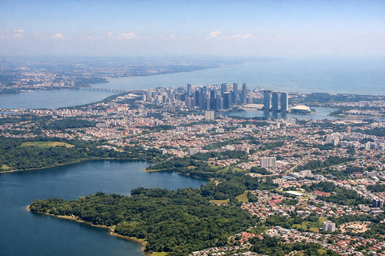
LEFTSeletar typically departs northwestward (Runway 03/21, favoring 03 for northbound traffic). Left seats face the Strait of Johor and the Johor mainland as you climb, with clear views of the water body separating Singapore from Malaysia.
Landing at PEN
RIGHTPenang International uses Runway 09/27, with northbound arrivals typically on Runway 09 (heading east). Right seats face the Penang Channel and the Kedah coastline during descent. You'll see the strait's geography and approach over water before landing.
Landmarks on this routeAll landmarks →
Will your flight be in sunlight?
See exactly which side of the plane gets sun and shade at your departure time.
About This Route
Which side of the plane should I sit on flying from Seletar (XSP) to Penang International (PEN)?
Sit on the Left side of the plane for the best views on flights from Singapore to Penang. Left seats capture the more dramatic geography: the Strait of Johor departure, then the entire Penang Channel crossing during descent. While landing favors the right, the takeoff advantage and the extended channel view during approach make left the stronger choice overall.
What can I see during takeoff from Seletar in Singapore?
During takeoff from Seletar (XSP), sit on the Left side for the best views. Seletar typically departs northwestward (Runway 03/21, favoring 03 for northbound traffic). Left seats face the Strait of Johor and the Johor mainland as you climb, with clear views of the water body separating Singapore from Malaysia. Notable sights include: Strait of Johor, Johor Bahru city area, mangrove-lined coastline, causeway infrastructure.
What can I see when landing at Penang International in Penang?
When landing at Penang International (PEN), sit on the Right side for the best views. Penang International uses Runway 09/27, with northbound arrivals typically on Runway 09 (heading east). Right seats face the Penang Channel and the Kedah coastline during descent. You'll see the strait's geography and approach over water before landing. Notable sights include: Penang Channel (Selat Pulau Pinang), Kedah mainland coast, Penang island's eastern shore, mangrove estuaries.
How long is the flight from Singapore to Penang?
The flight from Seletar (XSP) to Penang International (PEN) takes Approximately 1 hour 15 minutes.
What does the Singapore to Penang flight path pass over?
The flight path crosses the Strait of Malacca's northern approaches. You'll pass over the Kedah coast and its offshore islands (Langkawi visible to the northwest if weather permits), then descend toward Penang Channel. The coastline transitions from Singapore's industrial zones through Malaysia's mangrove-dominated shores to Penang's more developed western coast. Haze and maritime cloud cover are typical; visibility is usually 10-15 miles in equatorial conditions.