While the takeoff offers some regional interest, the landing approach on the right side delivers superior scenery with the dramatic North Shore Mountains and Cascade Range framing the final descent into Vancouver. The mountain views on approach significantly outweigh the modest takeoff landscape.
Flight Path
Lake Superior's northern shoreline (visible around 2.5 hours into flight), the Canadian Shield's rocky terrain and countless lakes across northern Ontario and Manitoba, the transition from boreal forest to prairie as the flight crosses into Saskatchewan, the Canadian Rockies beginning to appear on the western horizon in the final hour of flight
Great circle distance and headings ›

.jpg?width=600)

Phase by phase
Takeoff from YKF
LEFTLeft side offers views of the Grand River valley and early glimpses of the Ontario landscape as the aircraft climbs westward. Right side faces toward Lake Ontario, but it's distant and less distinctive during initial climb from Waterloo Regional.
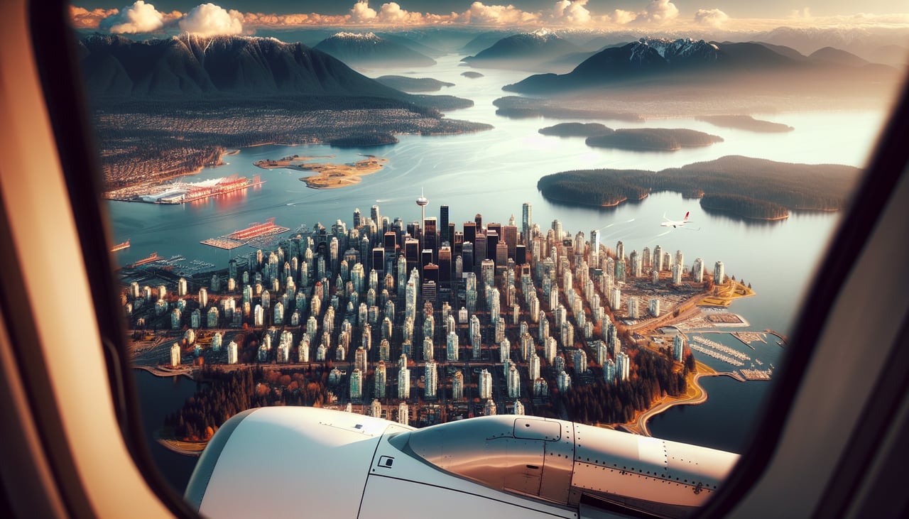
Landing at YVR
RIGHTRight side provides excellent views of the North Shore Mountains and the approach into Vancouver from the east. The Cascade Range and local peaks frame the descent, and you'll see the Fraser River valley opening up before touchdown at YVR.
Landmarks on this routeAll landmarks →
Will your flight be in sunlight?
See exactly which side of the plane gets sun and shade at your departure time.
About This Route
Which side of the plane should I sit on flying from Waterloo Rgnl (YKF) to Vancouver International (YVR)?
Sit on the Right side of the plane for the best views on flights from Waterloo to Vancouver. While the takeoff offers some regional interest, the landing approach on the right side delivers superior scenery with the dramatic North Shore Mountains and Cascade Range framing the final descent into Vancouver. The mountain views on approach significantly outweigh the modest takeoff landscape.
What can I see during takeoff from Waterloo Rgnl in Waterloo?
During takeoff from Waterloo Rgnl (YKF), sit on the Left side for the best views. Left side offers views of the Grand River valley and early glimpses of the Ontario landscape as the aircraft climbs westward. Right side faces toward Lake Ontario, but it's distant and less distinctive during initial climb from Waterloo Regional. Notable sights include: Grand River valley, Greater Toronto Area urban sprawl to the southeast, Lake Ontario on the distant horizon, Niagara Escarpment ridge line.
What can I see when landing at Vancouver International in Vancouver?
When landing at Vancouver International (YVR), sit on the Right side for the best views. Right side provides excellent views of the North Shore Mountains and the approach into Vancouver from the east. The Cascade Range and local peaks frame the descent, and you'll see the Fraser River valley opening up before touchdown at YVR. Notable sights include: North Shore Mountains (including Mount Seymour and Grouse Mountain), Cascade Range to the east, Fraser River valley, Strait of Georgia.
How long is the flight from Waterloo to Vancouver?
The flight from Waterloo Rgnl (YKF) to Vancouver International (YVR) takes 4h 50m.
What does the Waterloo to Vancouver flight path pass over?
Lake Superior's northern shoreline (visible around 2.5 hours into flight), the Canadian Shield's rocky terrain and countless lakes across northern Ontario and Manitoba, the transition from boreal forest to prairie as the flight crosses into Saskatchewan, the Canadian Rockies beginning to appear on the western horizon in the final hour of flight