The right side delivers a continuous scenic thread: the Canadian Rockies at takeoff, the Montana Rockies and Sierra Nevada during cruise, and the Golden Gate Bridge and San Francisco skyline on approach, while the left side stays over comparatively featureless plains and East Bay suburbs.
Flight Path
Route passes near the Montana Rockies around Glacier National Park, over the Idaho and Nevada basin-and-range desert terrain, and past the Sierra Nevada near Lake Tahoe before descending into the San Francisco Bay Area.
Great circle distance and headings ›
.jpg?width=600)

Phase by phase
Takeoff from YYC
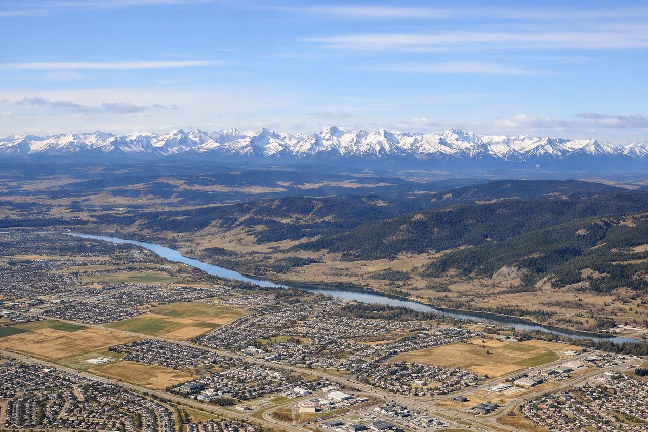
RIGHTNoise-abatement departures from YYC head north before turning south toward SFO, and as the aircraft banks onto its southbound heading, the Canadian Rockies front range near Banff and Kananaskis become visible off the right side. The left side mostly shows the flat prairie stretching east of Calgary.
Landing at SFO
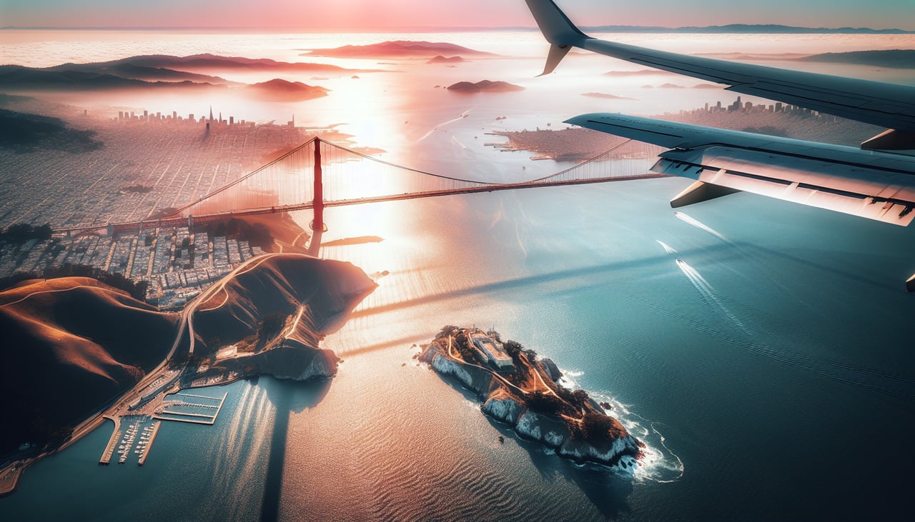
RIGHTArrivals into SFO from the north typically curve down over the Bay Area, and on the final descent the right side offers views of the Golden Gate Bridge, San Francisco's skyline, and the Pacific coastline before the turn onto final approach. The left side mainly faces the East Bay hills and Oakland with less distinctive scenery.
Landmarks on this routeAll landmarks →
Will your flight be in sunlight?
See exactly which side of the plane gets sun and shade at your departure time.
About This Route
Which side of the plane should I sit on flying from Calgary International (YYC) to San Francisco International (SFO)?
Sit on the Right side of the plane for the best views on flights from Calgary to San Francisco. The right side delivers a continuous scenic thread: the Canadian Rockies at takeoff, the Montana Rockies and Sierra Nevada during cruise, and the Golden Gate Bridge and San Francisco skyline on approach, while the left side stays over comparatively featureless plains and East Bay suburbs.
What can I see during takeoff from Calgary International in Calgary?
During takeoff from Calgary International (YYC), sit on the Right side for the best views. Noise-abatement departures from YYC head north before turning south toward SFO, and as the aircraft banks onto its southbound heading, the Canadian Rockies front range near Banff and Kananaskis become visible off the right side. The left side mostly shows the flat prairie stretching east of Calgary. Notable sights include: Canadian Rockies front range, Bow Valley foothills, Mount Rundle area, Calgary's western suburbs.
What can I see when landing at San Francisco International in San Francisco?
When landing at San Francisco International (SFO), sit on the Right side for the best views. Arrivals into SFO from the north typically curve down over the Bay Area, and on the final descent the right side offers views of the Golden Gate Bridge, San Francisco's skyline, and the Pacific coastline before the turn onto final approach. The left side mainly faces the East Bay hills and Oakland with less distinctive scenery. Notable sights include: Golden Gate Bridge, San Francisco skyline, San Francisco Bay, Pacific coastline near Point Reyes.
How long is the flight from Calgary to San Francisco?
The flight from Calgary International (YYC) to San Francisco International (SFO) takes 2h 55m.
What does the Calgary to San Francisco flight path pass over?
Route passes near the Montana Rockies around Glacier National Park, over the Idaho and Nevada basin-and-range desert terrain, and past the Sierra Nevada near Lake Tahoe before descending into the San Francisco Bay Area.