The left side wins on both ends: dramatic Alaska Range and Cook Inlet views on departure, and Puget Sound with the Seattle skyline and Olympic Mountains on arrival. The right side offers decent but less varied mountain views during the cruise portion over British Columbia.
Flight Path
The route crosses the Coast Mountains of British Columbia, the Inside Passage fjords and islands, and Vancouver Island before descending into the Puget Sound lowlands.
Great circle distance and headings ›

Phase by phase
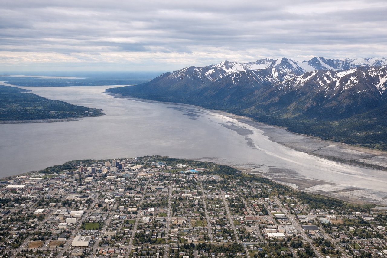
Takeoff from ANC
LEFTDeparting ANC southbound, the left side has views of Cook Inlet and the Chugach Mountains, plus Mount Susitna and the Alaska Range peaks including Denali on clear days as the plane climbs out. The right side mostly shows the Chugach front range closer to the cabin but less expansive terrain.
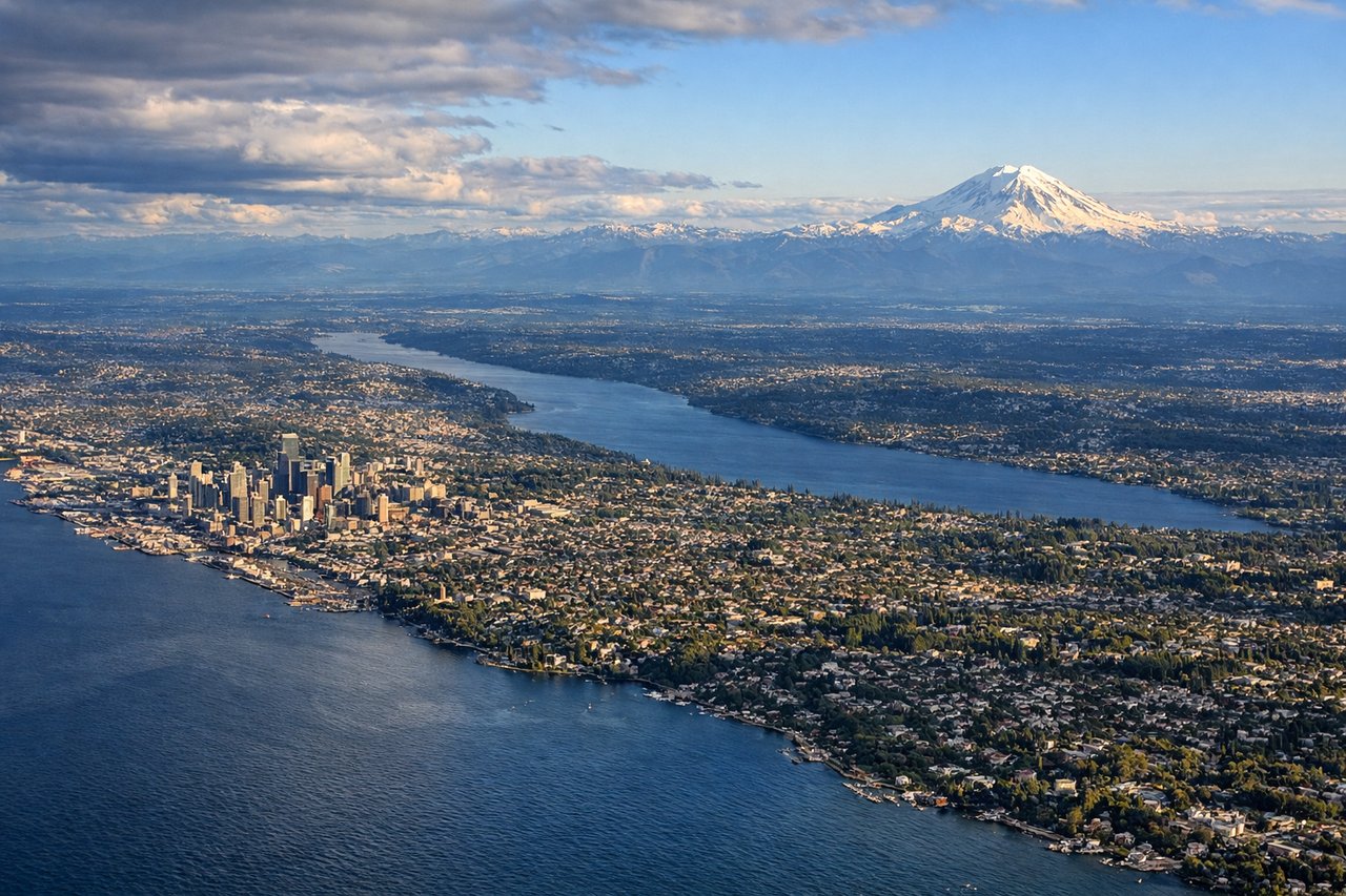
Landing at SEA
LEFTOn approach to SEA from the north, the left side offers views of Puget Sound, the Seattle skyline, and the Olympic Mountains beyond the water. The right side during descent mainly shows the Cascade foothills, which are less visually striking during final approach.
Landmarks on this routeAll landmarks →
Will your flight be in sunlight?
See exactly which side of the plane gets sun and shade at your departure time.
About This Route
Which side of the plane should I sit on flying from Ted Stevens Anchorage International (ANC) to Seattle Tacoma International (SEA)?
Sit on the Left side of the plane for the best views on flights from Anchorage to Seattle. The left side wins on both ends: dramatic Alaska Range and Cook Inlet views on departure, and Puget Sound with the Seattle skyline and Olympic Mountains on arrival. The right side offers decent but less varied mountain views during the cruise portion over British Columbia.
What can I see during takeoff from Ted Stevens Anchorage International in Anchorage?
During takeoff from Ted Stevens Anchorage International (ANC), sit on the Left side for the best views. Departing ANC southbound, the left side has views of Cook Inlet and the Chugach Mountains, plus Mount Susitna and the Alaska Range peaks including Denali on clear days as the plane climbs out. The right side mostly shows the Chugach front range closer to the cabin but less expansive terrain. Notable sights include: Cook Inlet, Chugach Mountains, Mount Susitna, Denali (Alaska Range) on clear days.
What can I see when landing at Seattle Tacoma International in Seattle?
When landing at Seattle Tacoma International (SEA), sit on the Left side for the best views. On approach to SEA from the north, the left side offers views of Puget Sound, the Seattle skyline, and the Olympic Mountains beyond the water. The right side during descent mainly shows the Cascade foothills, which are less visually striking during final approach. Notable sights include: Puget Sound, Seattle skyline and Elliott Bay, Olympic Mountains, Vashon Island.
How long is the flight from Anchorage to Seattle?
The flight from Ted Stevens Anchorage International (ANC) to Seattle Tacoma International (SEA) takes 3h 25m.
What does the Anchorage to Seattle flight path pass over?
The route crosses the Coast Mountains of British Columbia, the Inside Passage fjords and islands, and Vancouver Island before descending into the Puget Sound lowlands.