While takeoff favors the right for Narmada River views, the landing approach offers more dramatic and varied scenery with Thane Creek, Bombay Harbor, and the Arabian Sea coastline. The landing experience outweighs the takeoff advantage.
Flown BDQ to BOM? Did we get it right?
Flight Path
Baroda to Bombay is 226 miles (363 km), a flight of about 1 hour 15 minutes.
The flight path crosses the agricultural plains of central Gujarat and southern Gujarat, passing over or near the Mahi River valley (approximately 50 km south of Vadodara), then transitions into the coastal plains approaching Bombay. The Western Ghats foothills remain visible to the south throughout much of the flight, appearing as a distant ridge. No major mountain passes or dramatic terrain features are crossed; the route follows relatively flat to gently rolling terrain typical of the Gujarat-Maharashtra border region.
Great circle distance and headings ›Phase by phase
Takeoff from BDQ
RIGHTRight-side seats offer views of the Narmada River valley and agricultural plains stretching southwest toward Bombay. The initial climb-out heads southwest, placing the river and surrounding terrain directly to the right.
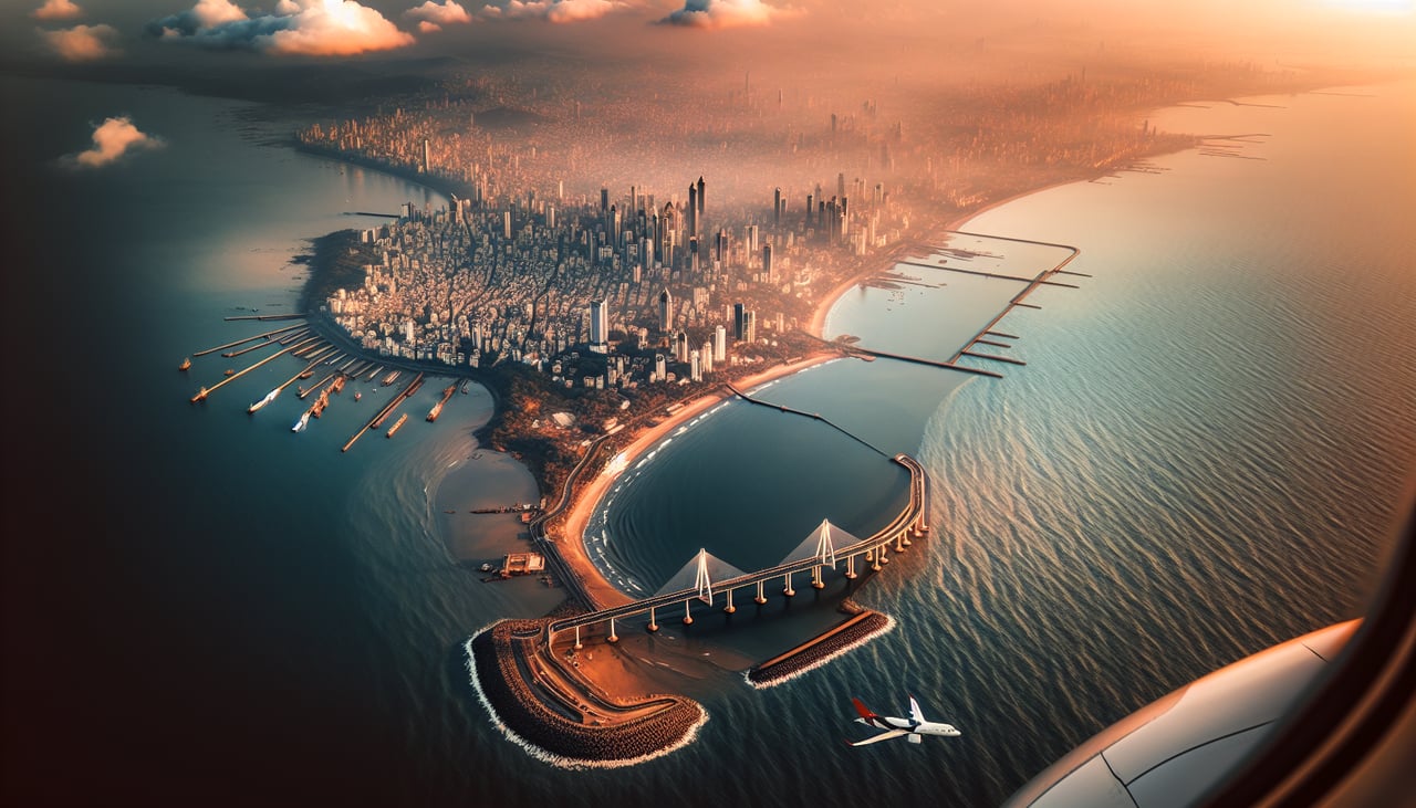
Landing at BOM
LEFTLeft-side seats provide excellent views during descent into Bombay, including the Thane Creek, Bombay Harbor, and the coastal approach. The standard descent path brings the aircraft over the eastern suburbs and harbor from the north, placing these features prominently to the left.
Will your flight be in sunlight?
Pick a date and time in the Sun Map to watch the sun move across your whole flight.
About This Route
Which side of the plane should I sit on flying from Vadodara (BDQ) to Chhatrapati Shivaji International (BOM)?
Sit on the Left side of the plane for the best views on flights from Baroda to Bombay. While takeoff favors the right for Narmada River views, the landing approach offers more dramatic and varied scenery with Thane Creek, Bombay Harbor, and the Arabian Sea coastline. The landing experience outweighs the takeoff advantage.
What can I see during takeoff from Vadodara in Baroda?
During takeoff from Vadodara (BDQ), sit on the Right side for the best views. Right-side seats offer views of the Narmada River valley and agricultural plains stretching southwest toward Bombay. The initial climb-out heads southwest, placing the river and surrounding terrain directly to the right. Notable sights include: Narmada River (visible as a linear water feature cutting through the plain), Vadodara city grid (urban sprawl directly below during initial climb), agricultural fields and irrigation channels (patchwork pattern in surrounding districts), distant Western Ghats foothills (faint ridge on the horizon to the south).
What can I see when landing at Chhatrapati Shivaji International in Bombay?
When landing at Chhatrapati Shivaji International (BOM), sit on the Left side for the best views. Left-side seats provide excellent views during descent into Bombay, including the Thane Creek, Bombay Harbor, and the coastal approach. The standard descent path brings the aircraft over the eastern suburbs and harbor from the north, placing these features prominently to the left. Notable sights include: Thane Creek (tidal estuary visible as a wide water body with mangrove-lined shores), Bombay Harbor and the Arabian Sea coastline (sparkling water body with shipping visible), Eastern suburbs of Greater Bombay (dense urban sprawl including Thane and Navi Mumbai), Salsette Island and the city's northern districts (urban grid meeting the coast).
How long is the flight from Baroda to Bombay?
The flight from Vadodara (BDQ) to Chhatrapati Shivaji International (BOM) takes about 1 hour 15 minutes. The shortest flight path between them is 226 miles (363 km); winds and air traffic control usually add a few percent.
What does the Baroda to Bombay flight path pass over?
The flight path crosses the agricultural plains of central Gujarat and southern Gujarat, passing over or near the Mahi River valley (approximately 50 km south of Vadodara), then transitions into the coastal plains approaching Bombay. The Western Ghats foothills remain visible to the south throughout much of the flight, appearing as a distant ridge. No major mountain passes or dramatic terrain features are crossed; the route follows relatively flat to gently rolling terrain typical of the Gujarat-Maharashtra border region.