The right side captures the most visually distinctive features across the entire flight path: the Narmada River valley and Satpura foothills during climb-out, and the transition through central India's plateau terrain. However, landing views favor the left. Right edges out for the majority of the scenic flight.
Flown BDQ to DEL? Did we get it right?
Flight Path
Baroda to Delhi is 493 miles (793 km), a flight of about 1 hour 15 minutes.
The flight path crosses the Malwa Plateau (central Madhya Pradesh), characterized by rolling terrain and scattered agricultural fields. The Chambal River valley may be visible to the east during cruise, appearing as a darker linear feature cutting through the plateau. The landscape transitions from Gujarat's western plains to the drier, more undulating terrain of Madhya Pradesh, with sparse vegetation and occasional small towns visible as clusters of buildings.
Great circle distance and headings ›Phase by phase
Takeoff from BDQ
RIGHTClimbing northeastward from Vadodara, the right side offers views of the Narmada River valley and the Satpura Range foothills. The left side faces the Deccan Plateau interior with fewer distinctive features.
Landing at DEL
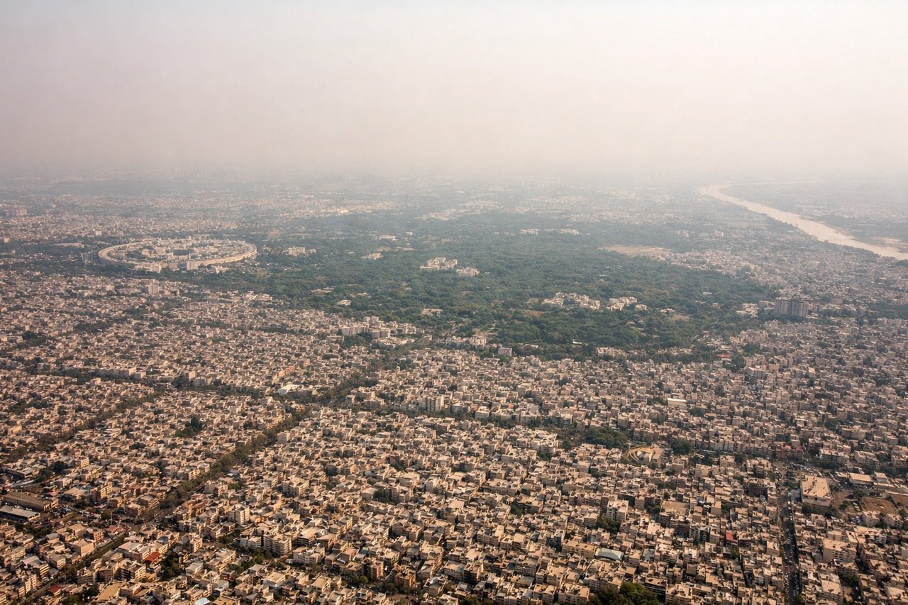
LEFTOn descent into Delhi from the southwest, the left side provides clear views of the Yamuna River, Delhi's urban sprawl, and the ridge formations that define the city's geography. The right side faces less distinctive terrain.
Will your flight be in sunlight?
Pick a date and time in the Sun Map to watch the sun move across your whole flight.
About This Route
Which side of the plane should I sit on flying from Vadodara (BDQ) to Indira Gandhi International (DEL)?
Sit on the Right side of the plane for the best views on flights from Baroda to Delhi. The right side captures the most visually distinctive features across the entire flight path: the Narmada River valley and Satpura foothills during climb-out, and the transition through central India's plateau terrain. However, landing views favor the left. Right edges out for the majority of the scenic flight.
What can I see during takeoff from Vadodara in Baroda?
During takeoff from Vadodara (BDQ), sit on the Right side for the best views. Climbing northeastward from Vadodara, the right side offers views of the Narmada River valley and the Satpura Range foothills. The left side faces the Deccan Plateau interior with fewer distinctive features. Notable sights include: Narmada River (flowing northwest through the valley below), Satpura Range (low forested hills on the horizon to the northeast), Vadodara city grid (receding beneath the aircraft), agricultural plains of Gujarat (extending westward).
What can I see when landing at Indira Gandhi International in Delhi?
When landing at Indira Gandhi International (DEL), sit on the Left side for the best views. On descent into Delhi from the southwest, the left side provides clear views of the Yamuna River, Delhi's urban sprawl, and the ridge formations that define the city's geography. The right side faces less distinctive terrain. Notable sights include: Yamuna River (meandering through Delhi), Delhi Ridge (low forested hills running north-south through the city), Indira Gandhi International Airport (visible as runways and taxiways in the final approach), Delhi's urban districts (Dwarka, Palam, and central city grid).
How long is the flight from Baroda to Delhi?
The flight from Vadodara (BDQ) to Indira Gandhi International (DEL) takes about 1 hour 15 minutes. The shortest flight path between them is 493 miles (793 km); winds and air traffic control usually add a few percent.
What does the Baroda to Delhi flight path pass over?
The flight path crosses the Malwa Plateau (central Madhya Pradesh), characterized by rolling terrain and scattered agricultural fields. The Chambal River valley may be visible to the east during cruise, appearing as a darker linear feature cutting through the plateau. The landscape transitions from Gujarat's western plains to the drier, more undulating terrain of Madhya Pradesh, with sparse vegetation and occasional small towns visible as clusters of buildings.