Left side scores higher due to the dramatic Beartooth and Absaroka Mountains visible during takeoff from Billings, providing genuine terrain variety and landmark density. While the landing approach into Minneapolis is slightly more urban-scenic on the right, the takeoff experience from Billings—a mountain-adjacent airport—tips the overall advantage to the left. The flight path crosses relatively flat Great Plains for most of cruise, limiting both sides' mid-flight appeal, but the western departure is more visually rewarding than the eastern arrival.
Flown BIL to MSP? Did we get it right?
Flight Path
Billings to Minneapolis is 746 miles (1,200 km), a flight of about 2 hours 10 minutes.
Powder River Basin (eastern Wyoming), Black Hills (South Dakota-Wyoming border, visible as distant ridge), Missouri River valley (central South Dakota), Des Moines area (Iowa), rolling terrain transitions from high plains to agricultural Midwest
Great circle distance and headings ›Phase by phase
Takeoff from BIL
LEFTLeft side captures the Beartooth Mountains and Absaroka Range during climb-out from Billings, providing immediate terrain drama. Right side faces open prairie with minimal visual interest during departure.
Landing at MSP
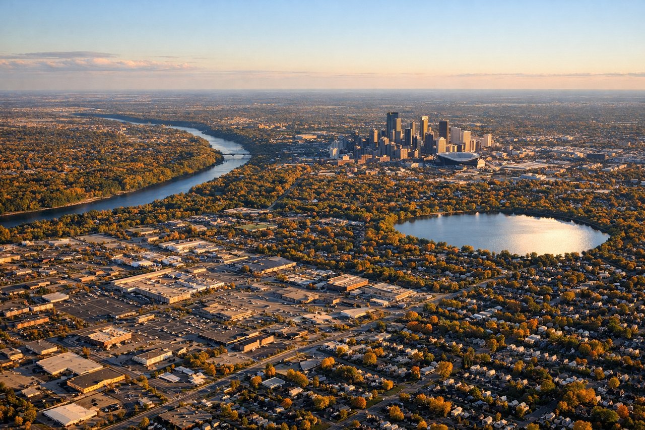
RIGHTRight side offers the Minnesota River valley approach and Mississippi River confluence near Minneapolis, plus the urban skyline of the Twin Cities during descent. Left side shows only flat agricultural plains with minimal visual distinction.
Will your flight be in sunlight?
Pick a date and time in the Sun Map to watch the sun move across your whole flight.
About This Route
Which side of the plane should I sit on flying from Billings Logan International Airport (BIL) to Minneapolis St Paul International (MSP)?
Sit on the Left side of the plane for the best views on flights from Billings to Minneapolis. Left side scores higher due to the dramatic Beartooth and Absaroka Mountains visible during takeoff from Billings, providing genuine terrain variety and landmark density. While the landing approach into Minneapolis is slightly more urban-scenic on the right, the takeoff experience from Billings—a mountain-adjacent airport—tips the overall advantage to the left. The flight path crosses relatively flat Great Plains for most of cruise, limiting both sides' mid-flight appeal, but the western departure is more visually rewarding than the eastern arrival.
What can I see during takeoff from Billings Logan International Airport in Billings?
During takeoff from Billings Logan International Airport (BIL), sit on the Left side for the best views. Left side captures the Beartooth Mountains and Absaroka Range during climb-out from Billings, providing immediate terrain drama. Right side faces open prairie with minimal visual interest during departure. Notable sights include: Beartooth Mountains (south-southwest), Absaroka Range (south), Billings urban area (immediate foreground), Yellowstone Plateau (distant south).
What can I see when landing at Minneapolis St Paul International in Minneapolis?
When landing at Minneapolis St Paul International (MSP), sit on the Right side for the best views. Right side offers the Minnesota River valley approach and Mississippi River confluence near Minneapolis, plus the urban skyline of the Twin Cities during descent. Left side shows only flat agricultural plains with minimal visual distinction. Notable sights include: Minneapolis-St. Paul urban skyline, Mississippi River confluence, Minnesota River valley, Chain of Lakes (southwest Minneapolis).
How long is the flight from Billings to Minneapolis?
The flight from Billings Logan International Airport (BIL) to Minneapolis St Paul International (MSP) takes about 2 hours 10 minutes. The shortest flight path between them is 746 miles (1,200 km); winds and air traffic control usually add a few percent.
What does the Billings to Minneapolis flight path pass over?
Powder River Basin (eastern Wyoming), Black Hills (South Dakota-Wyoming border, visible as distant ridge), Missouri River valley (central South Dakota), Des Moines area (Iowa), rolling terrain transitions from high plains to agricultural Midwest