Right side edges ahead due to superior takeoff scenery from Bangkok's Chao Phraya delta and urban landscape, which is visually distinctive and memorable. Landing scenery is equal on both sides (Brunei Bay and mangroves are modest features), but the Bangkok departure experience tips the balance. Both sides score 2.5 because this is a short regional flight (under 2 hours) over predominantly flat terrain with limited mountain or dramatic coastal features. The Brunei Bay approach prevents either side from scoring below 2.0, but the lack of major geographic drama keeps both capped at 2.5.
Flown BKK to BWN? Did we get it right?
Flight Path
Bangkok to Brunei is 1,139 miles (1,833 km), a flight of about 2 hours 55 minutes.
Sarawak coastline and the Rajang River delta (Malaysia's largest river, visible as a broad muddy plume entering the South China Sea); transition from Thai agricultural plains to Malaysian coastal lowlands and mangrove forests; the Natuna Sea with scattered fishing vessels and oil platforms; gradual shift from mainland Southeast Asia to the island geography of Brunei and northern Borneo
Great circle distance and headings ›

Phase by phase
Takeoff from BKK
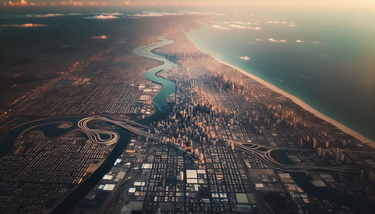
RIGHTRight side captures Bangkok's urban sprawl and the Chao Phraya River delta during initial climb. The river's distinctive meanders and the city's grid pattern are visible from 3,000–8,000 feet before the aircraft turns southeast toward Brunei. Left side shows only flat agricultural plains and industrial zones north of the airport.
Landing at BWN
LEFTLeft side offers the only meaningful scenery during approach to Brunei. The aircraft descends over the Brunei Bay coastline and the Limbang River delta, with mangrove forests and the South China Sea visible. Right side shows only open ocean and featureless water for the final 30 minutes of descent.
Will your flight be in sunlight?
Pick a date and time in the Sun Map to watch the sun move across your whole flight.
About This Route
Which side of the plane should I sit on flying from Suvarnabhumi Airport (BKK) to Brunei International (BWN)?
Sit on the Right side of the plane for the best views on flights from Bangkok to Brunei. Right side edges ahead due to superior takeoff scenery from Bangkok's Chao Phraya delta and urban landscape, which is visually distinctive and memorable. Landing scenery is equal on both sides (Brunei Bay and mangroves are modest features), but the Bangkok departure experience tips the balance. Both sides score 2.5 because this is a short regional flight (under 2 hours) over predominantly flat terrain with limited mountain or dramatic coastal features. The Brunei Bay approach prevents either side from scoring below 2.0, but the lack of major geographic drama keeps both capped at 2.5.
What can I see during takeoff from Suvarnabhumi Airport in Bangkok?
During takeoff from Suvarnabhumi Airport (BKK), sit on the Right side for the best views. Right side captures Bangkok's urban sprawl and the Chao Phraya River delta during initial climb. The river's distinctive meanders and the city's grid pattern are visible from 3,000–8,000 feet before the aircraft turns southeast toward Brunei. Left side shows only flat agricultural plains and industrial zones north of the airport. Notable sights include: Chao Phraya River delta with its braided channels, Bangkok's urban grid and high-rise clusters, Don Mueang International Airport (visible to the north), flat rice paddies and fish farms extending inland.
What can I see when landing at Brunei International in Brunei?
When landing at Brunei International (BWN), sit on the Left side for the best views. Left side offers the only meaningful scenery during approach to Brunei. The aircraft descends over the Brunei Bay coastline and the Limbang River delta, with mangrove forests and the South China Sea visible. Right side shows only open ocean and featureless water for the final 30 minutes of descent. Notable sights include: Brunei Bay with its shallow turquoise waters, Limbang River delta and mangrove forests, the Brunei coastline with its low-lying terrain, South China Sea horizon.
How long is the flight from Bangkok to Brunei?
The flight from Suvarnabhumi Airport (BKK) to Brunei International (BWN) takes about 2 hours 55 minutes. The shortest flight path between them is 1,139 miles (1,833 km); winds and air traffic control usually add a few percent.
What does the Bangkok to Brunei flight path pass over?
Sarawak coastline and the Rajang River delta (Malaysia's largest river, visible as a broad muddy plume entering the South China Sea); transition from Thai agricultural plains to Malaysian coastal lowlands and mangrove forests; the Natuna Sea with scattered fishing vessels and oil platforms; gradual shift from mainland Southeast Asia to the island geography of Brunei and northern Borneo