The right side offers a stronger overall sequence: Bangkok's skyline at departure, a possible pass near Sumatra's volcanic Barisan range during cruise, and a scenic coastal arrival into Perth with the Swan River and Rottnest Island, whereas the left side faces mostly featureless interior terrain and open ocean.
Flight Path
Andaman Sea, Sumatra's Barisan Mountains, and the open Indian Ocean, with the flight path passing near the Cocos (Keeling) Islands roughly midway between Sumatra and the Australian coast
Great circle distance and headings ›.jpg?width=600)

Phase by phase
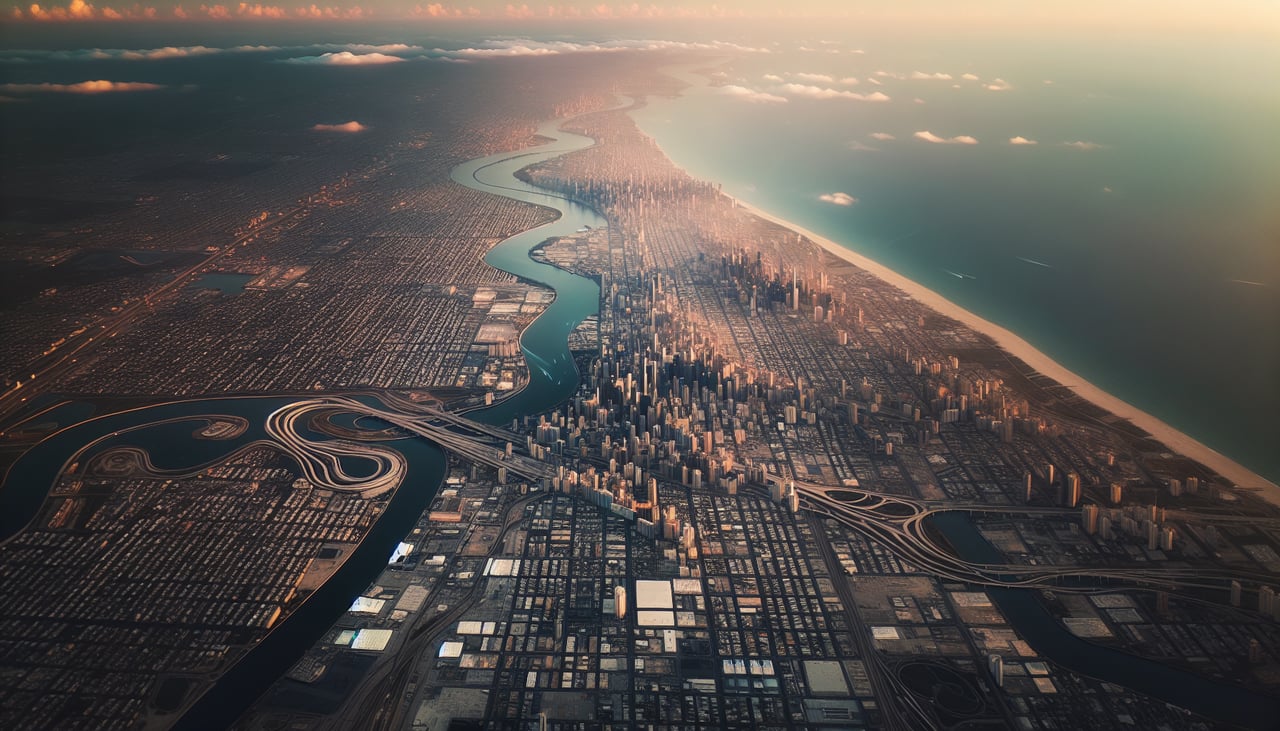
Takeoff from BKK
RIGHTSuvarnabhumi's runways run north-south, and Bangkok's dense downtown and Chao Phraya river bends sit to the west of the airport, so the right-side window catches the skyline and river delta as the aircraft climbs out over the Gulf of Thailand's flat, waterlogged rice paddies.
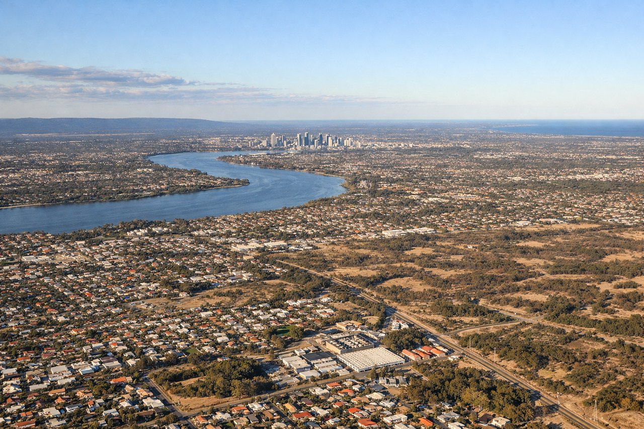
Landing at PER
RIGHTFlights into Perth on runway 21 typically track south along the coast before turning inland, putting the Indian Ocean, Rottnest Island, and the mouth of the Swan River on the right side as the city and Kings Park pass below during final descent.
Landmarks on this routeAll landmarks →
Will your flight be in sunlight?
See exactly which side of the plane gets sun and shade at your departure time.
About This Route
Which side of the plane should I sit on flying from Suvarnabhumi Airport (BKK) to Perth International (PER)?
Sit on the Right side of the plane for the best views on flights from Bangkok to Perth. The right side offers a stronger overall sequence: Bangkok's skyline at departure, a possible pass near Sumatra's volcanic Barisan range during cruise, and a scenic coastal arrival into Perth with the Swan River and Rottnest Island, whereas the left side faces mostly featureless interior terrain and open ocean.
What can I see during takeoff from Suvarnabhumi Airport in Bangkok?
During takeoff from Suvarnabhumi Airport (BKK), sit on the Right side for the best views. Suvarnabhumi's runways run north-south, and Bangkok's dense downtown and Chao Phraya river bends sit to the west of the airport, so the right-side window catches the skyline and river delta as the aircraft climbs out over the Gulf of Thailand's flat, waterlogged rice paddies. Notable sights include: Bangkok skyline, Chao Phraya River delta, Gulf of Thailand coastline.
What can I see when landing at Perth International in Perth?
When landing at Perth International (PER), sit on the Right side for the best views. Flights into Perth on runway 21 typically track south along the coast before turning inland, putting the Indian Ocean, Rottnest Island, and the mouth of the Swan River on the right side as the city and Kings Park pass below during final descent. Notable sights include: Rottnest Island, Swan River mouth, Fremantle harbor, Perth city skyline.
How long is the flight from Bangkok to Perth?
The flight from Suvarnabhumi Airport (BKK) to Perth International (PER) takes 5h 15m.
What does the Bangkok to Perth flight path pass over?
Andaman Sea, Sumatra's Barisan Mountains, and the open Indian Ocean, with the flight path passing near the Cocos (Keeling) Islands roughly midway between Sumatra and the Australian coast