While takeoff offers pleasant rural scenery, the landing approach on the left side delivers the most dramatic and memorable views: the Mediterranean coastline, the Baie des Anges, and the sudden rise of the Maritime Alps create a striking visual finale that outweighs the departure experience.
Flown BRU to NCE? Did we get it right?
Flight Path
Brussels to Nice is 516 miles (831 km), a flight of about 2 hours 15 minutes.
The flight path crosses the Jura Mountains (visible as a low, forested ridge range around the 1-hour mark), then follows the Rhône Valley southward. The Rhône River itself may be visible as a thin line through the valley floor. As you approach the Mediterranean, the terrain transitions from the Central Massif foothills to increasingly dramatic Alpine peaks, with the Provence region's distinctive lavender fields and limestone plateaus visible in the final 30 minutes before the Maritime Alps dominate the view.
Great circle distance and headings ›


Phase by phase
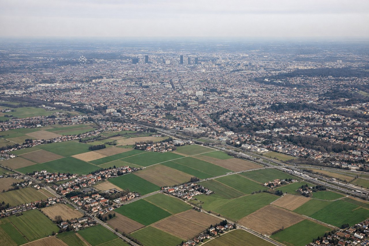
Takeoff from BRU
RIGHTRight-side seats offer views of the Meuse River valley and the low-lying Flemish plains stretching southward toward France. You'll see the industrial areas around Brussels fade into agricultural patchwork, with occasional canal networks glinting in sunlight.
Landing at NCE
LEFTLeft-side seats provide stunning views of the French Riviera coastline and the Maritime Alps as you descend toward Nice. You'll see the Mediterranean Sea, the Baie des Anges, and the dramatic Alpine foothills rising directly behind the coast.
Will your flight be in sunlight?
Pick a date and time in the Sun Map to watch the sun move across your whole flight.
About This Route
Which side of the plane should I sit on flying from Brussels Natl (BRU) to Cote D Azur (NCE)?
Sit on the Left side of the plane for the best views on flights from Brussels to Nice. While takeoff offers pleasant rural scenery, the landing approach on the left side delivers the most dramatic and memorable views: the Mediterranean coastline, the Baie des Anges, and the sudden rise of the Maritime Alps create a striking visual finale that outweighs the departure experience.
What can I see during takeoff from Brussels Natl in Brussels?
During takeoff from Brussels Natl (BRU), sit on the Right side for the best views. Right-side seats offer views of the Meuse River valley and the low-lying Flemish plains stretching southward toward France. You'll see the industrial areas around Brussels fade into agricultural patchwork, with occasional canal networks glinting in sunlight. Notable sights include: Meuse River, Flemish agricultural plains, Brussels urban sprawl, Belgian canal network.
What can I see when landing at Cote D Azur in Nice?
When landing at Cote D Azur (NCE), sit on the Left side for the best views. Left-side seats provide stunning views of the French Riviera coastline and the Maritime Alps as you descend toward Nice. You'll see the Mediterranean Sea, the Baie des Anges, and the dramatic Alpine foothills rising directly behind the coast. Notable sights include: Maritime Alps, Mediterranean Sea, Baie des Anges, Côte d'Azur coastline.
How long is the flight from Brussels to Nice?
The flight from Brussels Natl (BRU) to Cote D Azur (NCE) takes about 2 hours 15 minutes. The shortest flight path between them is 516 miles (831 km); winds and air traffic control usually add a few percent.
What does the Brussels to Nice flight path pass over?
The flight path crosses the Jura Mountains (visible as a low, forested ridge range around the 1-hour mark), then follows the Rhône Valley southward. The Rhône River itself may be visible as a thin line through the valley floor. As you approach the Mediterranean, the terrain transitions from the Central Massif foothills to increasingly dramatic Alpine peaks, with the Provence region's distinctive lavender fields and limestone plateaus visible in the final 30 minutes before the Maritime Alps dominate the view.