The right side scores higher due to the dramatic Istanbul approach over the Sea of Marmara and Bosphorus, plus the visual contrast of the city spanning two continents. While the Brussels departure offers some urban interest, the majority of the flight crosses flat European plains with minimal terrain variation. The landing sequence on the right side—transitioning from open water to dense coastal city—provides significantly more visual drama and geographic interest than the takeoff alone.
Flown BRU to SAW? Did we get it right?
Flight Path
Brussels to Pendik, Istanbul is 1,370 miles (2,204 km), a flight of about 3 hours 15 minutes.
Danube River valley (Hungary/Serbia border region), Carpathian Mountains (distant, low relief from cruise altitude), Balkans foothills (Serbia/Bulgaria), Thracian plains (Bulgaria/Turkey), Black Sea coast approaching Turkey
Great circle distance and headings ›


Phase by phase
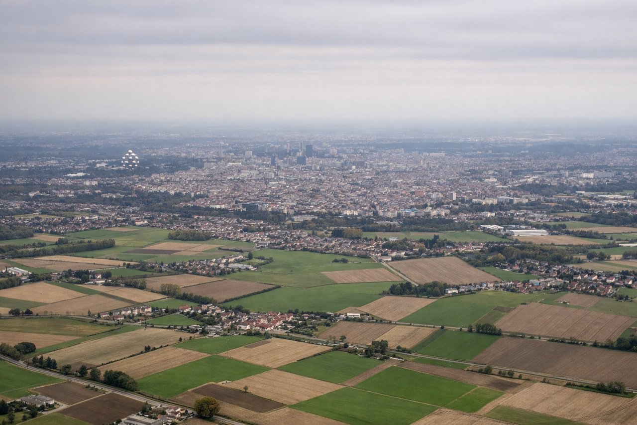
Takeoff from BRU
LEFTBrussels departure offers urban scenery of the city and surrounding Flemish plains. The left side captures the Brussels metropolitan area during climb-out, with the city's grid pattern and industrial zones visible before transitioning to flat agricultural terrain.
Landing at SAW
RIGHTIstanbul's approach from the west provides dramatic coastal and urban scenery. The right side captures the Marmara Sea, the Bosphorus strait, and Istanbul's sprawling cityscape across both European and Asian shores during descent into Sabiha Gökçen.
Will your flight be in sunlight?
Pick a date and time in the Sun Map to watch the sun move across your whole flight.
About This Route
Which side of the plane should I sit on flying from Brussels Natl (BRU) to Istanbul Sabiha Gökçen International Airport (SAW)?
Sit on the Right side of the plane for the best views on flights from Brussels to Pendik, Istanbul. The right side scores higher due to the dramatic Istanbul approach over the Sea of Marmara and Bosphorus, plus the visual contrast of the city spanning two continents. While the Brussels departure offers some urban interest, the majority of the flight crosses flat European plains with minimal terrain variation. The landing sequence on the right side—transitioning from open water to dense coastal city—provides significantly more visual drama and geographic interest than the takeoff alone.
What can I see during takeoff from Brussels Natl in Brussels?
During takeoff from Brussels Natl (BRU), sit on the Left side for the best views. Brussels departure offers urban scenery of the city and surrounding Flemish plains. The left side captures the Brussels metropolitan area during climb-out, with the city's grid pattern and industrial zones visible before transitioning to flat agricultural terrain. Notable sights include: Brussels city center and suburbs, Meuse River valley to the southeast, Ardennes plateau edge (distant, low relief).
What can I see when landing at Istanbul Sabiha Gökçen International Airport in Pendik, Istanbul?
When landing at Istanbul Sabiha Gökçen International Airport (SAW), sit on the Right side for the best views. Istanbul's approach from the west provides dramatic coastal and urban scenery. The right side captures the Marmara Sea, the Bosphorus strait, and Istanbul's sprawling cityscape across both European and Asian shores during descent into Sabiha Gökçen. Notable sights include: Sea of Marmara (bright blue water), Bosphorus strait (narrow waterway separating Europe and Asia), Istanbul's urban sprawl across both continents, Prince Islands (small islands in Marmara visible as dark specks).
How long is the flight from Brussels to Pendik, Istanbul?
The flight from Brussels Natl (BRU) to Istanbul Sabiha Gökçen International Airport (SAW) takes about 3 hours 15 minutes. The shortest flight path between them is 1,370 miles (2,204 km); winds and air traffic control usually add a few percent.
What does the Brussels to Pendik, Istanbul flight path pass over?
Danube River valley (Hungary/Serbia border region), Carpathian Mountains (distant, low relief from cruise altitude), Balkans foothills (Serbia/Bulgaria), Thracian plains (Bulgaria/Turkey), Black Sea coast approaching Turkey