The left side wins both phases of the flight: Cebu City and its central mountains dominate the climb-out, and Boracay's iconic turquoise lagoon and white beaches appear during the final approach into Caticlan, while the right side offers mostly featureless open sea throughout.
Flown CEB to MPH? Did we get it right?
Flight Path
Cebu to Caticlan is 177 miles (285 km), a flight of about 55 minutes.
The route crosses the Visayan Sea, passing north of Negros Island where the volcanic cone of Mt. Kanlaon can appear on the left horizon, before continuing over open water toward Panay Island's northern tip near Caticlan.
Great circle distance and headings ›Phase by phase
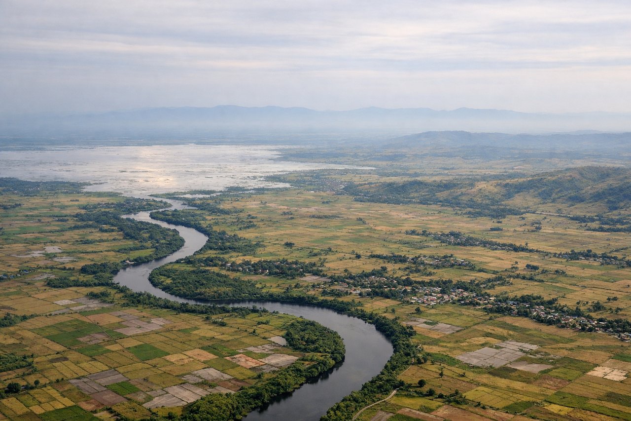
Takeoff from CEB
LEFTDeparting Mactan-Cebu on the NE-facing runway (typical Nov-April Amihan pattern), the aircraft climbs out over the Camotes Sea then banks left toward Panay, swinging the left windows across Cebu City's skyline and the island's central mountain spine. The right side only shows open water toward Bohol and Leyte with no real landmarks.
Landing at MPH
LEFTOn the common northeast-landing approach into Caticlan, the final turn brings Boracay Island's white-sand coastline and turquoise lagoon into view on the left side just before touchdown. The right side mostly faces Panay's interior hills and offers a less dramatic view during descent.
Will your flight be in sunlight?
Pick a date and time in the Sun Map to watch the sun move across your whole flight.
About This Route
Which side of the plane should I sit on flying from Mactan Cebu International Airport (CEB) to Godofredo P. Ramos Airport (MPH)?
Sit on the Left side of the plane for the best views on flights from Cebu to Caticlan. The left side wins both phases of the flight: Cebu City and its central mountains dominate the climb-out, and Boracay's iconic turquoise lagoon and white beaches appear during the final approach into Caticlan, while the right side offers mostly featureless open sea throughout.
What can I see during takeoff from Mactan Cebu International Airport in Cebu?
During takeoff from Mactan Cebu International Airport (CEB), sit on the Left side for the best views. Departing Mactan-Cebu on the NE-facing runway (typical Nov-April Amihan pattern), the aircraft climbs out over the Camotes Sea then banks left toward Panay, swinging the left windows across Cebu City's skyline and the island's central mountain spine. The right side only shows open water toward Bohol and Leyte with no real landmarks. Notable sights include: Cebu City skyline, Mactan Channel, Central Cebu mountain ridge, Camotes Sea.
What can I see when landing at Godofredo P. Ramos Airport in Caticlan?
When landing at Godofredo P. Ramos Airport (MPH), sit on the Left side for the best views. On the common northeast-landing approach into Caticlan, the final turn brings Boracay Island's white-sand coastline and turquoise lagoon into view on the left side just before touchdown. The right side mostly faces Panay's interior hills and offers a less dramatic view during descent. Notable sights include: Boracay Island's white beach and lagoon, Tabon Strait, Panay's northern coastline, Sibuyan Sea.
How long is the flight from Cebu to Caticlan?
The flight from Mactan Cebu International Airport (CEB) to Godofredo P. Ramos Airport (MPH) takes about 55 minutes. The shortest flight path between them is 177 miles (285 km); winds and air traffic control usually add a few percent.
What does the Cebu to Caticlan flight path pass over?
The route crosses the Visayan Sea, passing north of Negros Island where the volcanic cone of Mt. Kanlaon can appear on the left horizon, before continuing over open water toward Panay Island's northern tip near Caticlan.