Cebu to Coron is 291 miles (469 km), a flight of about 1 hour 15 minutes.
The left side wins the whole flight: Cebu City and its mountainous spine at departure, scattered Visayan islands during cruise, and the dramatic Coron limestone karst islands on arrival, while the right side is dominated by open sea for most of the route.
Flight Path
The route crosses the Visayan Sea and Cuyo East Pass, passing south of Panay Island and north of the Cuyo Islands, before entering the Sulu Sea's turquoise shallows near the Calamian Islands.
Great circle distance and headings ›Phase by phase
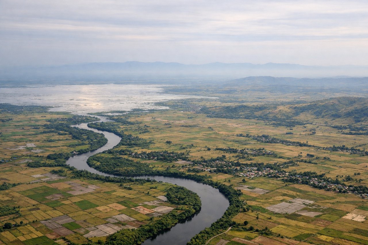
Takeoff from CEB
LEFTAfter departing Mactan-Cebu, the aircraft turns onto its northwest heading toward Coron, putting Cebu City, the Mactan Channel bridges, and the island's forested central mountain spine on the left side. The right side mostly faces the open Camotes Sea with little to see.
Landing at USU
LEFTOn approach into Busuanga, the flight path from the southeast keeps Coron Island's famous limestone karst cliffs and the turquoise lagoons of Coron Bay on the left, with Culion Island visible further south. The right side shows only open Sulu Sea water with no comparable landmarks.
Will your flight be in sunlight?
Pick a date and time in the Sun Map to watch the sun move across your whole flight.
About This Route
Which side of the plane should I sit on flying from Mactan Cebu International Airport (CEB) to Francisco B. Reyes (Busuanga) Airport (USU)?
Sit on the Left side of the plane for the best views on flights from Cebu to Coron. The left side wins the whole flight: Cebu City and its mountainous spine at departure, scattered Visayan islands during cruise, and the dramatic Coron limestone karst islands on arrival, while the right side is dominated by open sea for most of the route.
What can I see during takeoff from Mactan Cebu International Airport in Cebu?
During takeoff from Mactan Cebu International Airport (CEB), sit on the Left side for the best views. After departing Mactan-Cebu, the aircraft turns onto its northwest heading toward Coron, putting Cebu City, the Mactan Channel bridges, and the island's forested central mountain spine on the left side. The right side mostly faces the open Camotes Sea with little to see. Notable sights include: Cebu City skyline and port, the twin Mactan-Mandaue bridges, Cebu's central mountain ridge (Busay Hills), Camotes Sea stretching south.
What can I see when landing at Francisco B. Reyes (Busuanga) Airport in Coron?
When landing at Francisco B. Reyes (Busuanga) Airport (USU), sit on the Left side for the best views. On approach into Busuanga, the flight path from the southeast keeps Coron Island's famous limestone karst cliffs and the turquoise lagoons of Coron Bay on the left, with Culion Island visible further south. The right side shows only open Sulu Sea water with no comparable landmarks. Notable sights include: Coron Island's limestone karst cliffs, turquoise Coron Bay, Culion Island's mountainous outline, Busuanga's jungle-covered hills.
How long is the flight from Cebu to Coron?
The flight from Mactan Cebu International Airport (CEB) to Francisco B. Reyes (Busuanga) Airport (USU) takes about 1 hour 15 minutes. The shortest flight path between them is 291 miles (469 km); winds and air traffic control usually add a few percent.
What does the Cebu to Coron flight path pass over?
The route crosses the Visayan Sea and Cuyo East Pass, passing south of Panay Island and north of the Cuyo Islands, before entering the Sulu Sea's turquoise shallows near the Calamian Islands.