The westbound departure from São Paulo offers more dramatic scenery with the Serra da Mantiqueira escarpment, while the approach to Lima is relatively flat and arid. Left seats capture the more visually interesting terrain during the longer portion of the flight.
Flight Path
The flight path crosses the Brazilian interior plateau (Planalto Paulista), then transitions over the Paraná state region with scattered vegetation and agricultural areas. As the aircraft approaches Peru, it crosses the upper Amazon Basin tributaries and foothills of the eastern Andes. The Andes cordillera dominates the final approach, with the aircraft descending through the Rimac River valley toward the Pacific coastal plain where Lima sits.
Great circle distance and headings ›


Phase by phase
Takeoff from CGH
LEFTDeparting Congonhas heading northwest, the left side offers views of São Paulo's urban sprawl and the Serra da Mantiqueira escarpment rising inland. The right side faces the Atlantic coastal plain with less dramatic relief.
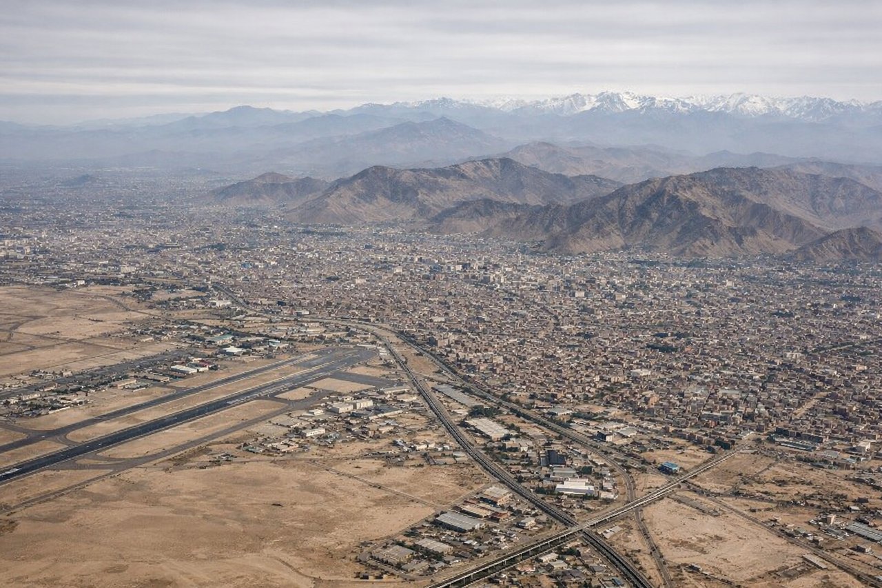
Landing at LIM
RIGHTApproaching Lima from the southeast, the right side provides views of the Andes foothills and the Rimac River valley descending toward the coast. The left side faces the Pacific Ocean with less distinctive features during final approach.
Landmarks on this routeAll landmarks →
Will your flight be in sunlight?
See exactly which side of the plane gets sun and shade at your departure time.
About This Route
Which side of the plane should I sit on flying from Congonhas (CGH) to Jorge Chávez International Airport (LIM)?
Sit on the Left side of the plane for the best views on flights from Sao Paulo to Lima. The westbound departure from São Paulo offers more dramatic scenery with the Serra da Mantiqueira escarpment, while the approach to Lima is relatively flat and arid. Left seats capture the more visually interesting terrain during the longer portion of the flight.
What can I see during takeoff from Congonhas in Sao Paulo?
During takeoff from Congonhas (CGH), sit on the Left side for the best views. Departing Congonhas heading northwest, the left side offers views of São Paulo's urban sprawl and the Serra da Mantiqueira escarpment rising inland. The right side faces the Atlantic coastal plain with less dramatic relief. Notable sights include: Serra da Mantiqueira (mountain range southeast of São Paulo), Pico do Itapeva (highest peak in the range at 2,798m, visible on clear days), urban São Paulo metropolitan area sprawl, Tietê River valley.
What can I see when landing at Jorge Chávez International Airport in Lima?
When landing at Jorge Chávez International Airport (LIM), sit on the Right side for the best views. Approaching Lima from the southeast, the right side provides views of the Andes foothills and the Rimac River valley descending toward the coast. The left side faces the Pacific Ocean with less distinctive features during final approach. Notable sights include: Andes Mountains (eastern horizon, snow-capped peaks visible on clear days), Rimac River valley (descending westward toward Lima), Lima city sprawl along the coastal plain, Pacific Ocean coastline.
How long is the flight from Sao Paulo to Lima?
The flight from Congonhas (CGH) to Jorge Chávez International Airport (LIM) takes 3h 50m.
What does the Sao Paulo to Lima flight path pass over?
The flight path crosses the Brazilian interior plateau (Planalto Paulista), then transitions over the Paraná state region with scattered vegetation and agricultural areas. As the aircraft approaches Peru, it crosses the upper Amazon Basin tributaries and foothills of the eastern Andes. The Andes cordillera dominates the final approach, with the aircraft descending through the Rimac River valley toward the Pacific coastal plain where Lima sits.