Jakarta to Pontianak is 454 miles (731 km), a flight of about 1 hour 15 minutes.
Right seats capture the Java Sea departure and the transition into Sumatra's coastal lowlands. The route crosses open water and peatland terrain where right-side positioning provides better sightlines to the Strait of Malacca region and the gradual transition from Java's populated zones to Borneo's less-developed interior.
Flight Path
The flight crosses the Java Sea heading northwest, passing over open water with scattered fishing vessels and small islands. Around midpoint, the coast of Sumatra or northern Borneo becomes visible. The route then transitions over the peatland lowlands and river systems of western Kalimantan (Borneo), characterized by extensive flat terrain, winding rivers, and dense vegetation with minimal urban development. The Kapuas River system becomes increasingly prominent as the aircraft descends toward Pontianak.
Great circle distance and headings ›Phase by phase
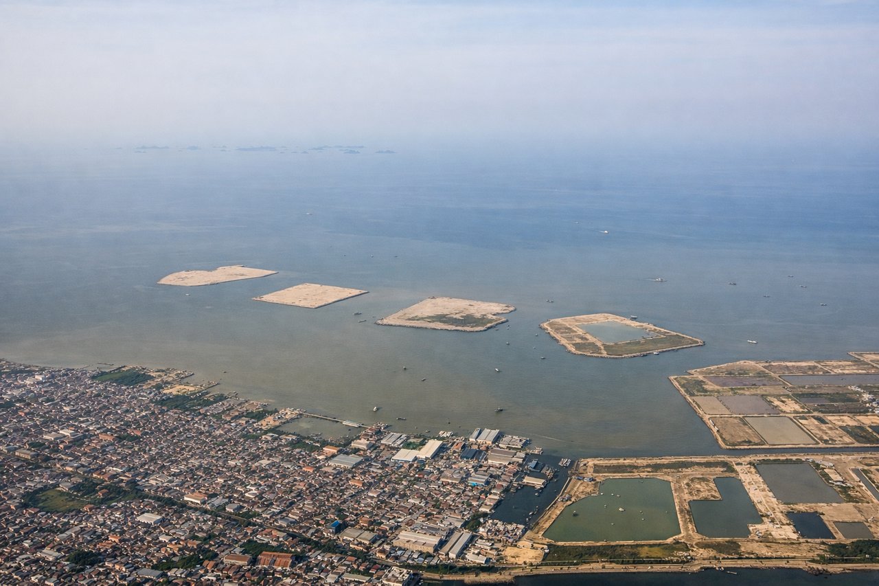
Takeoff from CGK
RIGHTCGK typically departs to the west or northwest. Right-side seats offer views of Jakarta's sprawl receding southward and the Java Sea opening up to the north, with clearer sightlines to the coastal geography. Left seats face inland toward the congested city center.
Landing at PNK
LEFTApproaching PNK from the southeast, left-side seats provide views of the Kapuas River system and the surrounding lowland terrain that dominates the approach. The river's distinctive meanders and the flat peatland landscape are more visible from the left bank during descent.
Will your flight be in sunlight?
Pick a date and time in the Sun Map to watch the sun move across your whole flight.
About This Route
Which side of the plane should I sit on flying from Soekarno Hatta International (CGK) to Supadio (PNK)?
Sit on the Right side of the plane for the best views on flights from Jakarta to Pontianak. Right seats capture the Java Sea departure and the transition into Sumatra's coastal lowlands. The route crosses open water and peatland terrain where right-side positioning provides better sightlines to the Strait of Malacca region and the gradual transition from Java's populated zones to Borneo's less-developed interior.
What can I see during takeoff from Soekarno Hatta International in Jakarta?
During takeoff from Soekarno Hatta International (CGK), sit on the Right side for the best views. CGK typically departs to the west or northwest. Right-side seats offer views of Jakarta's sprawl receding southward and the Java Sea opening up to the north, with clearer sightlines to the coastal geography. Left seats face inland toward the congested city center. Notable sights include: Java Sea (north), Jakarta urban sprawl (south and west), Pulau Seribu archipelago (northeast, visible as scattered islands), Ciliwung River delta (southwest).
What can I see when landing at Supadio in Pontianak?
When landing at Supadio (PNK), sit on the Left side for the best views. Approaching PNK from the southeast, left-side seats provide views of the Kapuas River system and the surrounding lowland terrain that dominates the approach. The river's distinctive meanders and the flat peatland landscape are more visible from the left bank during descent. Notable sights include: Kapuas River (main channel and meanders), Pontianak city center (on river), surrounding peatland and swamp forest (extensive flat terrain), Mempawah uplands (distant southern horizon).
How long is the flight from Jakarta to Pontianak?
The flight from Soekarno Hatta International (CGK) to Supadio (PNK) takes about 1 hour 15 minutes. The shortest flight path between them is 454 miles (731 km); winds and air traffic control usually add a few percent.
What does the Jakarta to Pontianak flight path pass over?
The flight crosses the Java Sea heading northwest, passing over open water with scattered fishing vessels and small islands. Around midpoint, the coast of Sumatra or northern Borneo becomes visible. The route then transitions over the peatland lowlands and river systems of western Kalimantan (Borneo), characterized by extensive flat terrain, winding rivers, and dense vegetation with minimal urban development. The Kapuas River system becomes increasingly prominent as the aircraft descends toward Pontianak.